🌿 Scottsdale Greenbelt Bike Path | McKellips to McDonald | Relaxing Ride with Calming Music 🚴
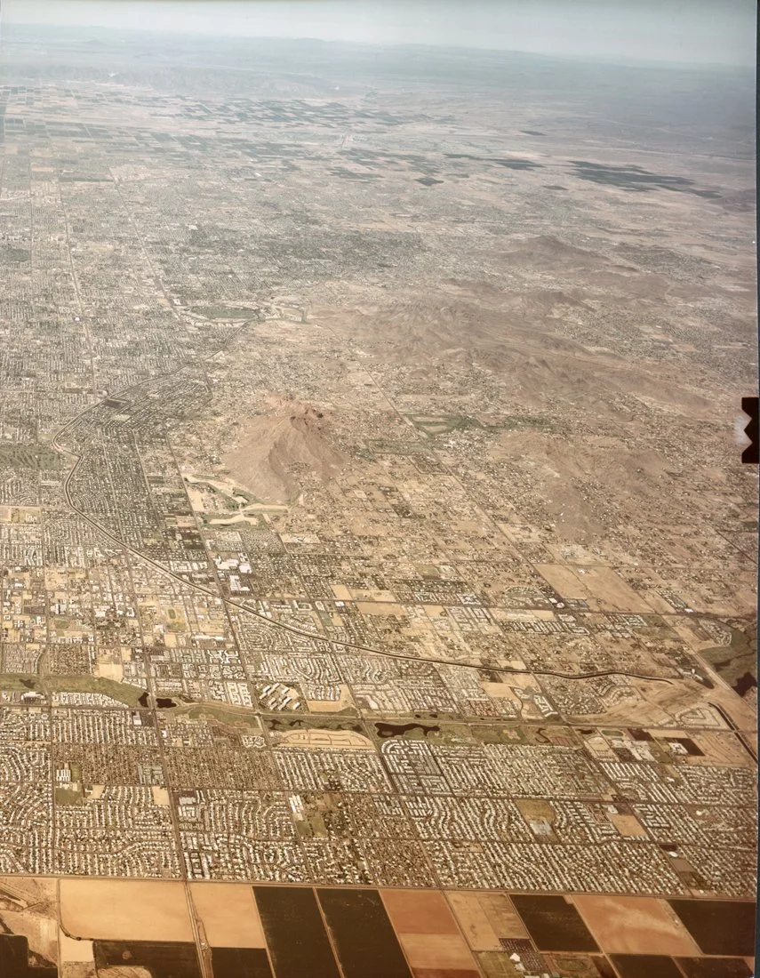
Take a peaceful ride along the Indian Bend Wash Greenbelt in Scottsdale, Arizona, from McKellips Road to McDonald Drive, filmed on March 13, 2025.
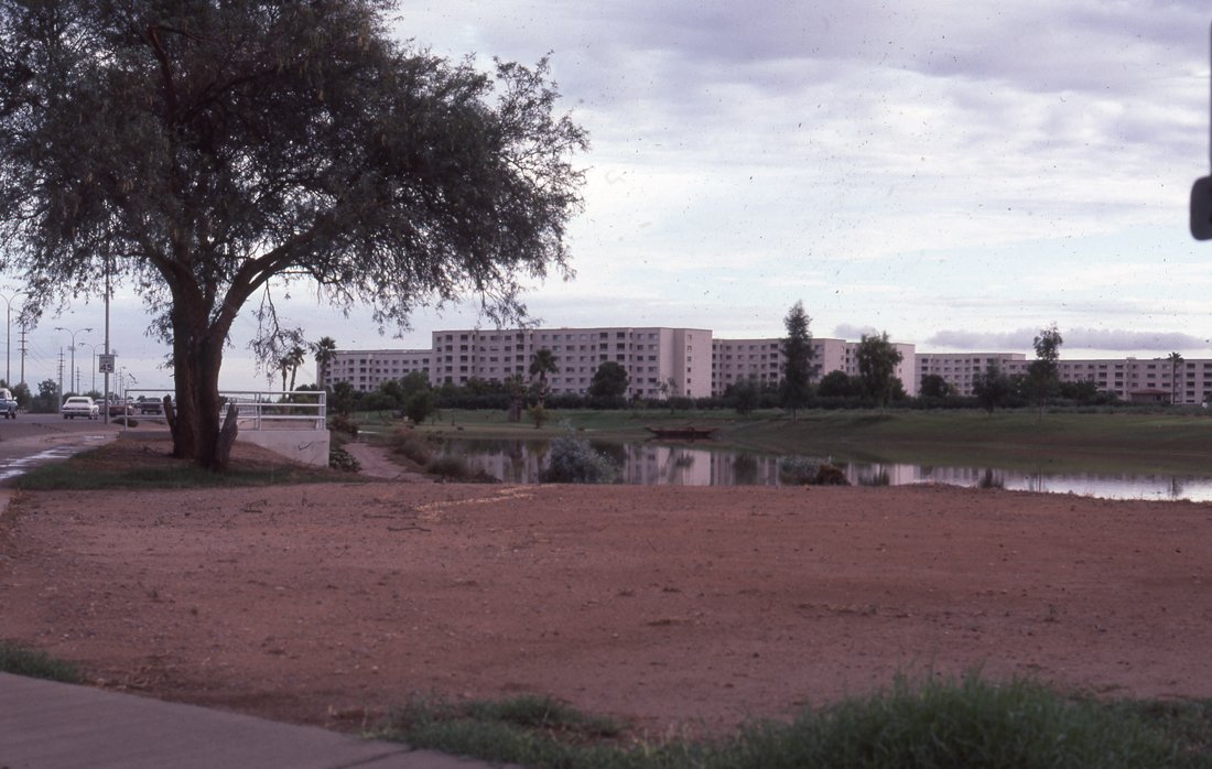
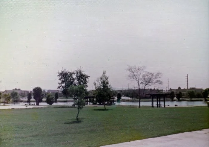
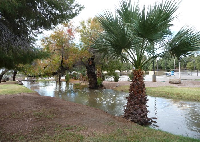
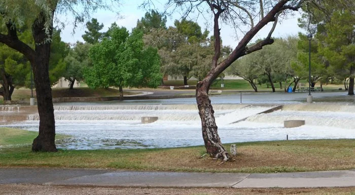
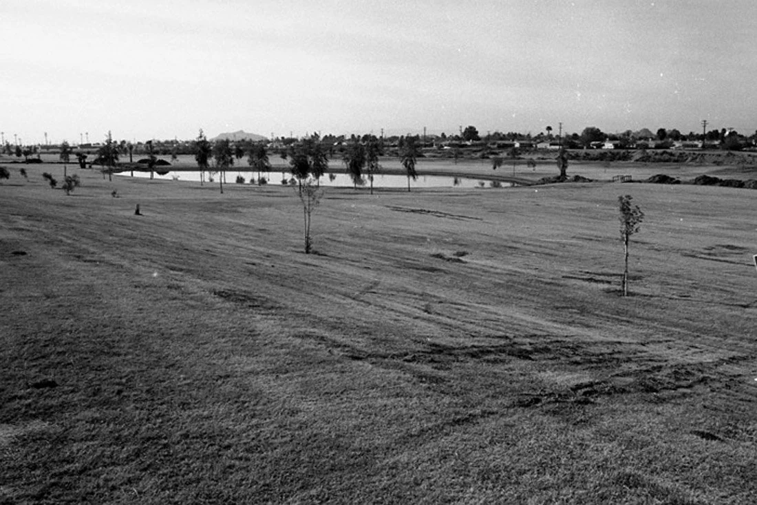
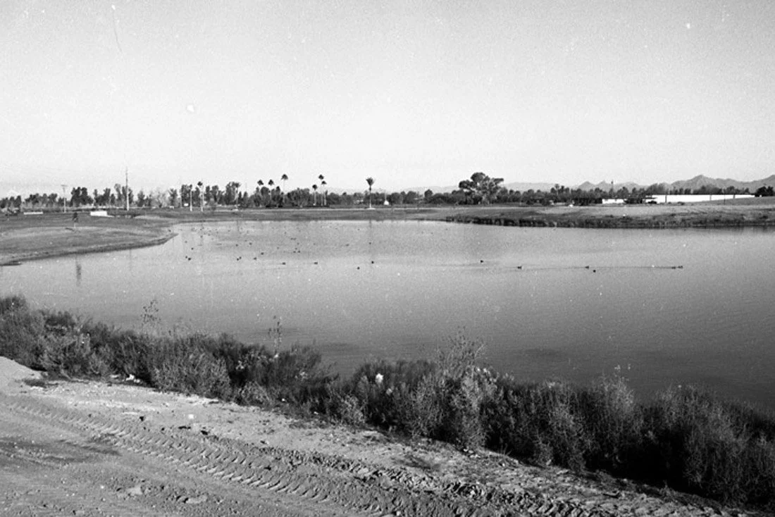
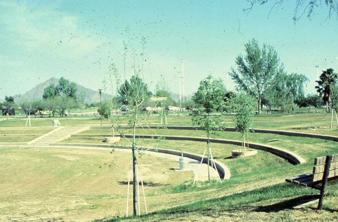
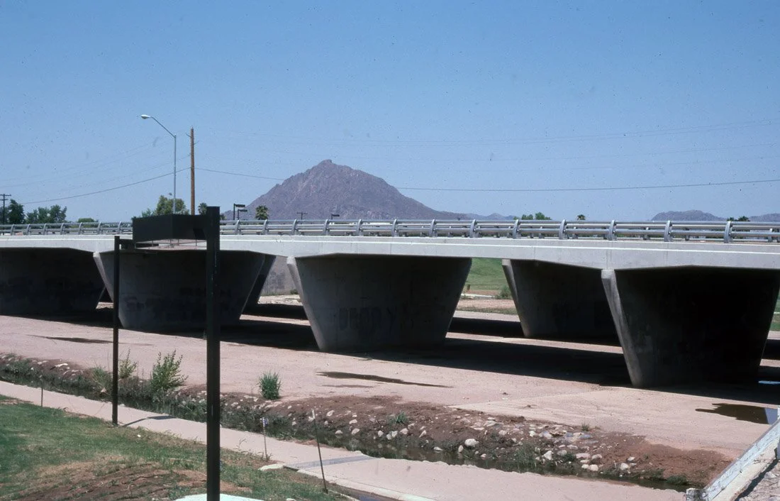
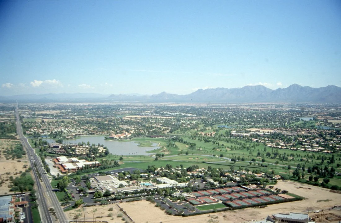
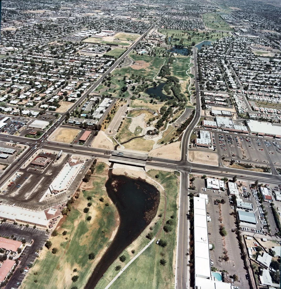
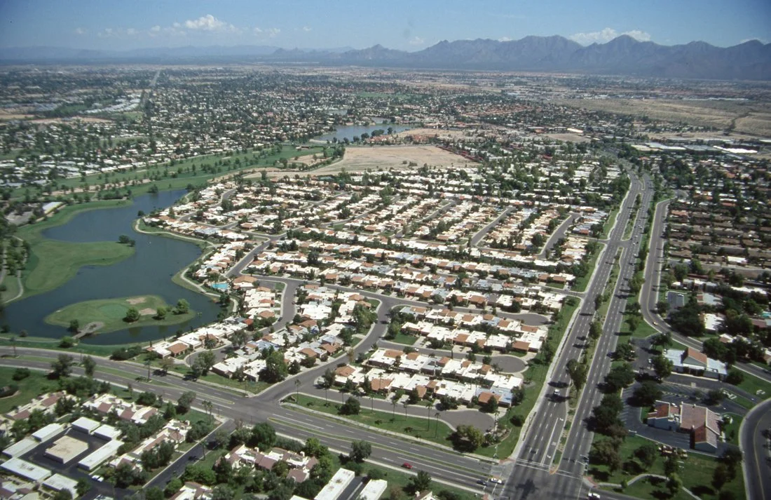
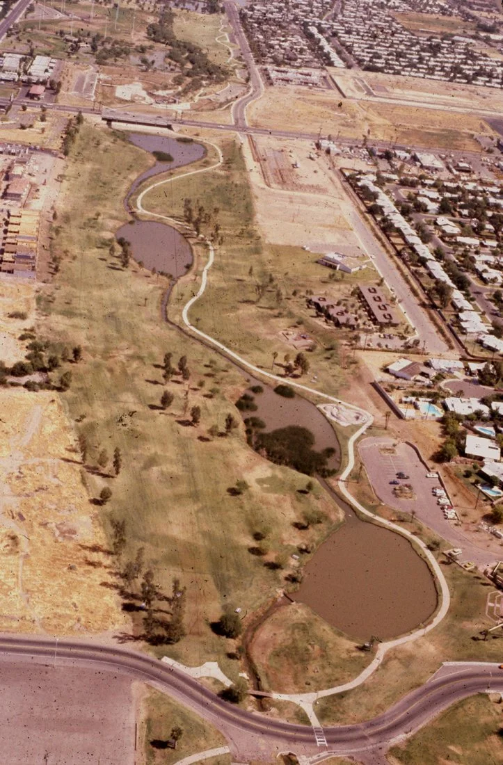
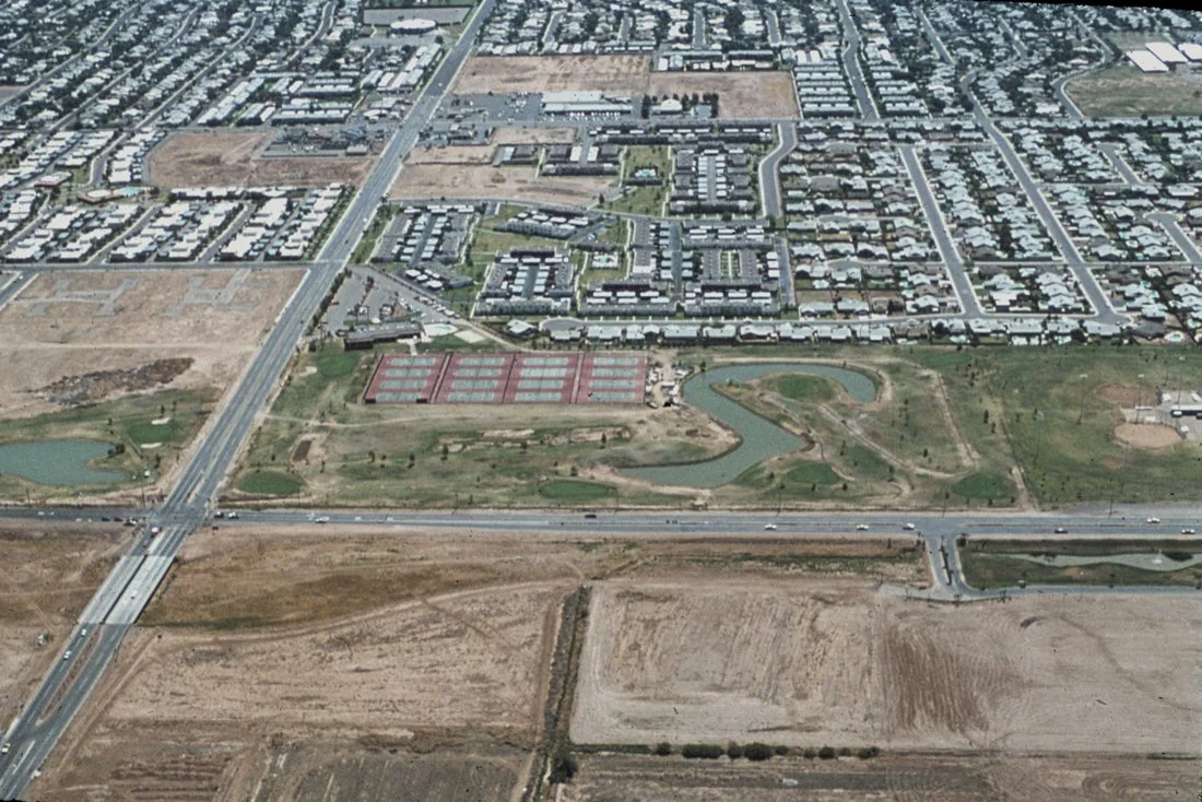
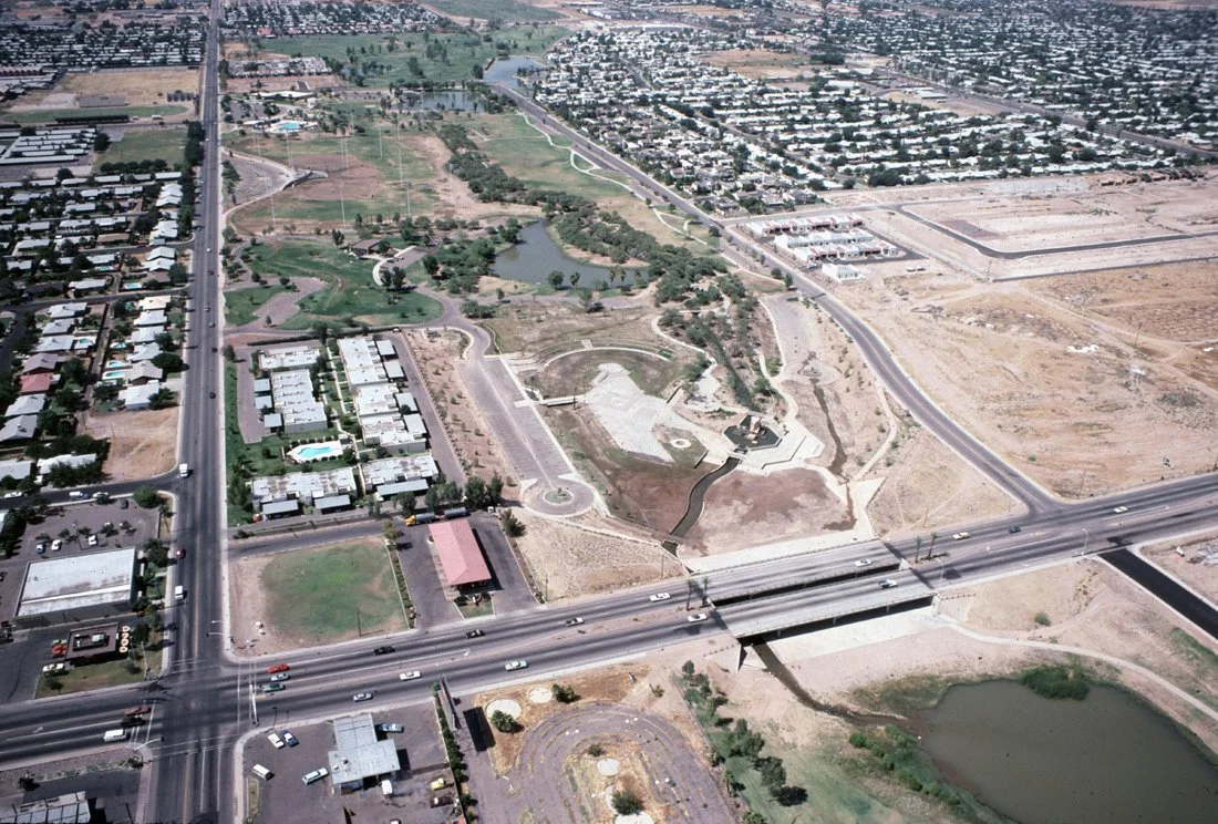
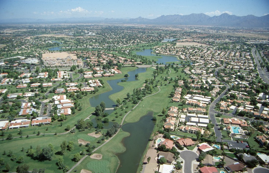
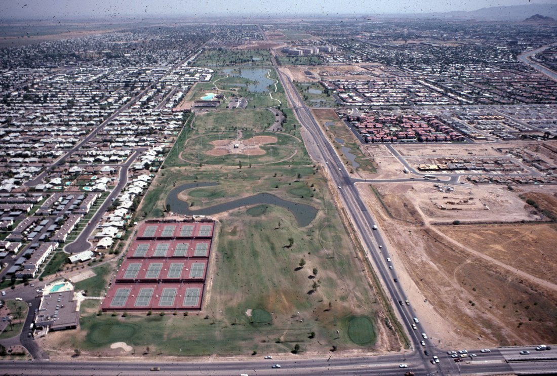
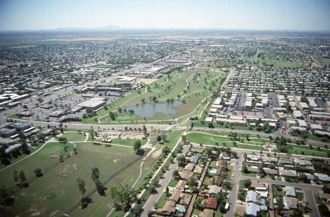
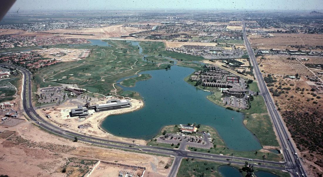
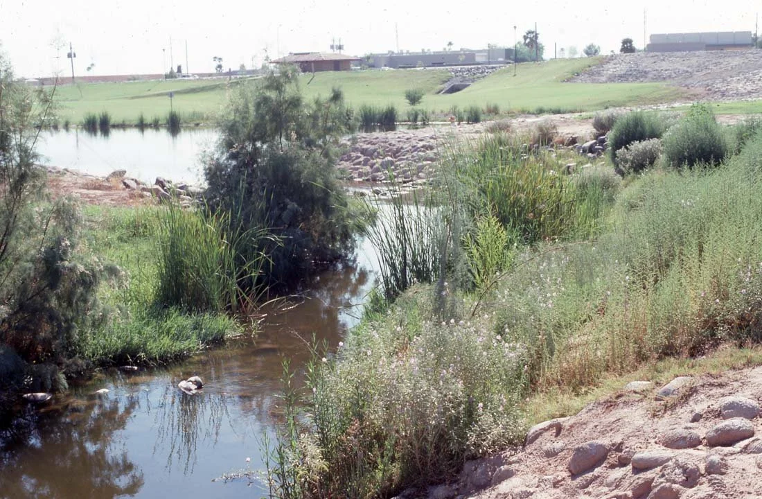
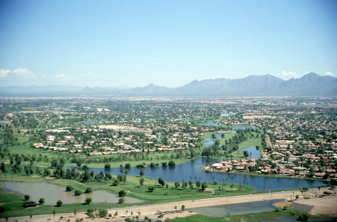
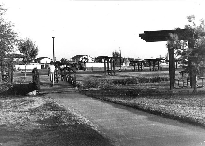
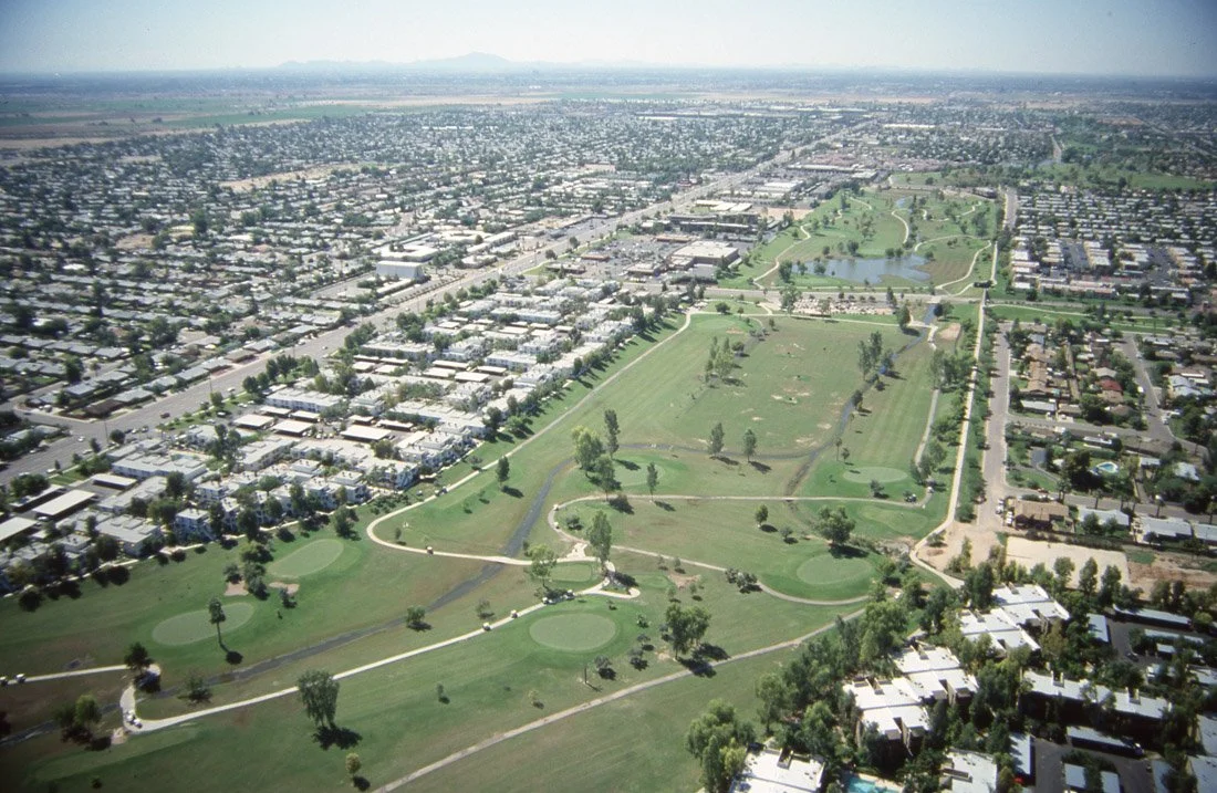
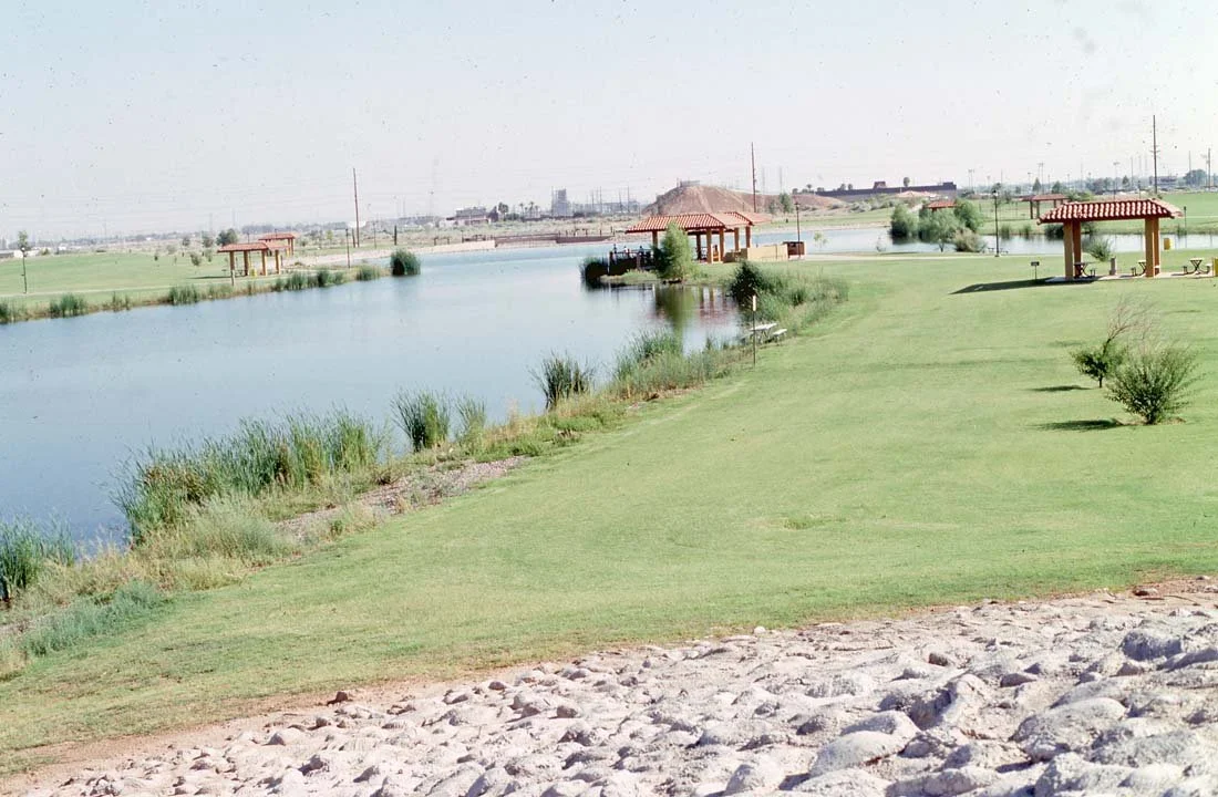
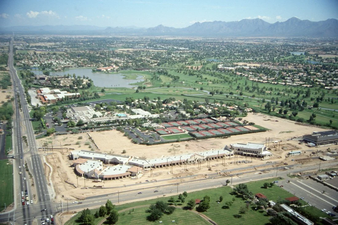
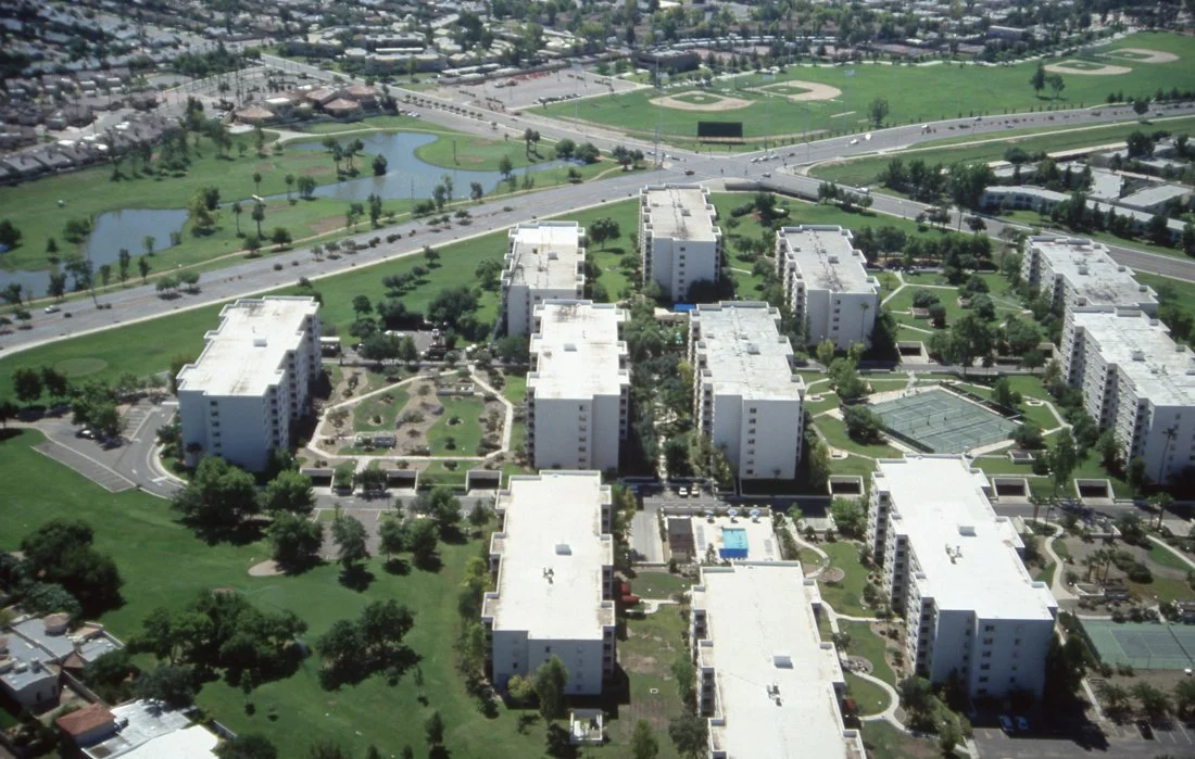
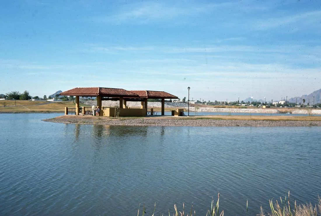
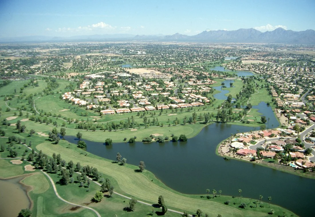
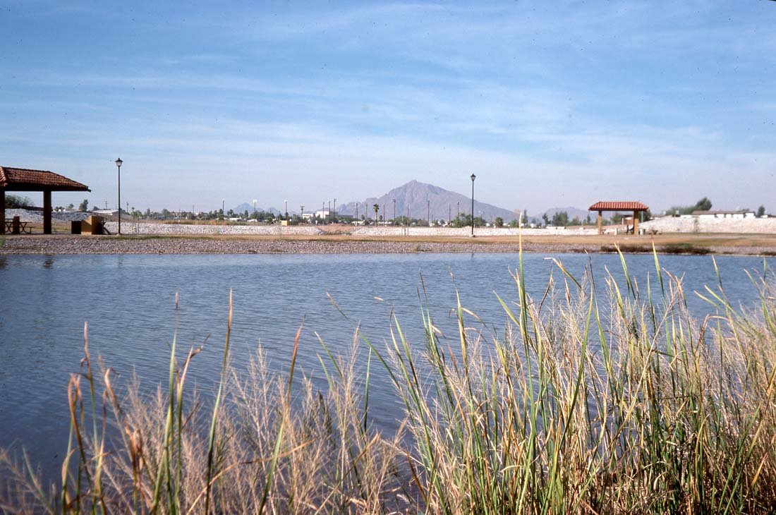
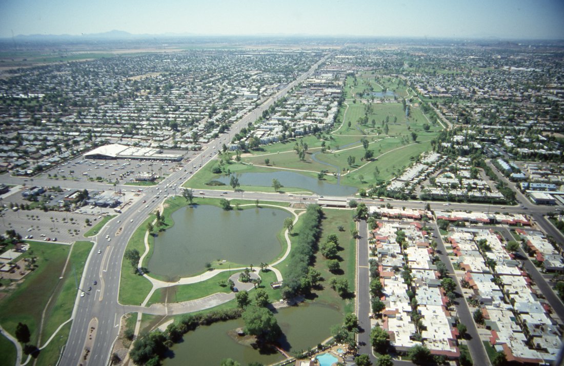
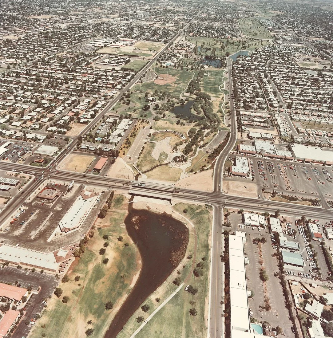
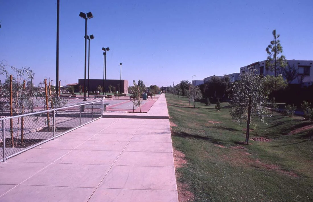
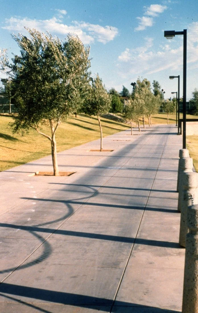
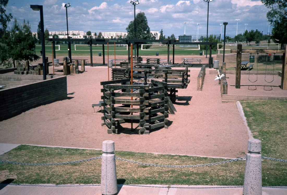
🌅 This scenic journey follows the lush, winding multi-use path through parks, lakes, and shaded trails, offering a calm and relaxing experience for cyclists, joggers, and walkers alike.
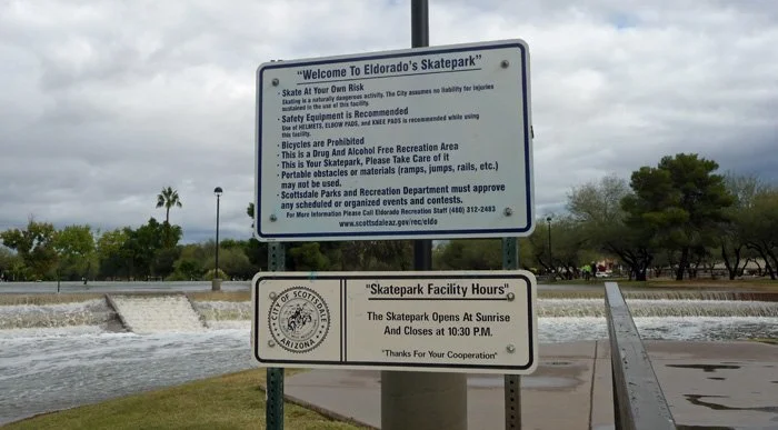
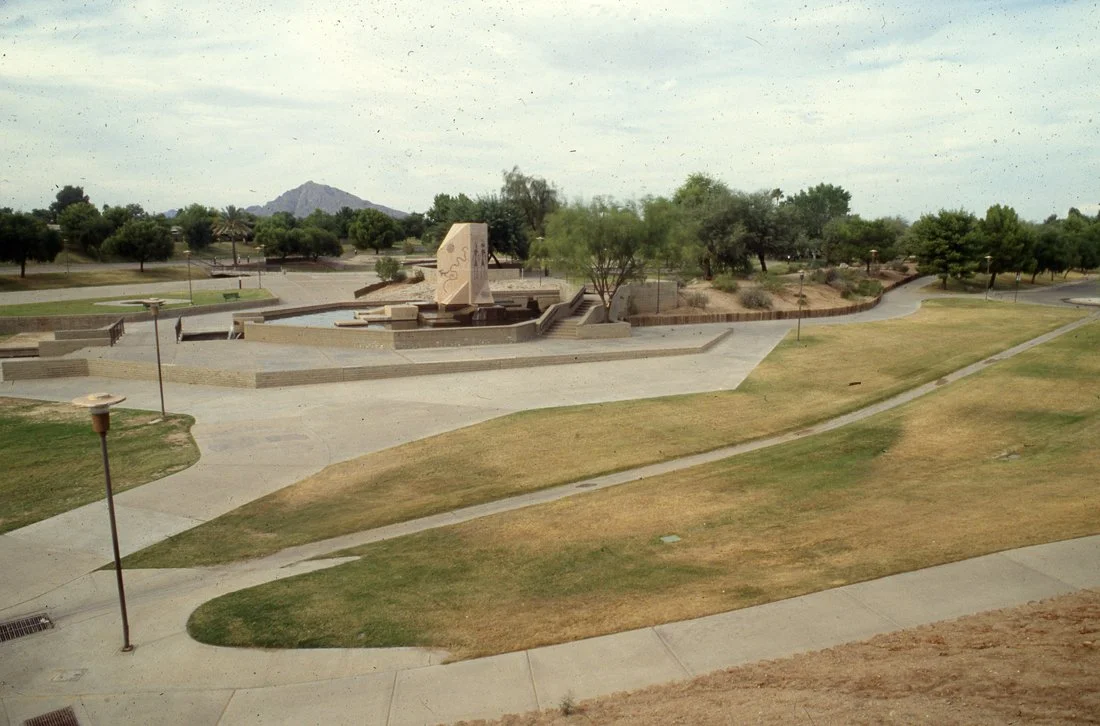
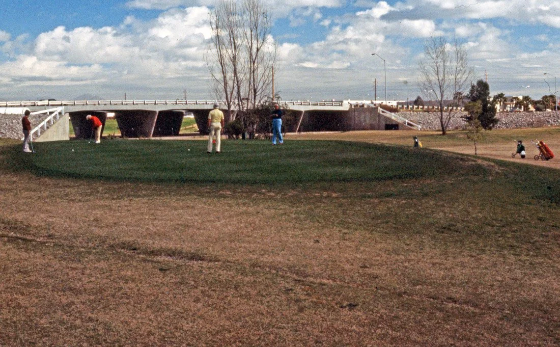
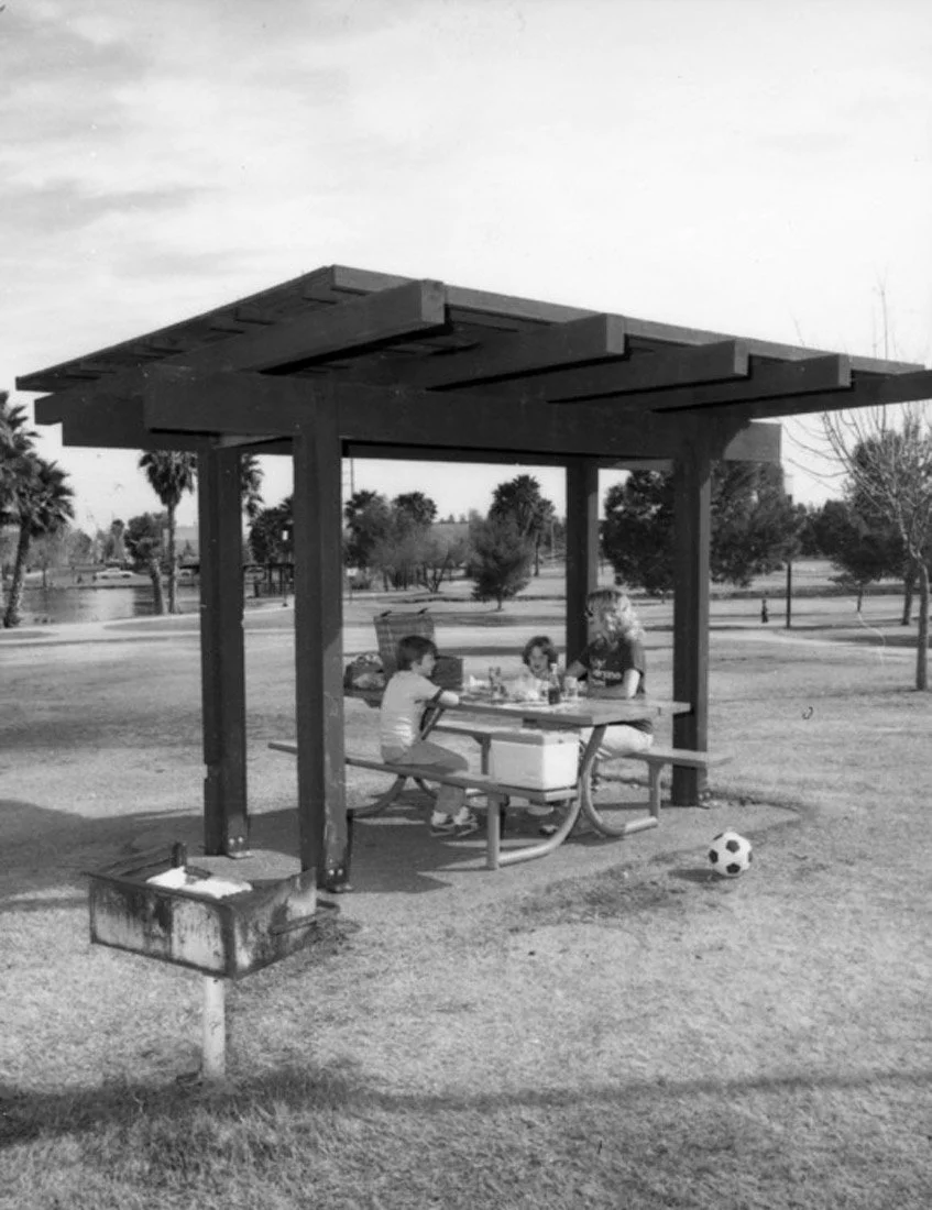
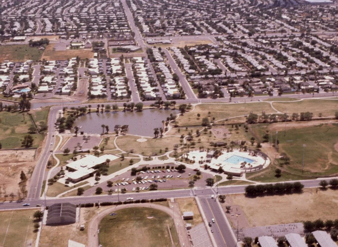
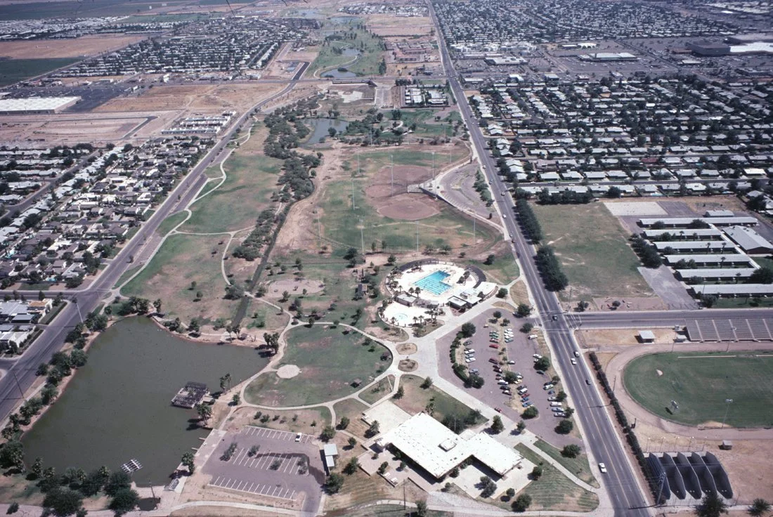
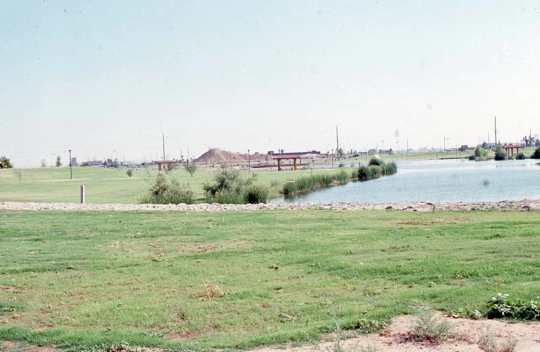
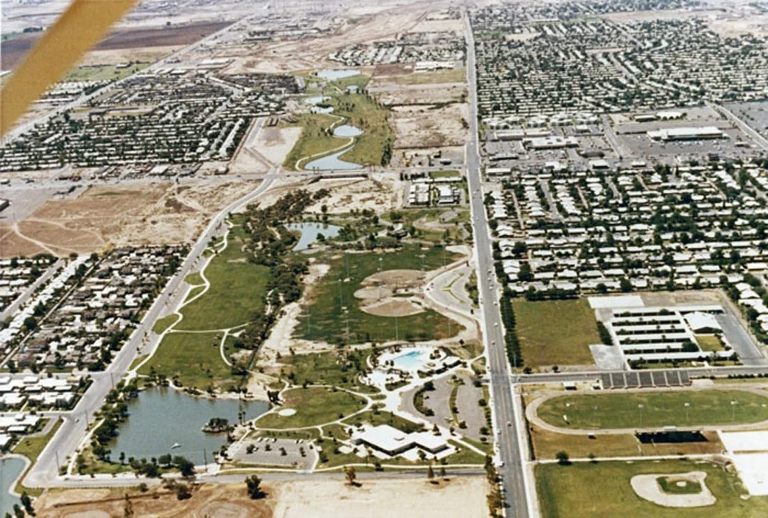
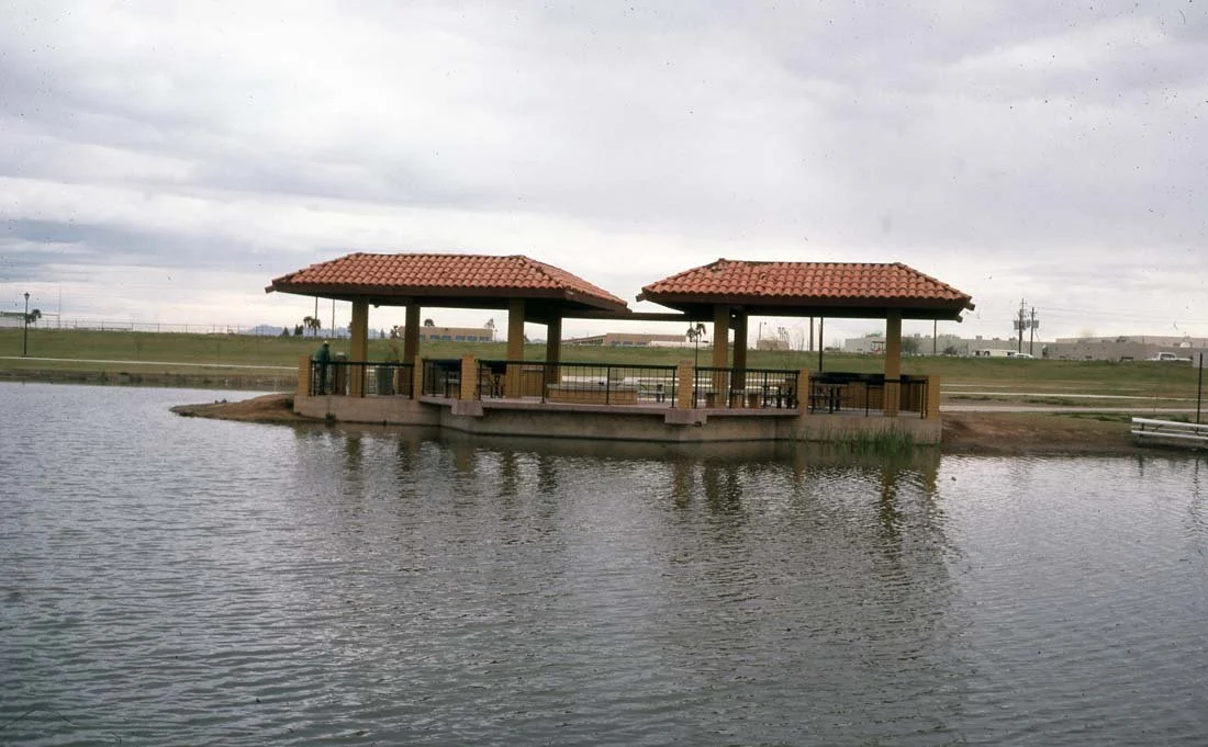
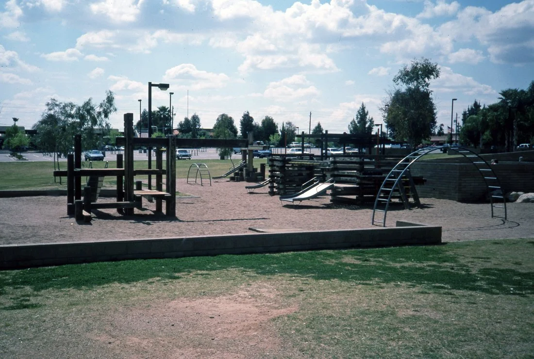
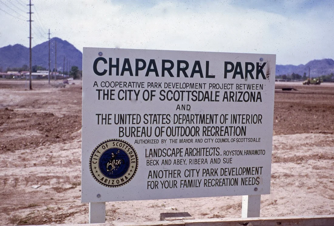
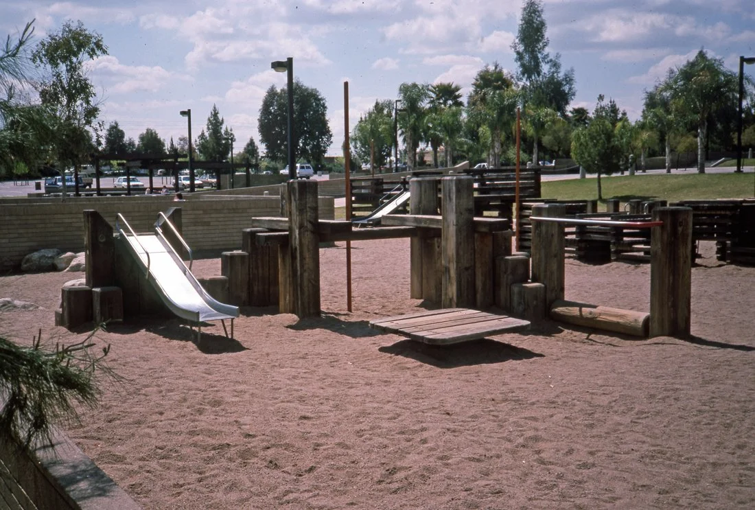
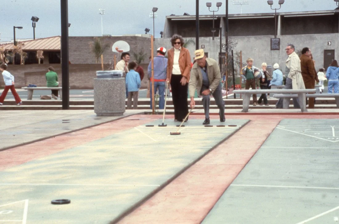
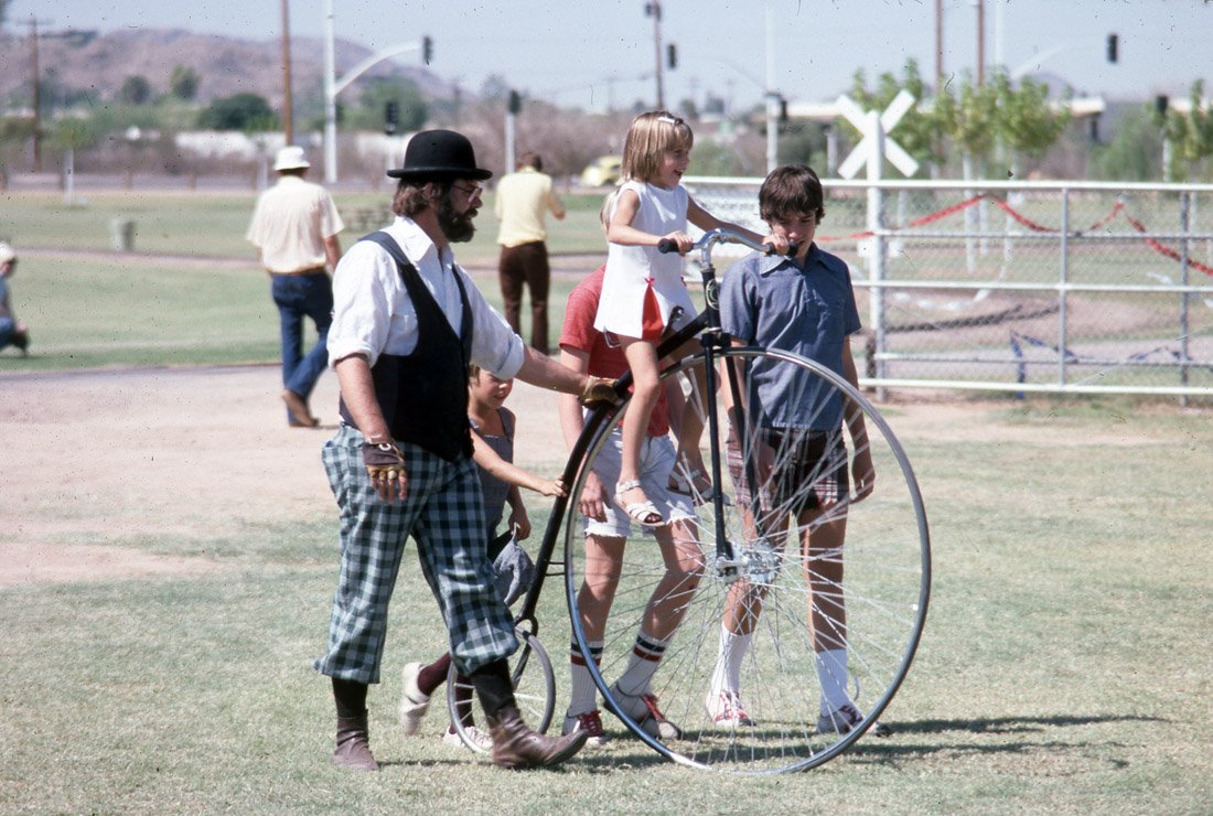
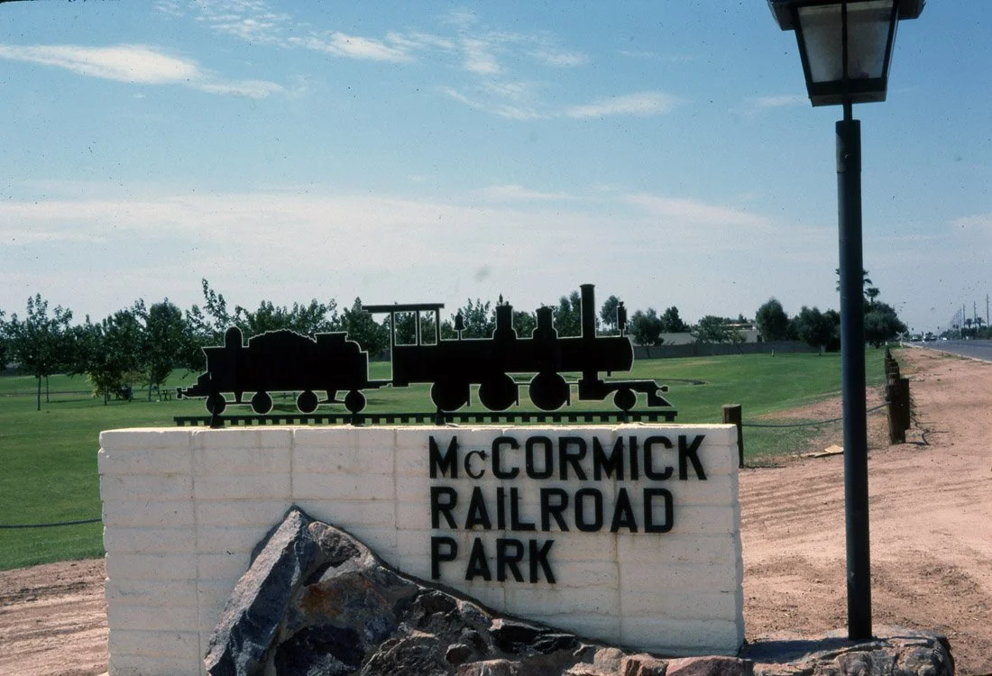
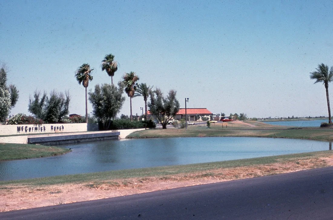
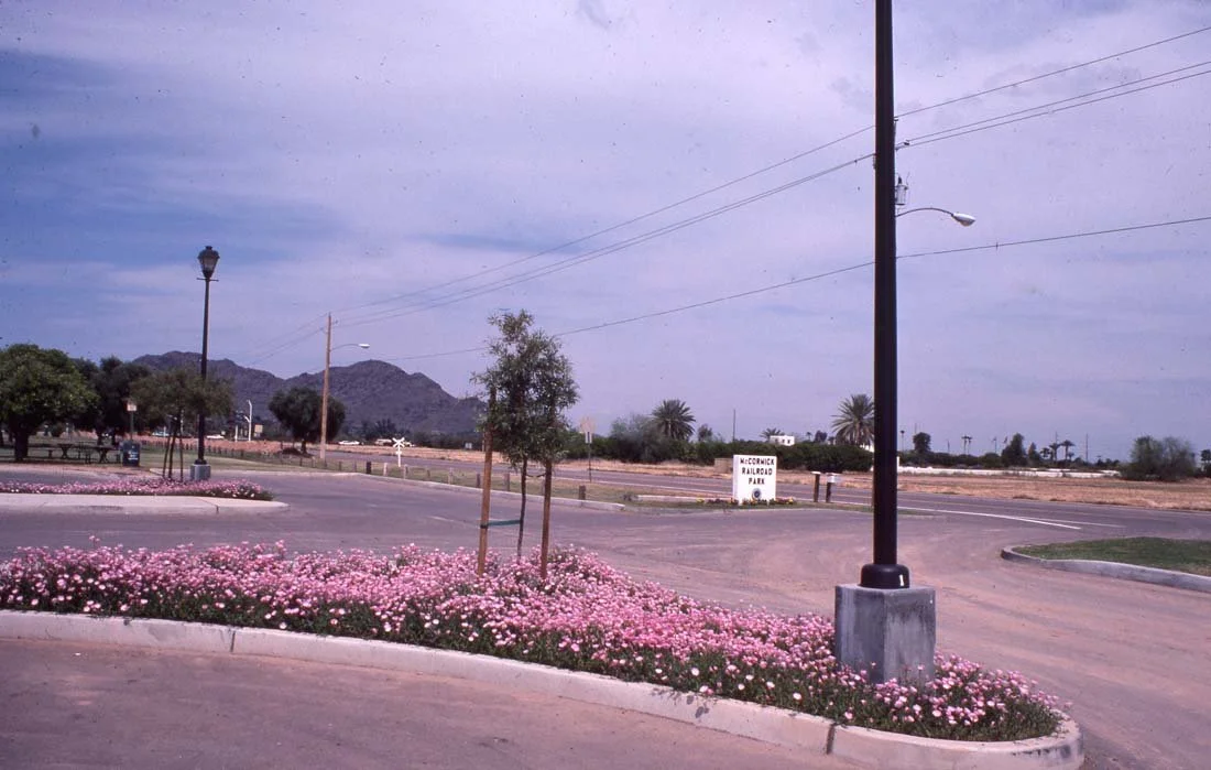
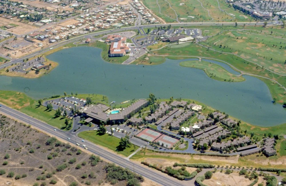
🌿 What You'll See: ✅ Beautiful open green spaces & tree-lined trails 🌳 ✅ Peaceful lakes with ducks & local wildlife 🦆 ✅ Scenic bridges & shaded picnic areas ☀️ ✅ Smooth paved paths perfect for biking 🚴 ✅ Popular spots like Eldorado Park, Chaparral Park & McCormick Ranch 🏞️
🎵 Enjoy the calming background music as you immerse yourself in one of Scottsdale's most beautiful urban oases. Whether you're planning a ride or just looking for a relaxing virtual escape, this video is the perfect way to unwind.
📍 Route Details: 📌 Start: McKellips Road 🚴 📌 End: McDonald Drive 🚴 📏 Distance: Approx. 9 miles 📈 Elevation: 1,161 ft to 1,289 ft
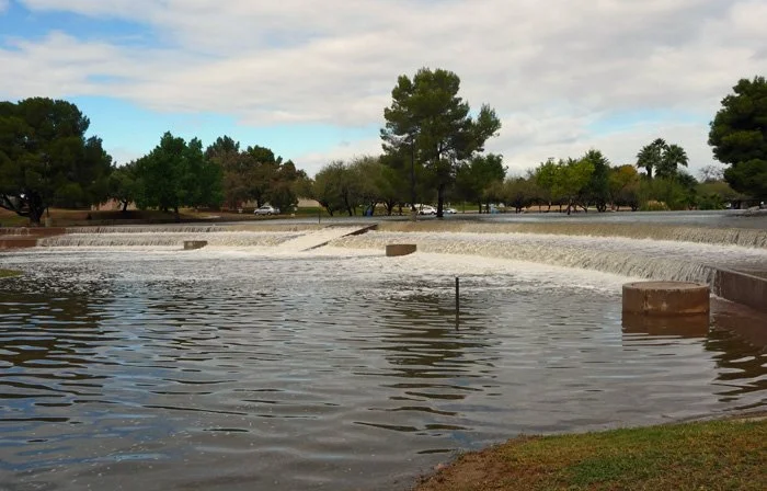
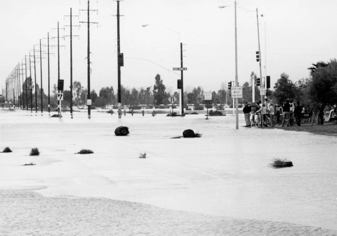
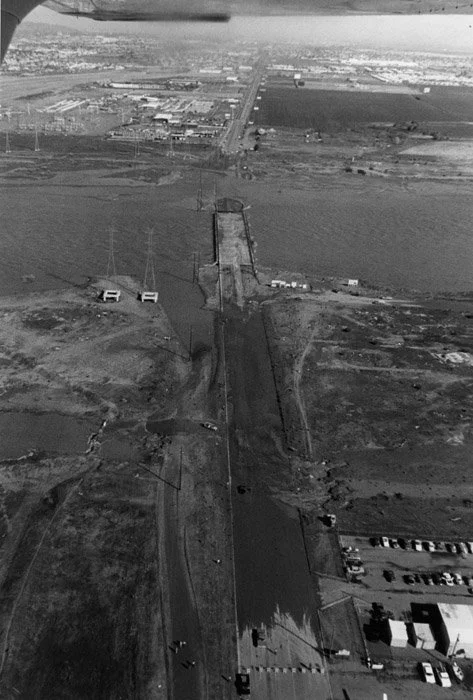
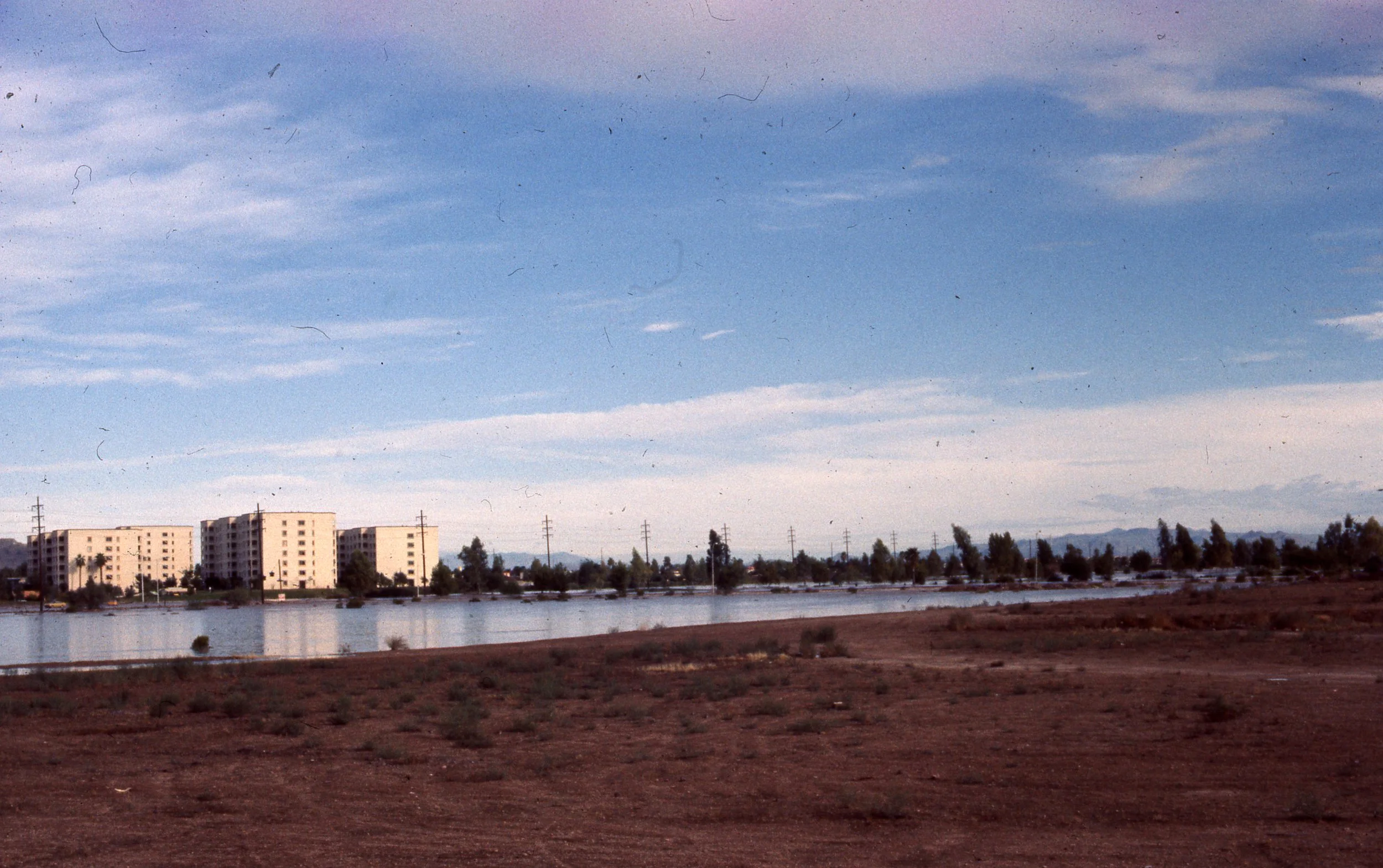
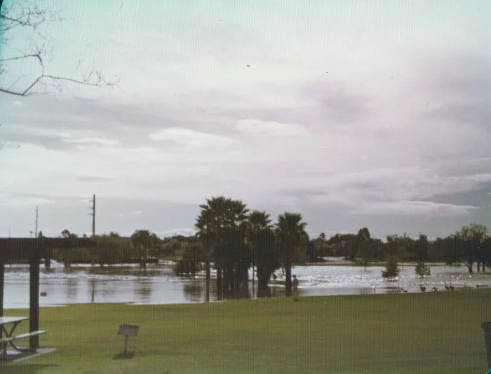
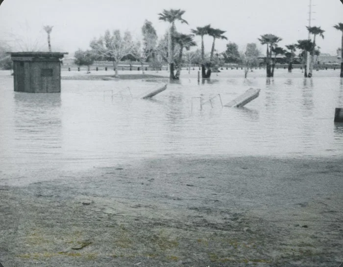
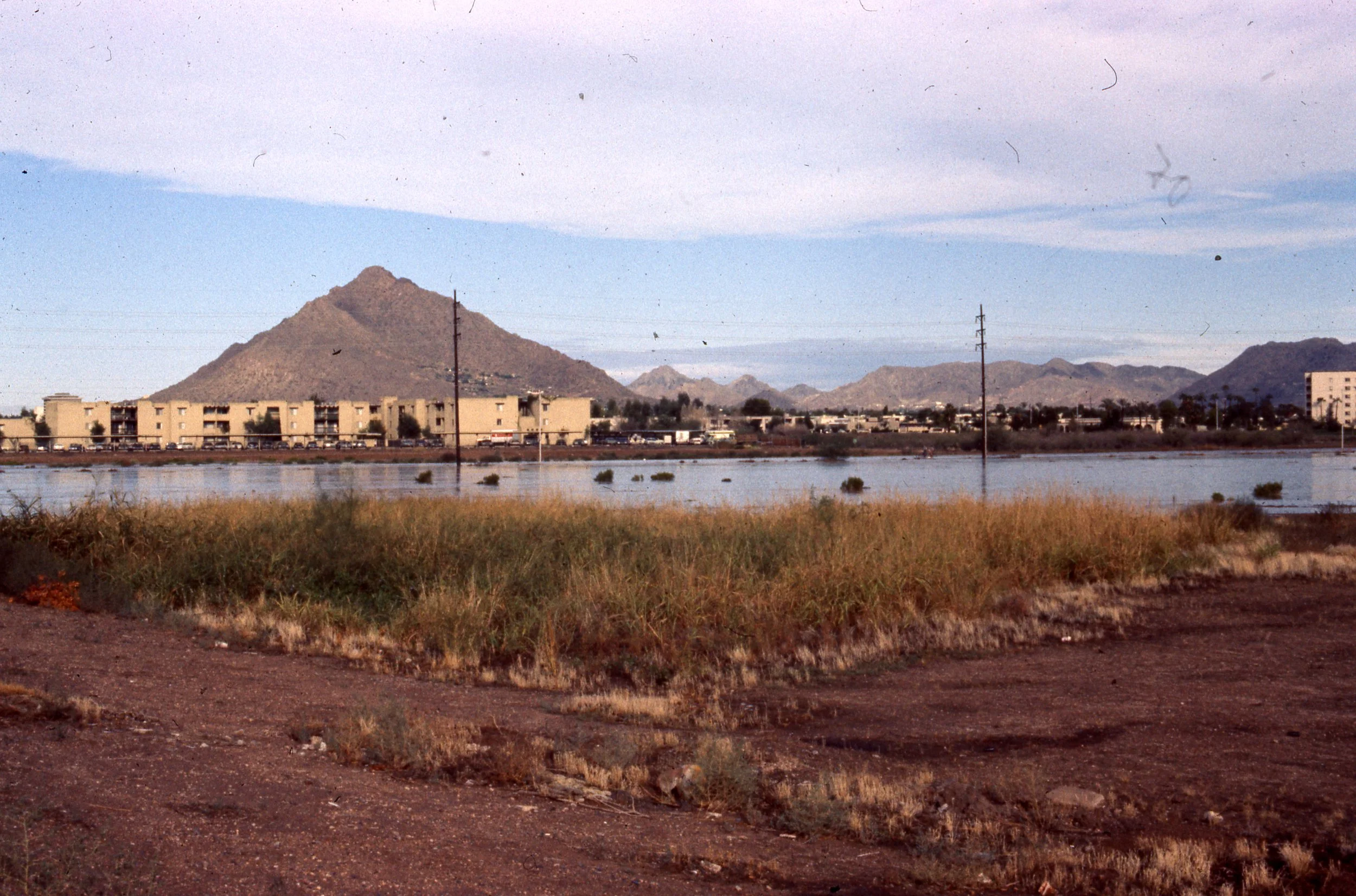
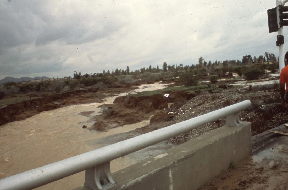
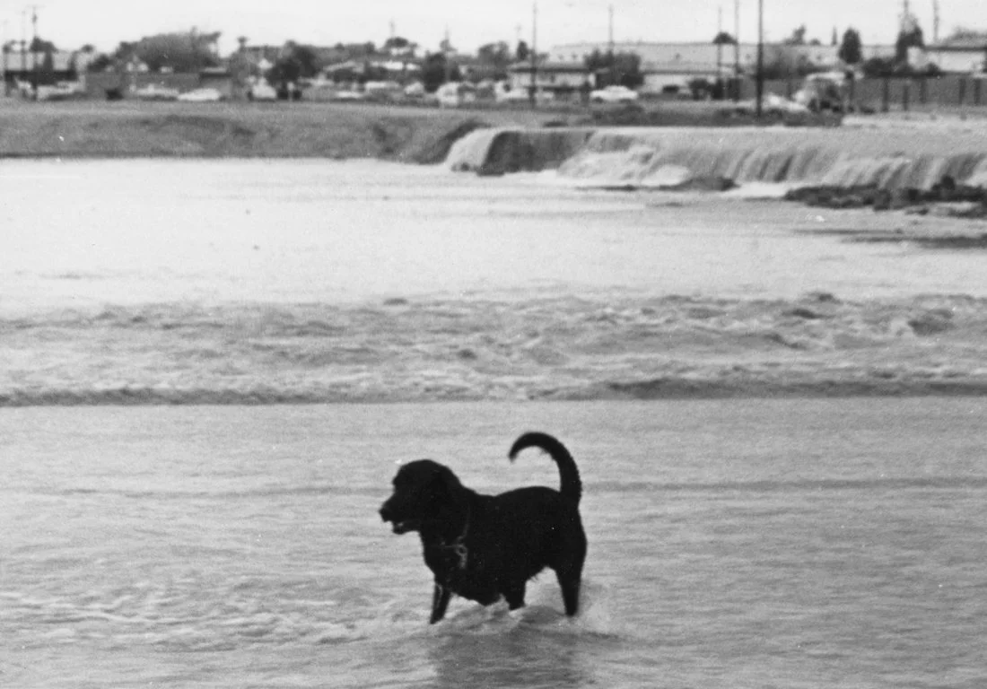
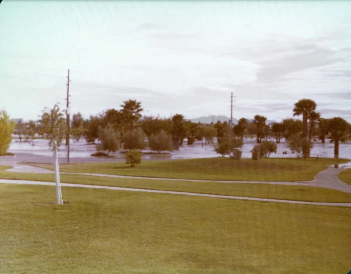
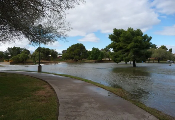
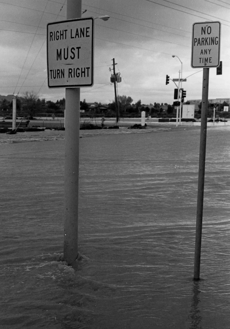
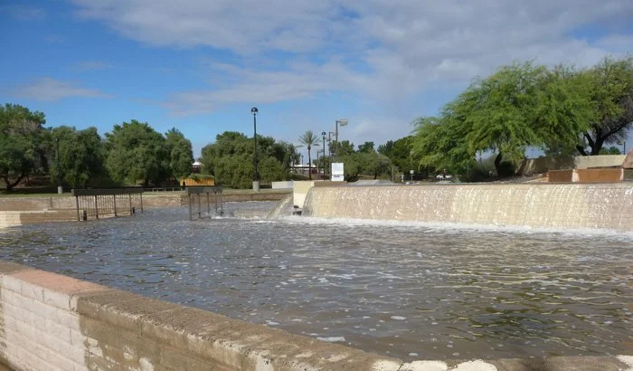
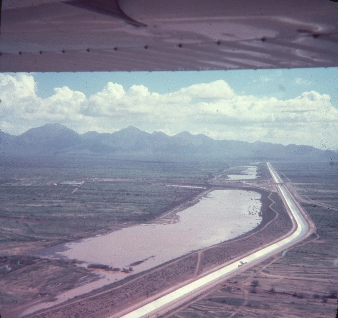
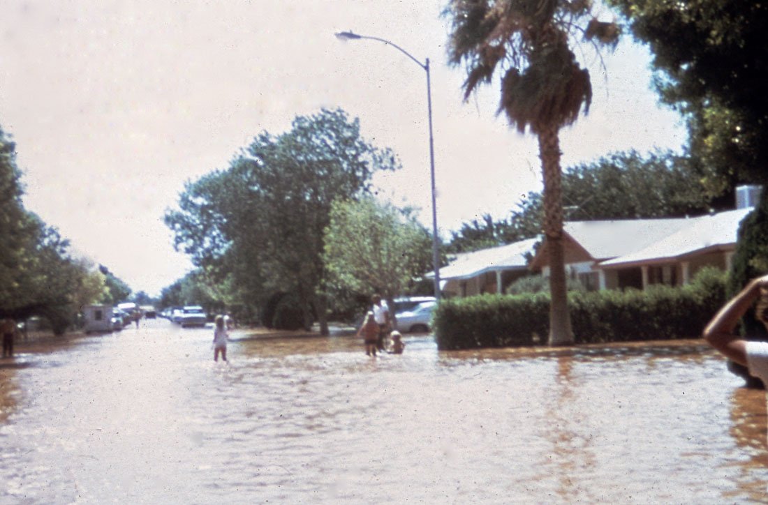
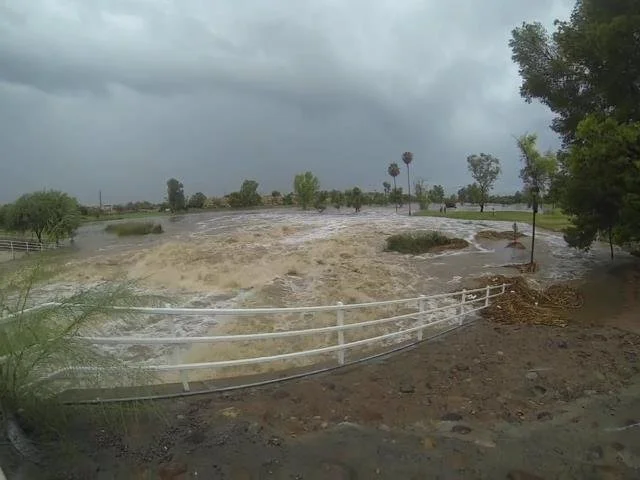
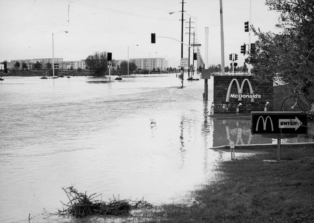
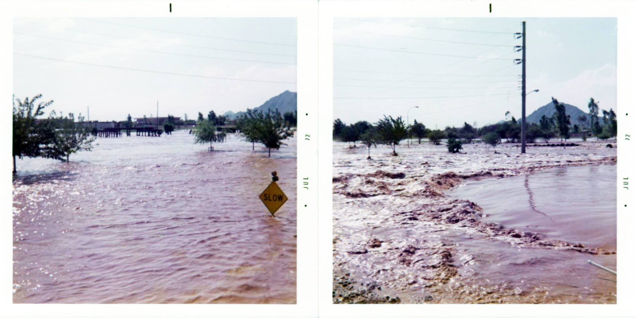
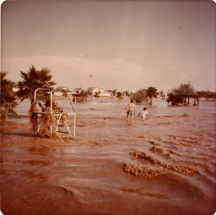
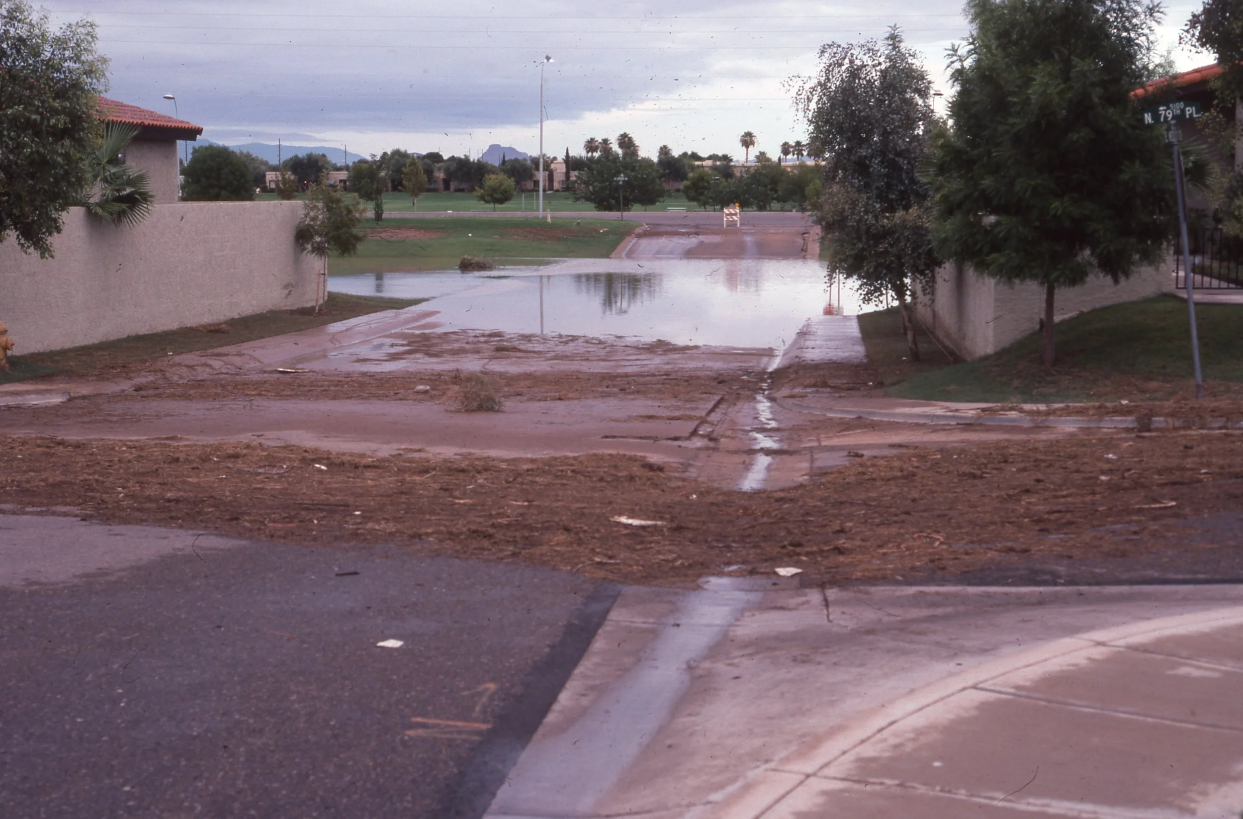
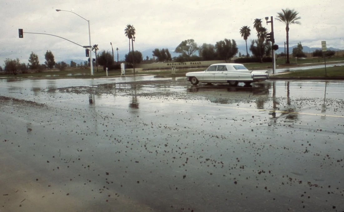
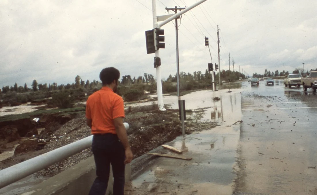
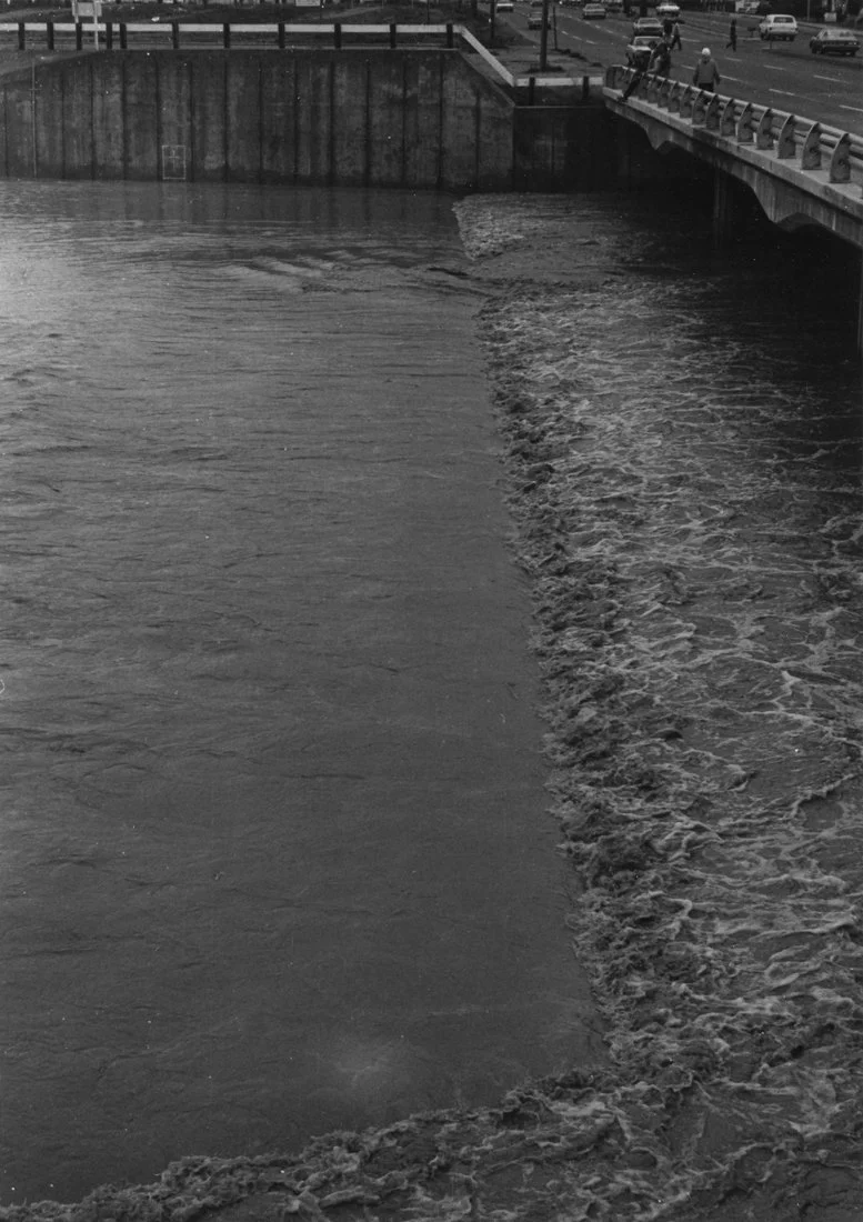
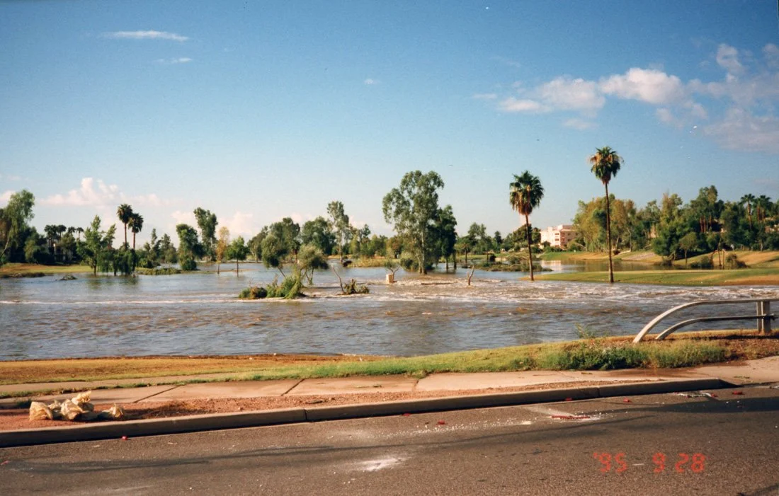
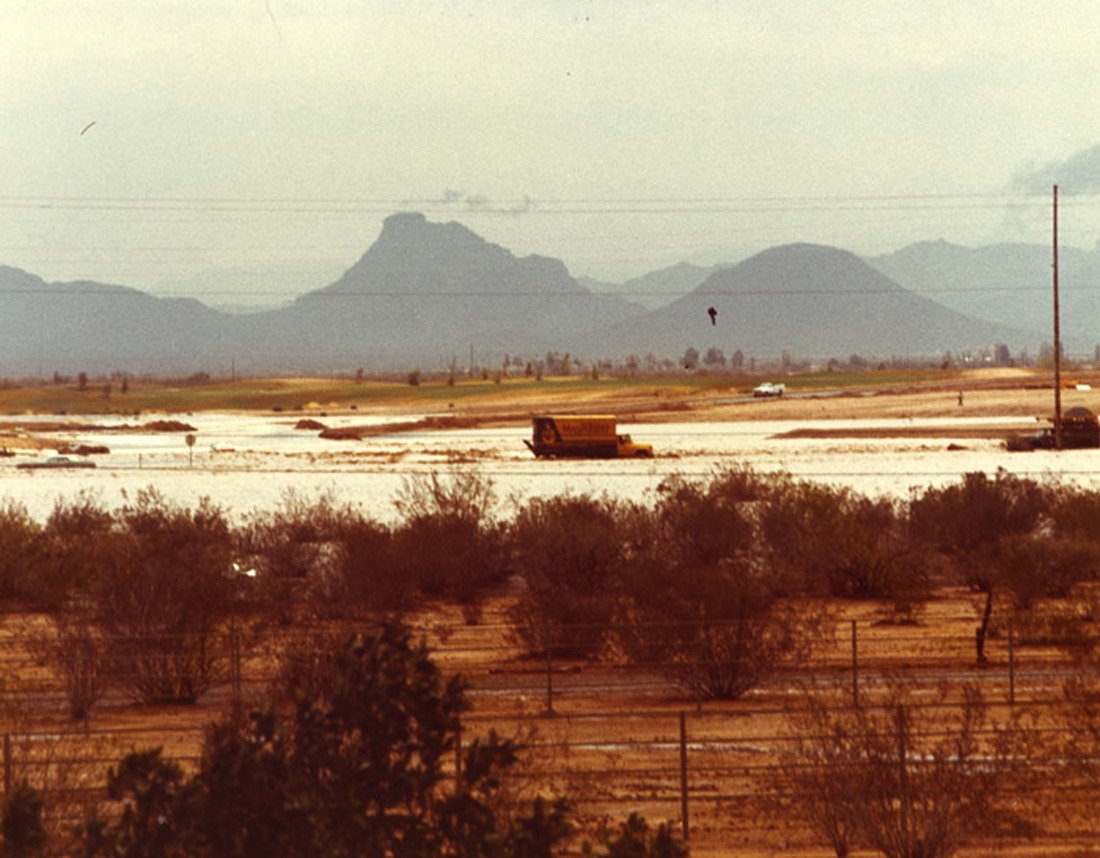
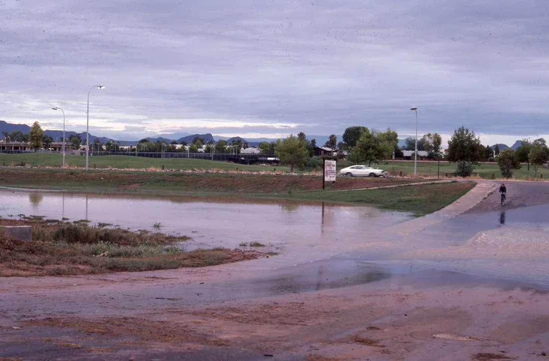
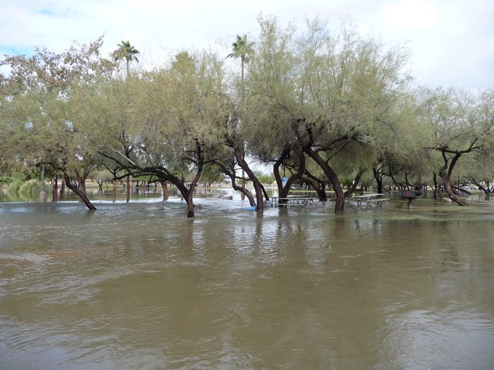
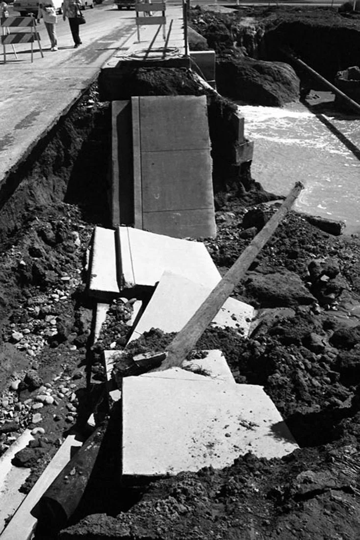
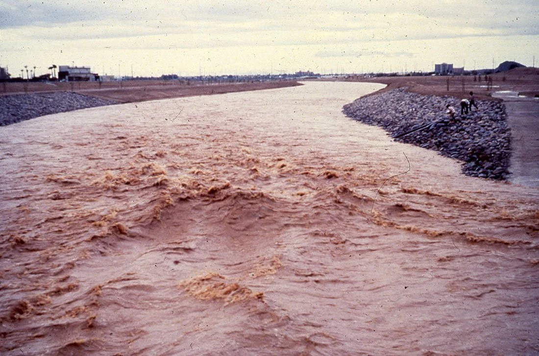
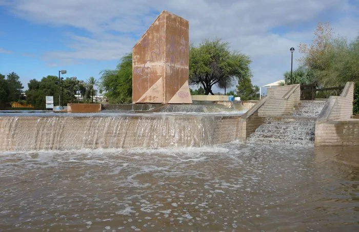
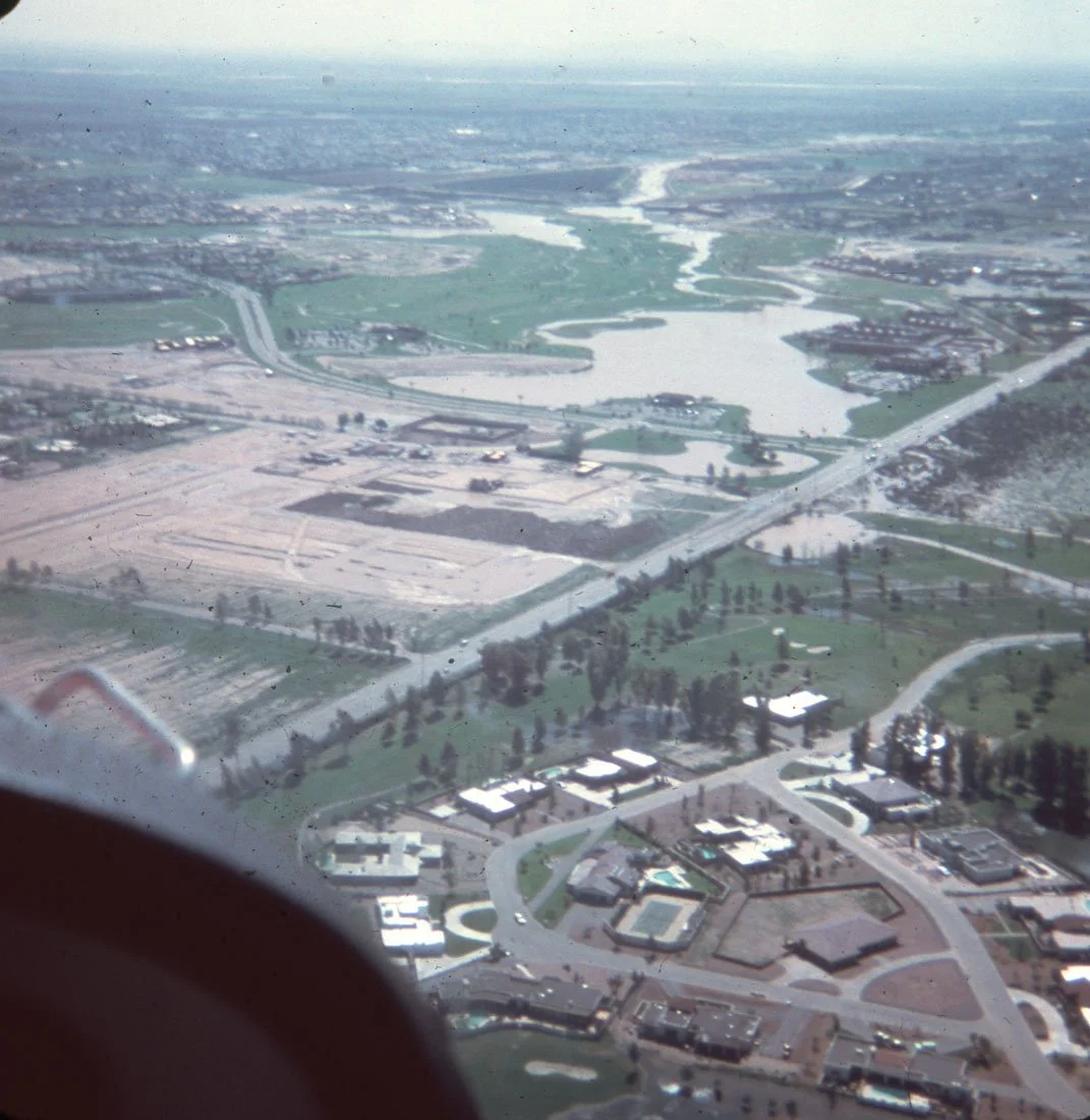
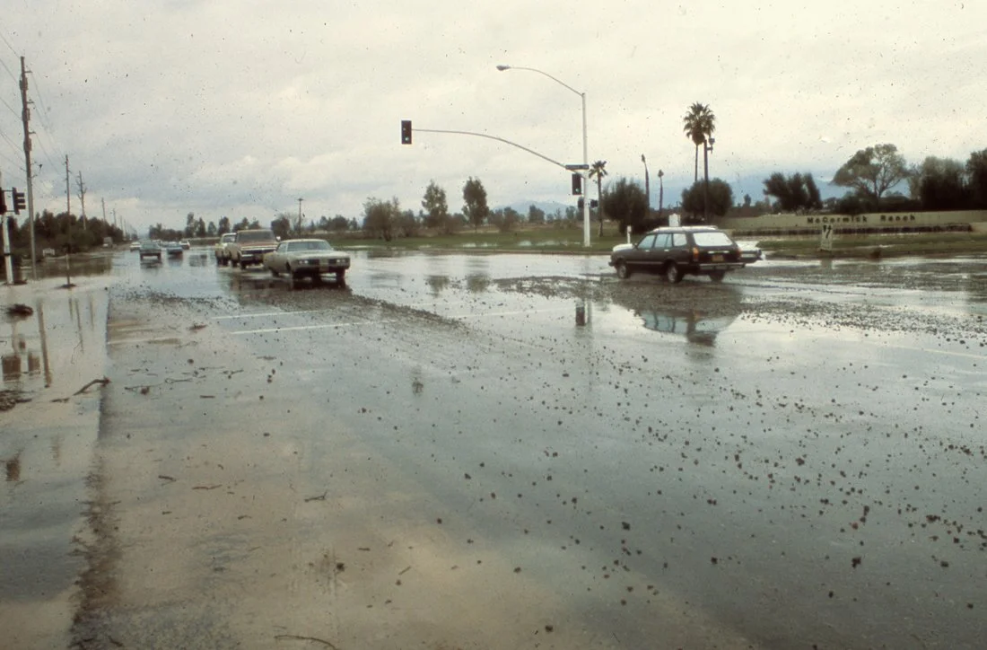
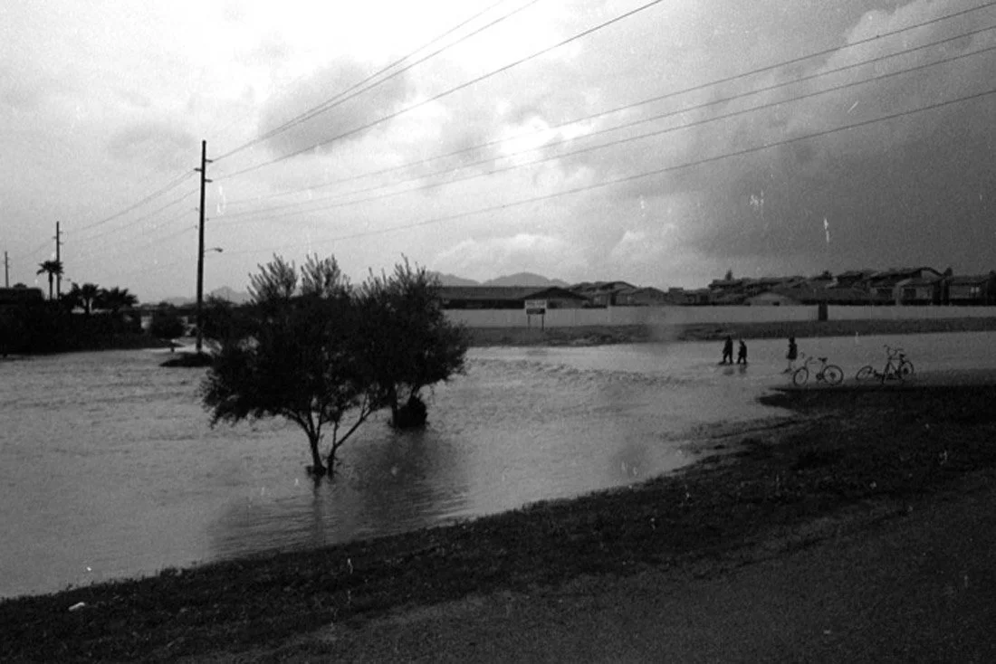
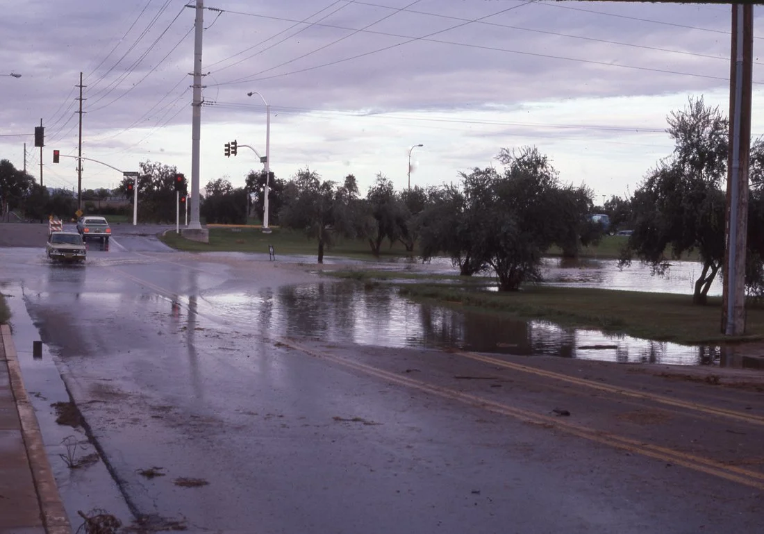
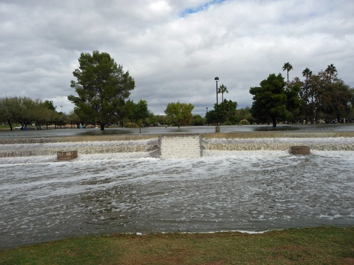
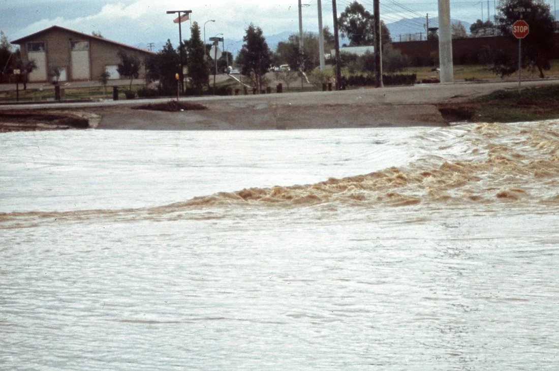
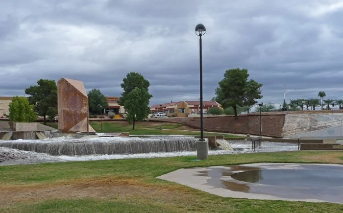
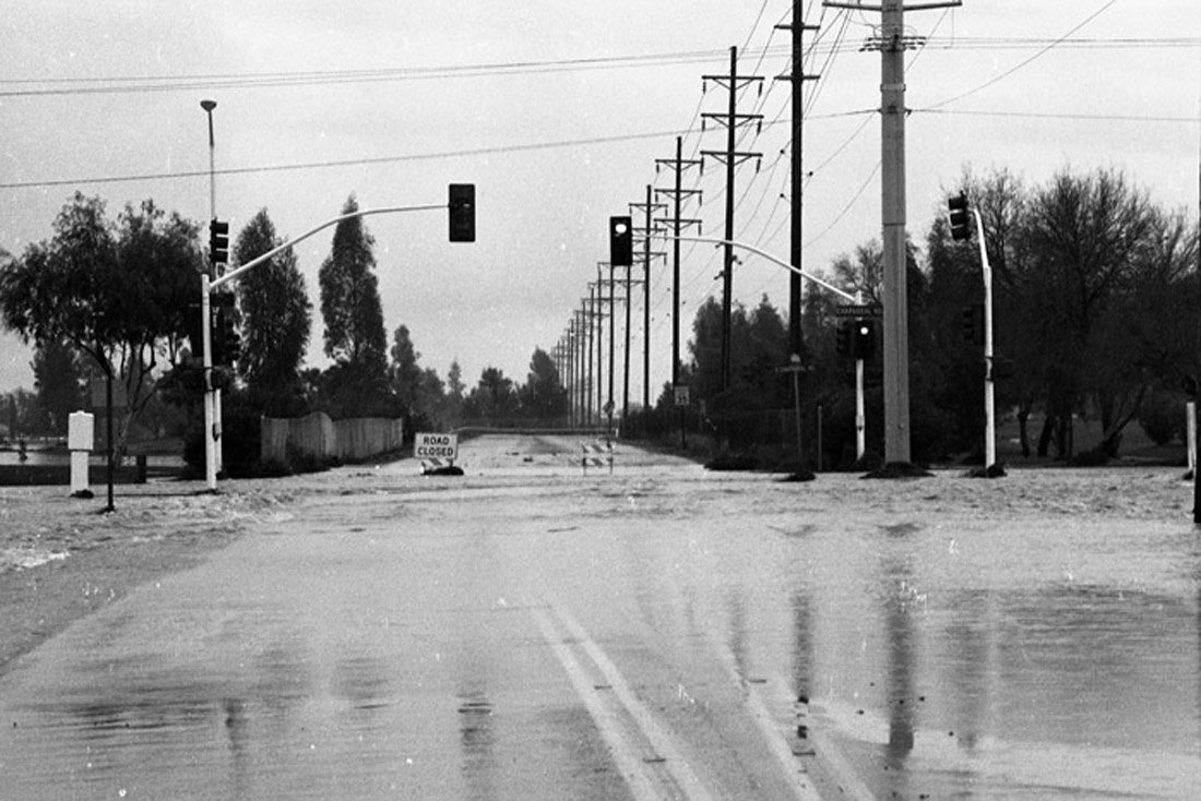
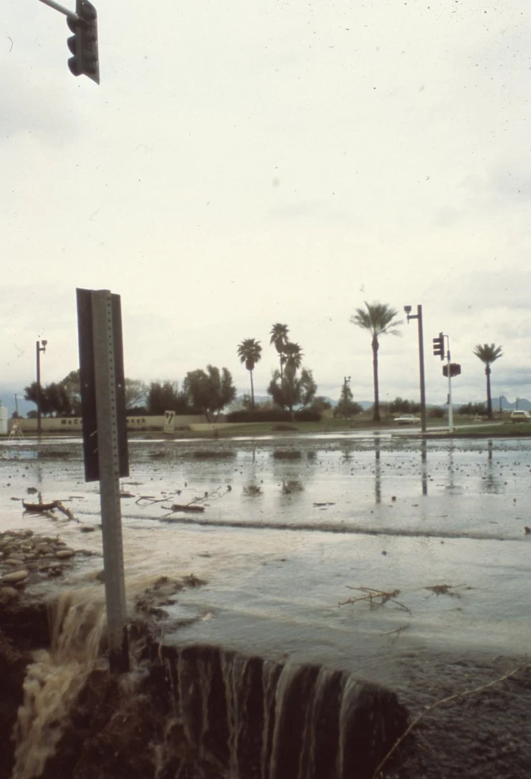
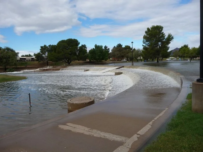
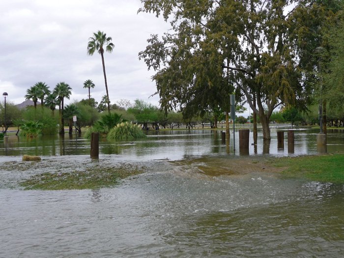
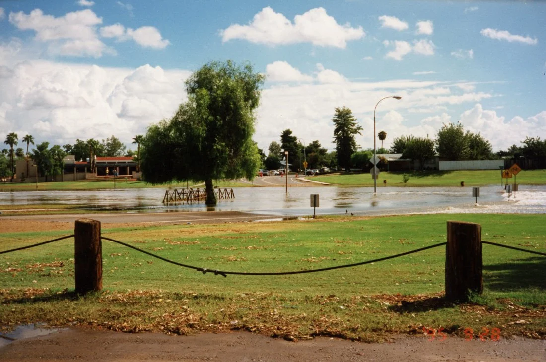
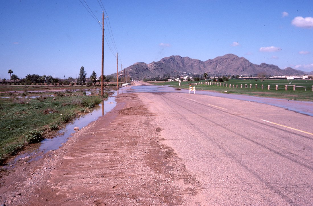
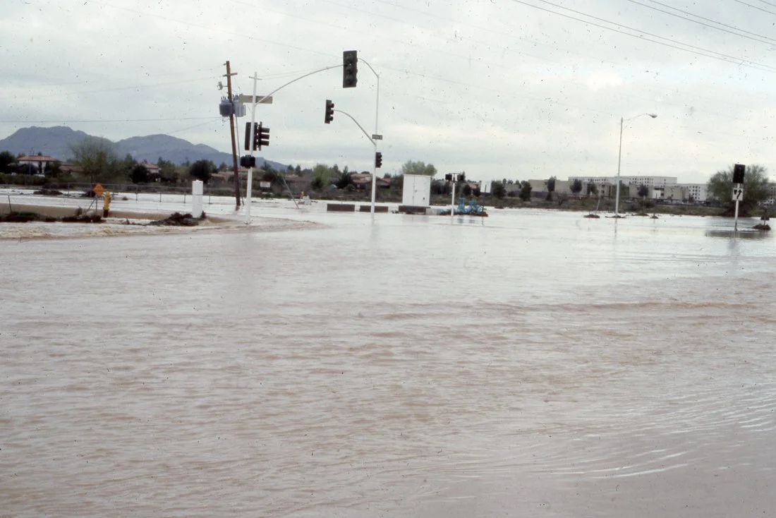
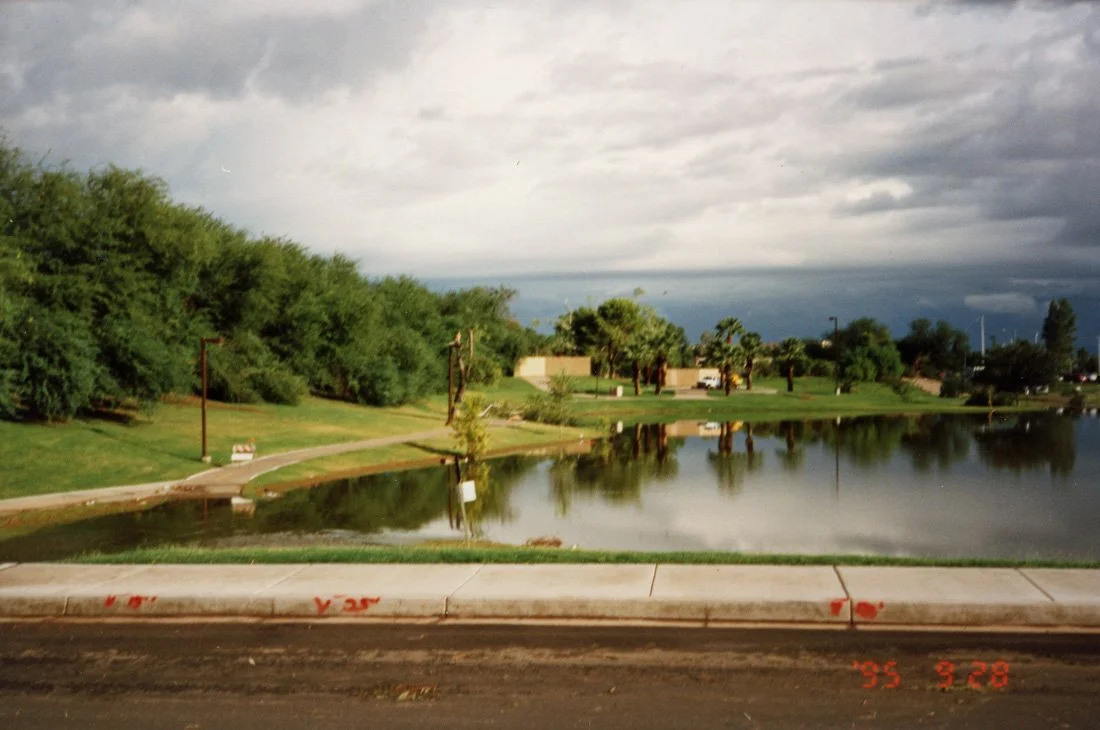
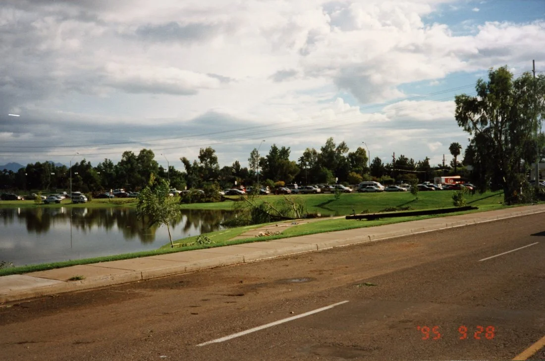
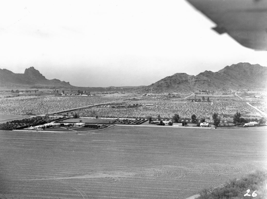
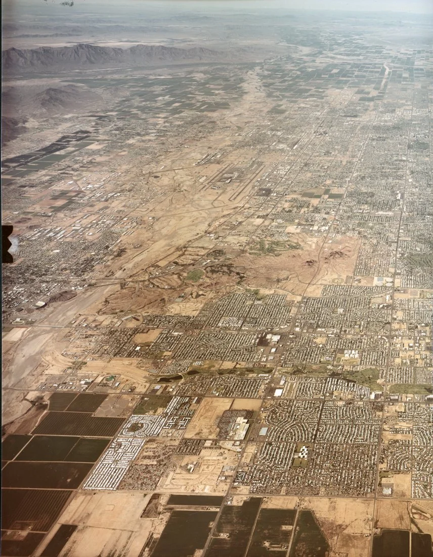
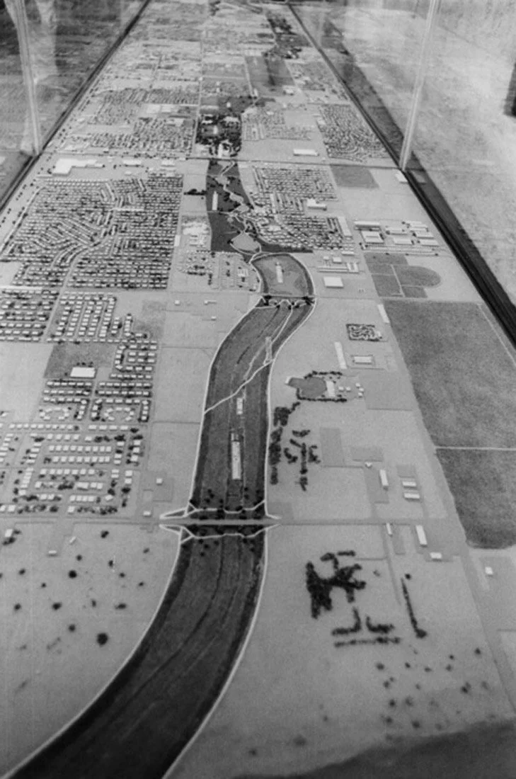
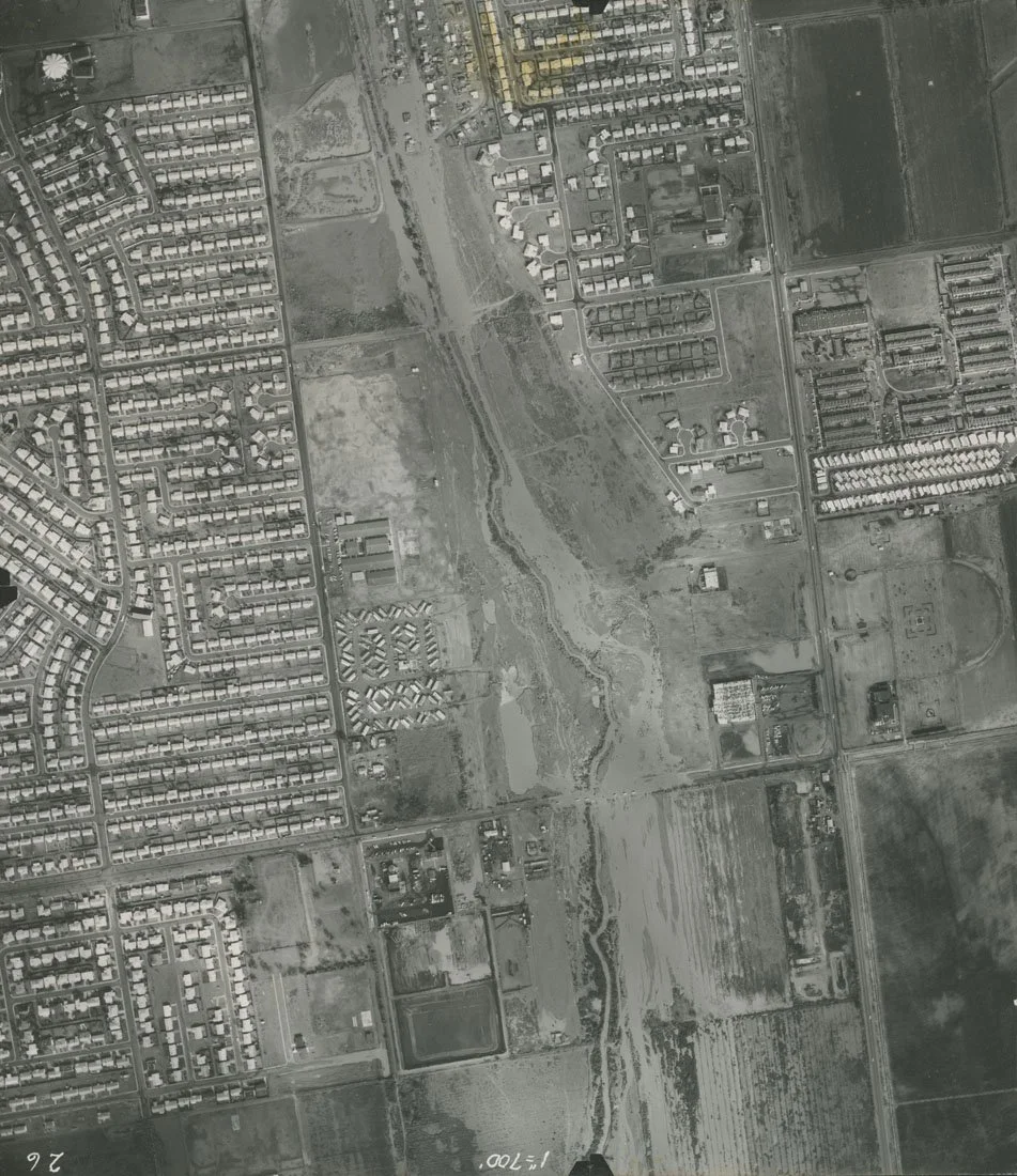
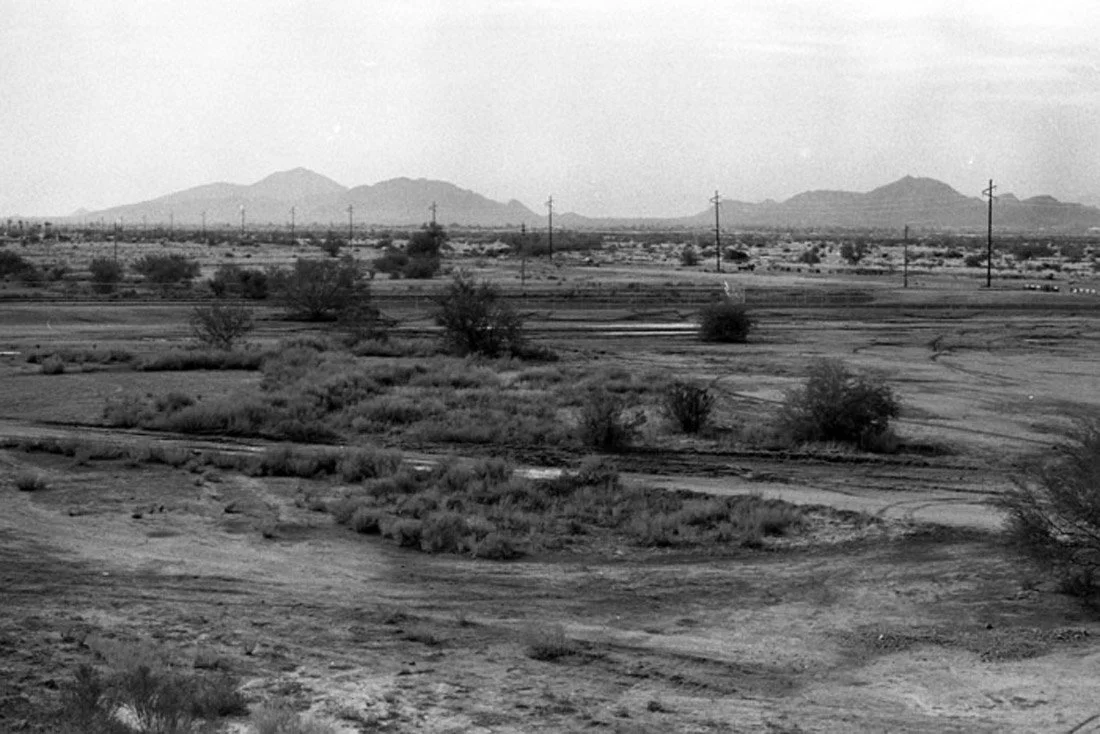
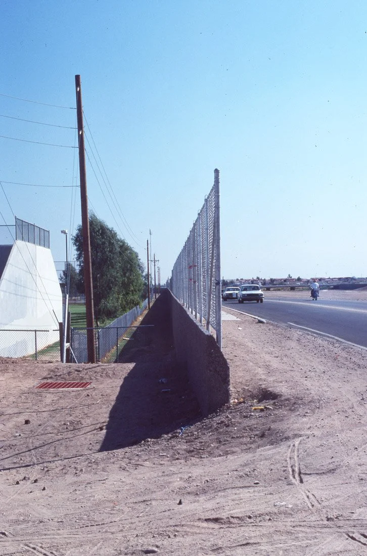
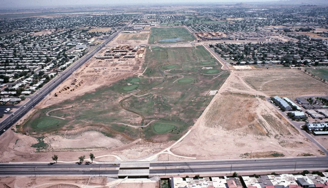
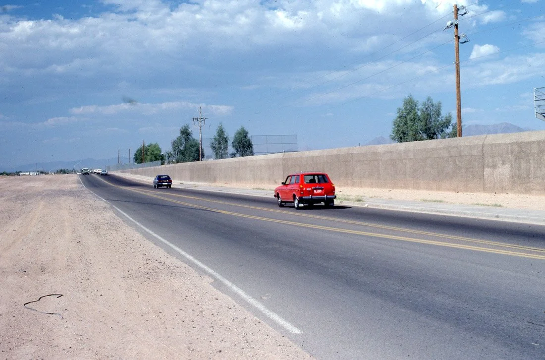
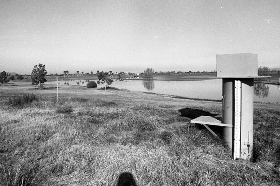
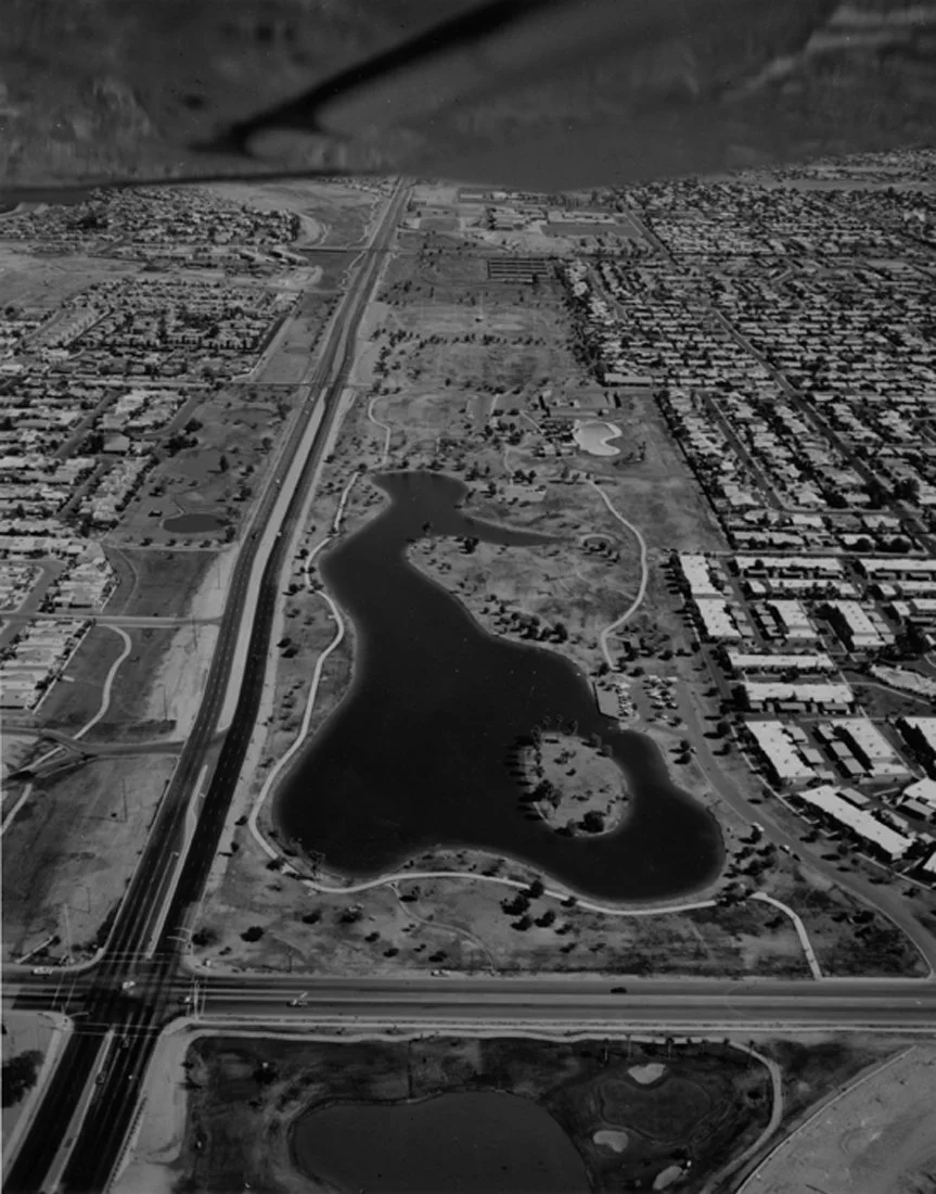
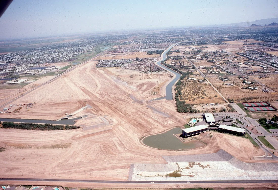
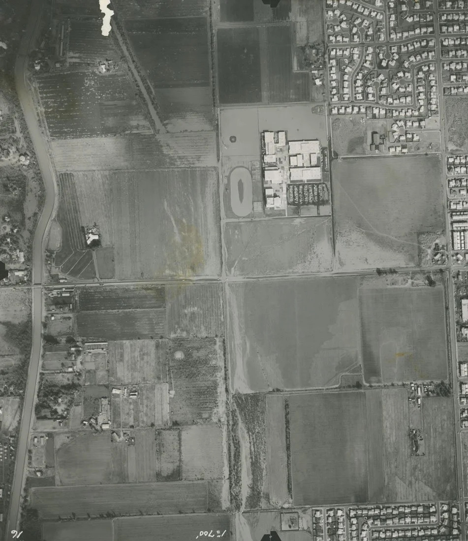
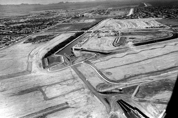
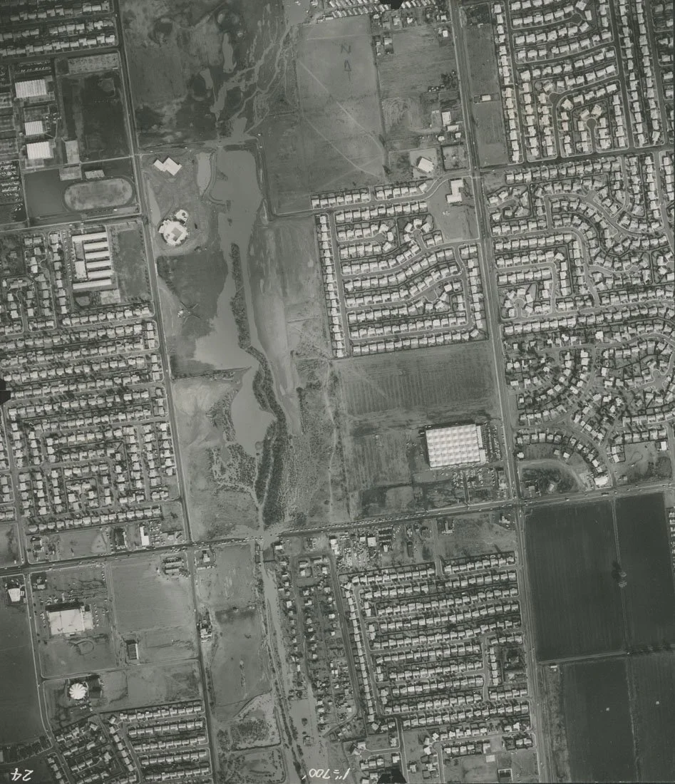
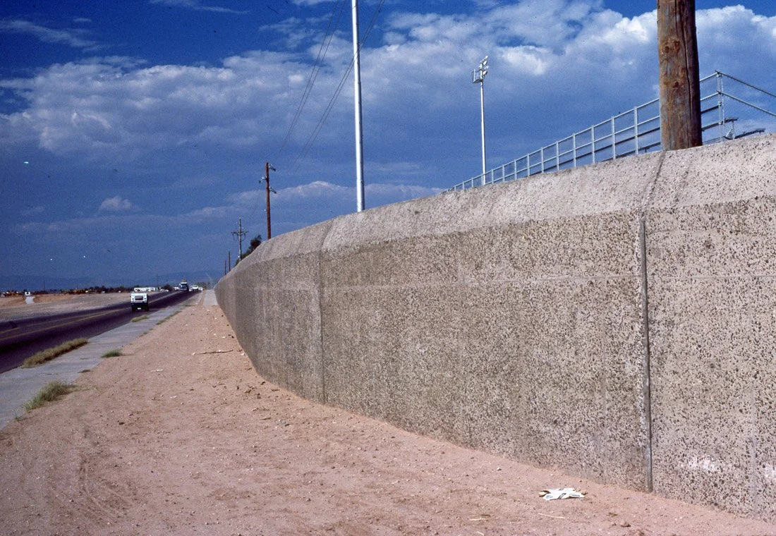
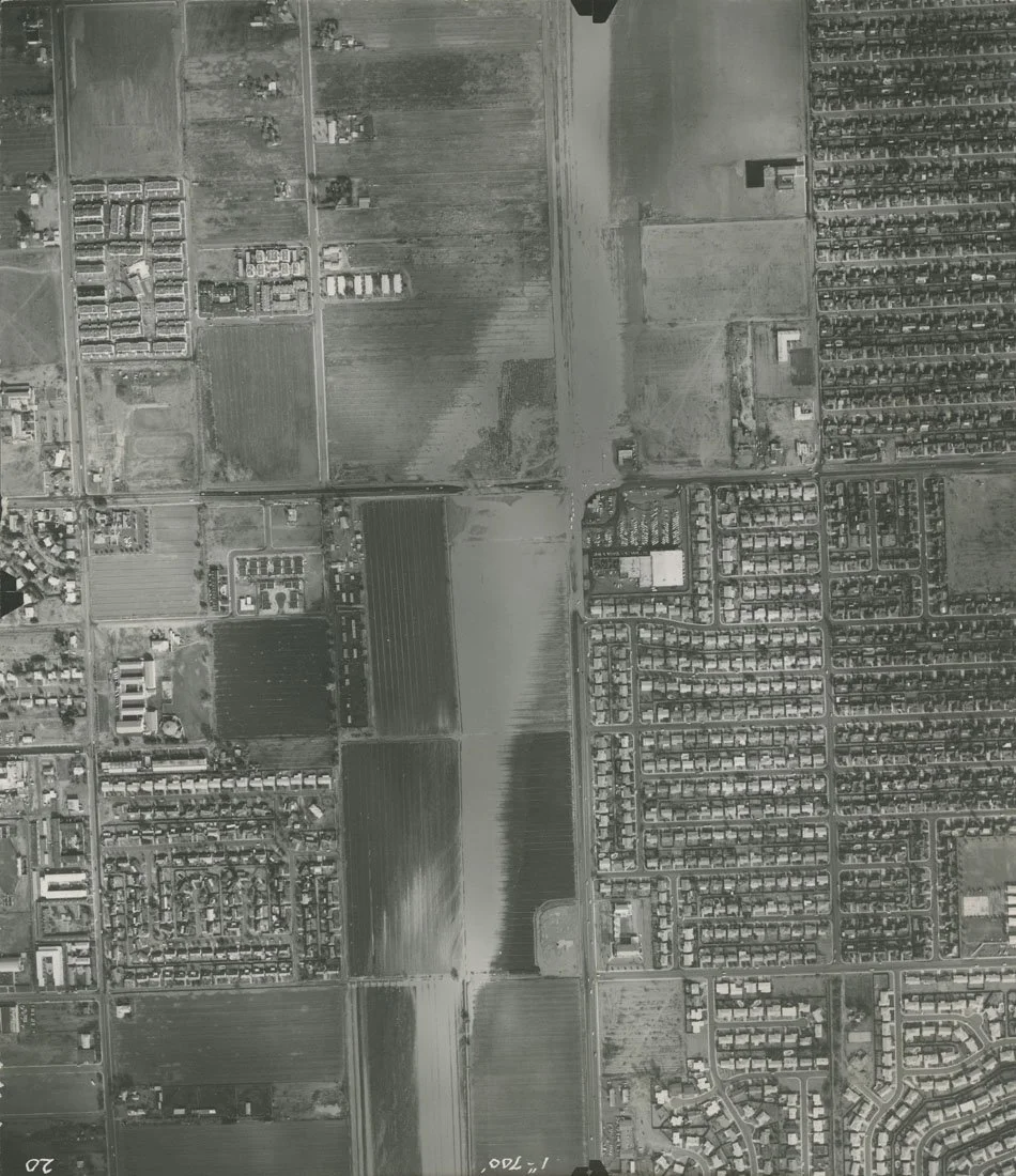
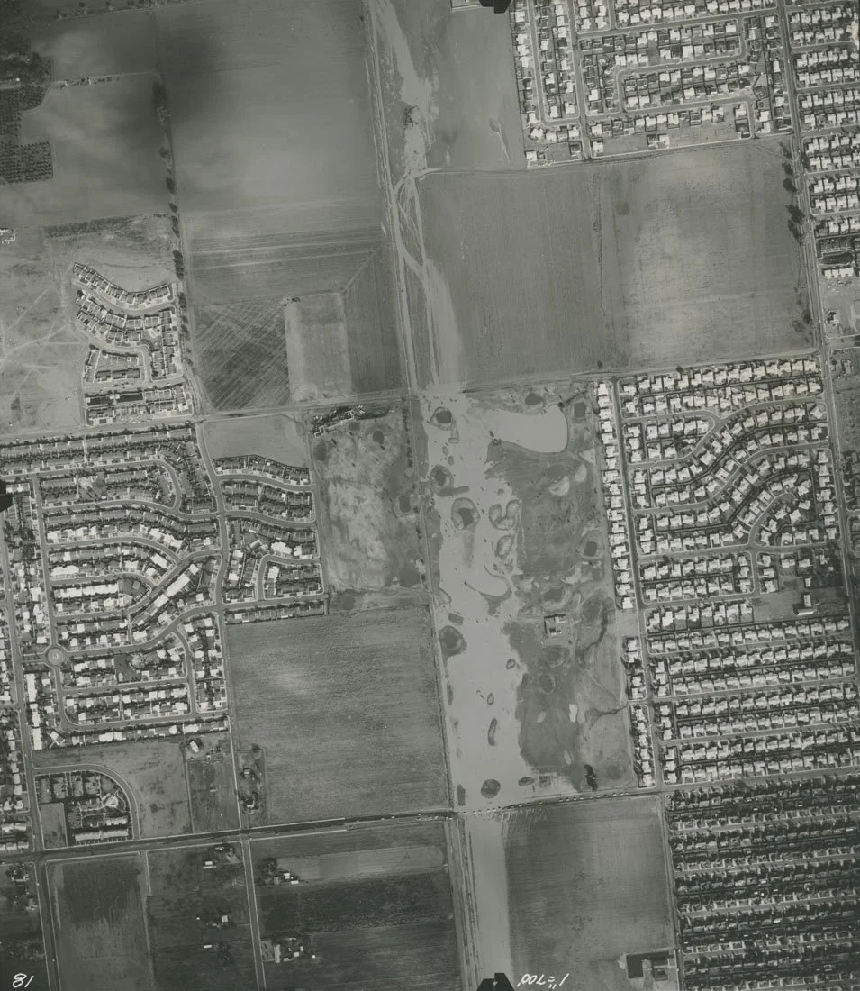
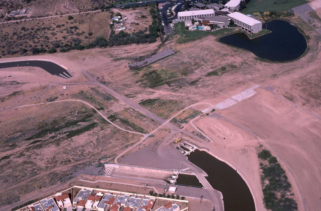
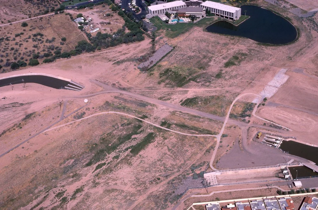
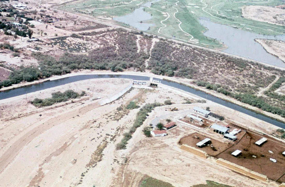
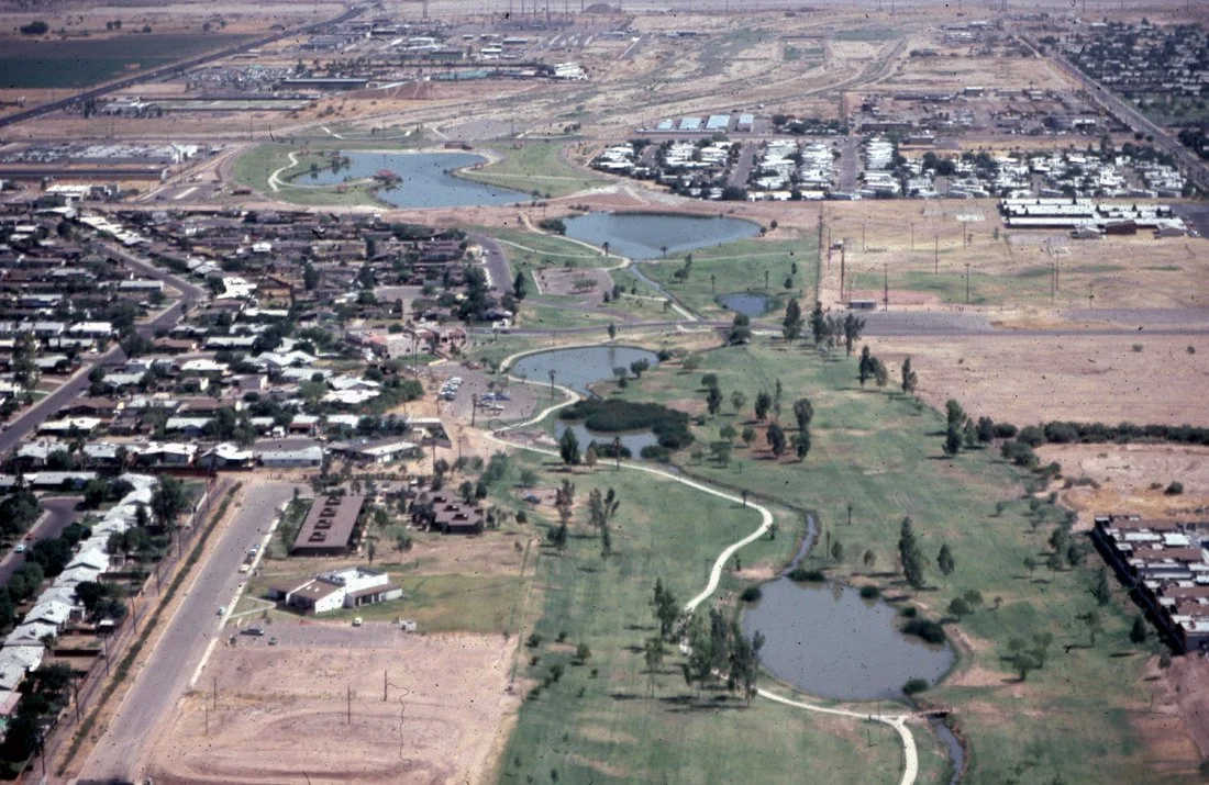
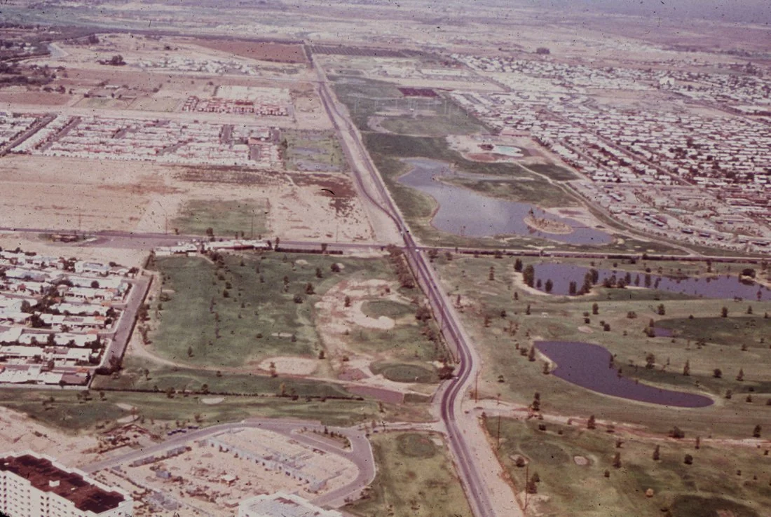
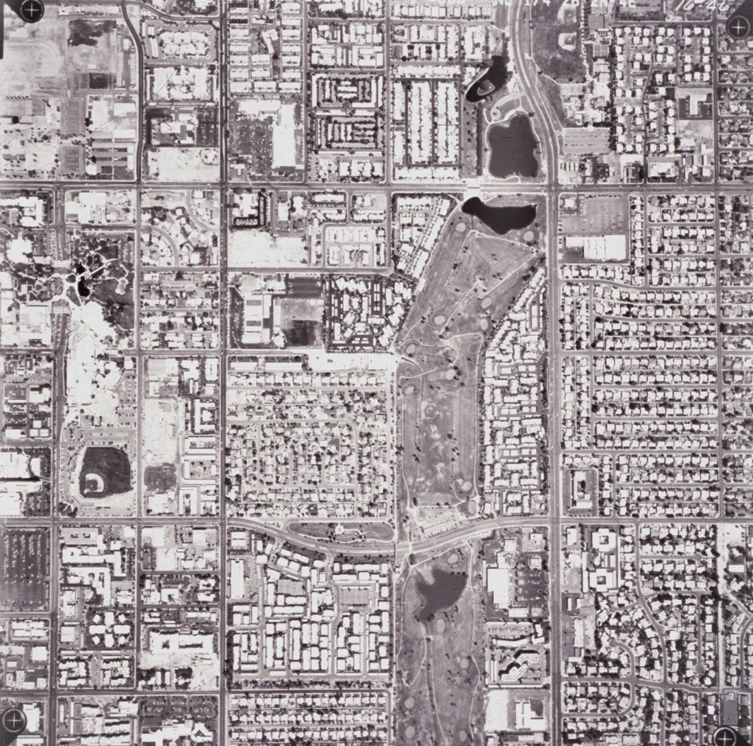
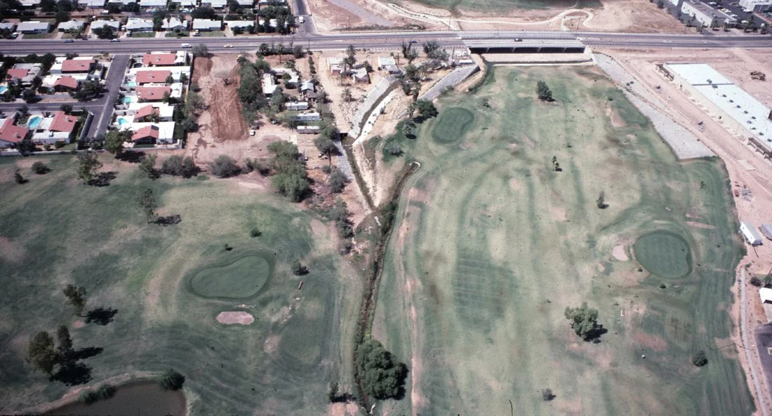
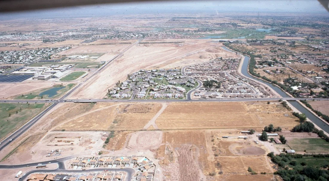
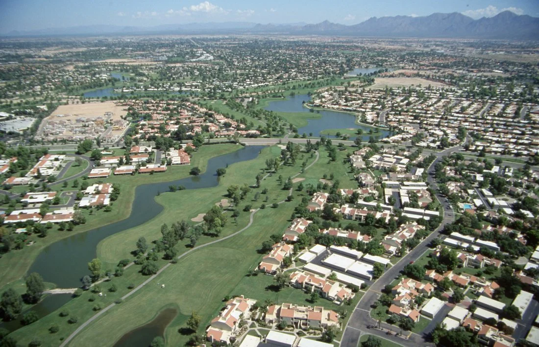
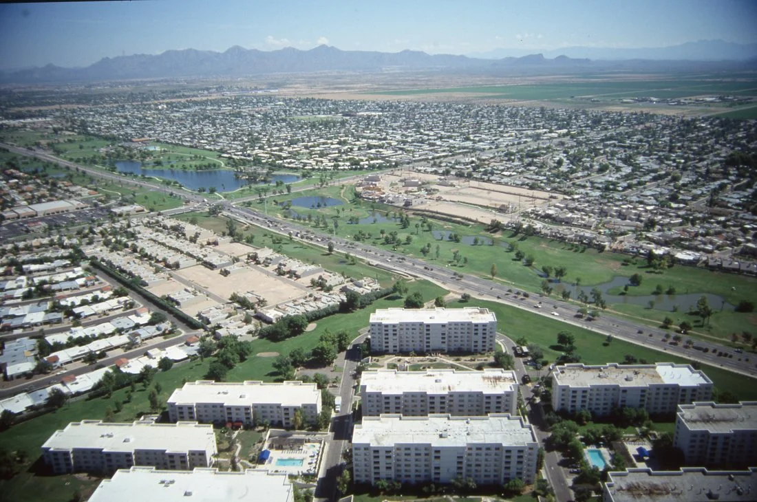
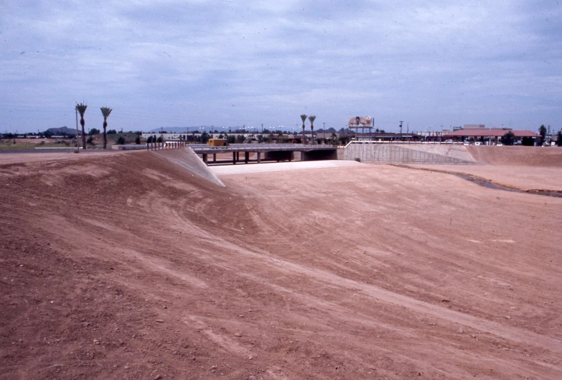
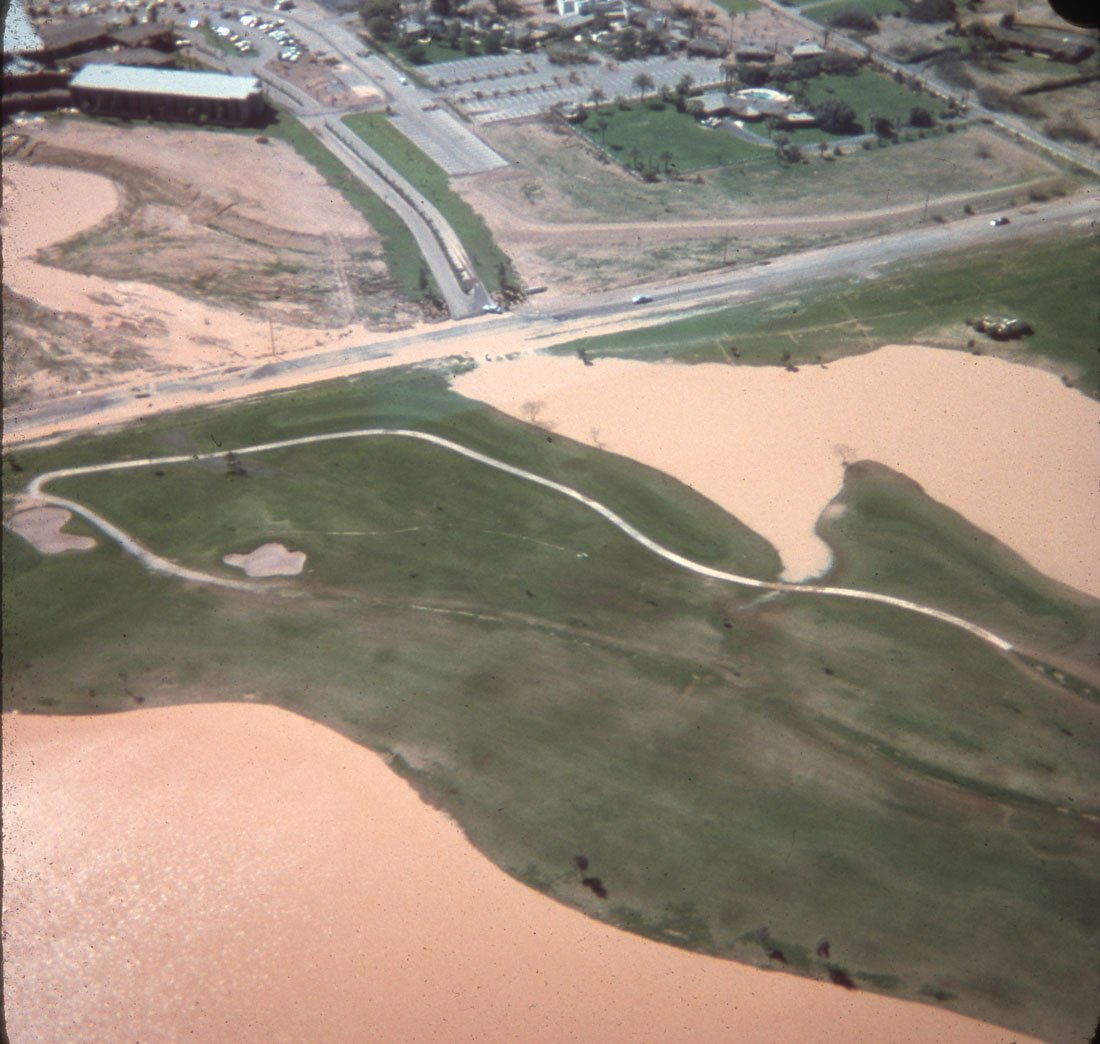
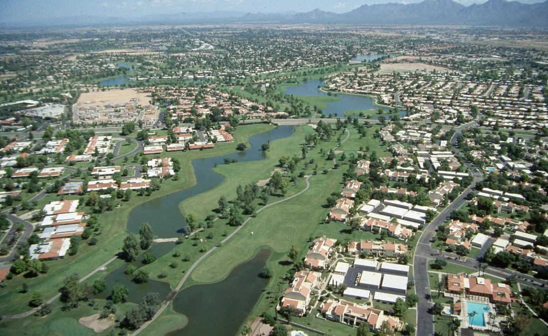
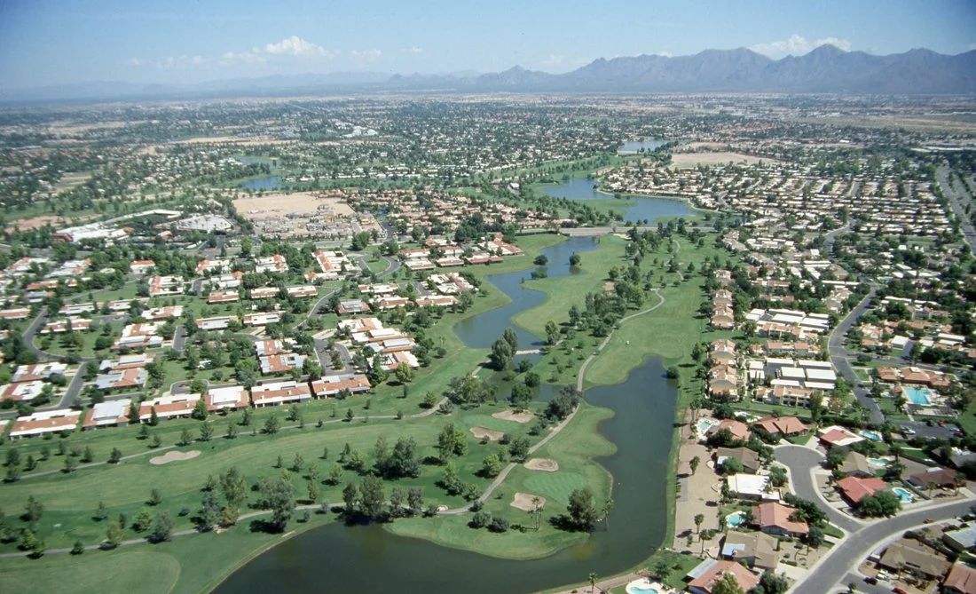
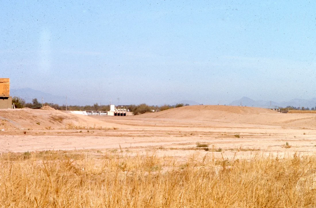
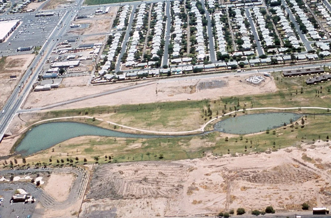
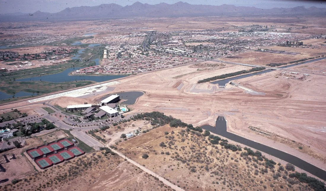
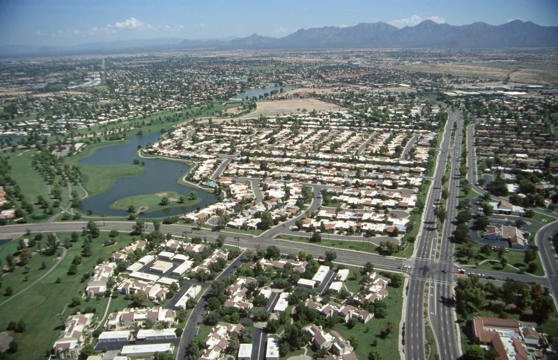
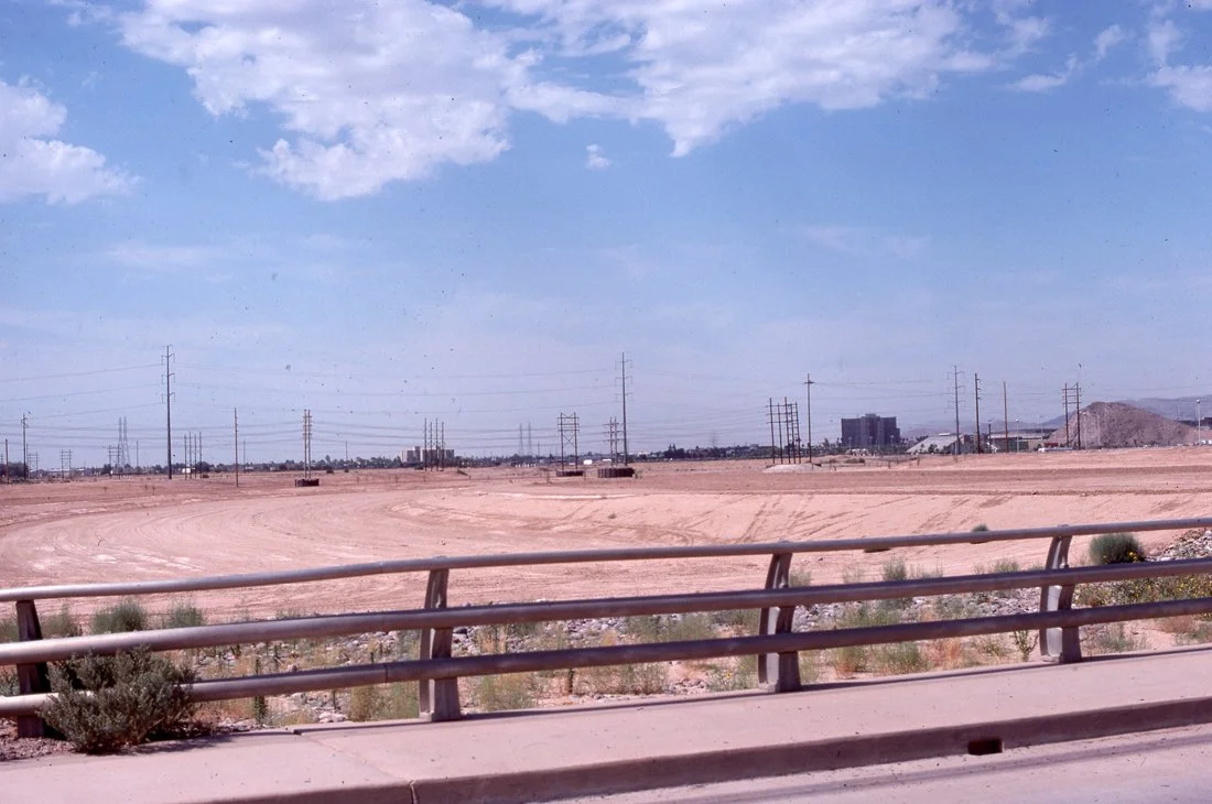
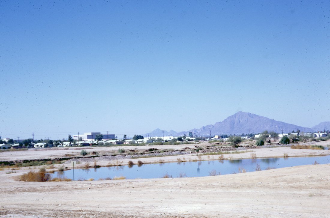
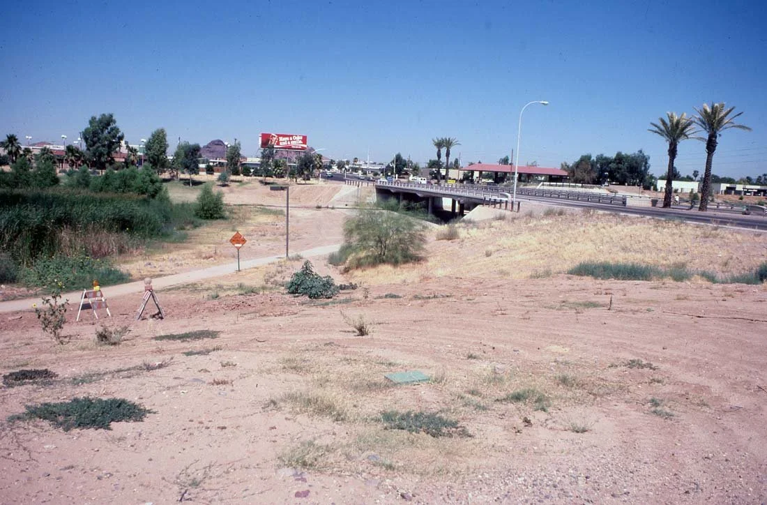
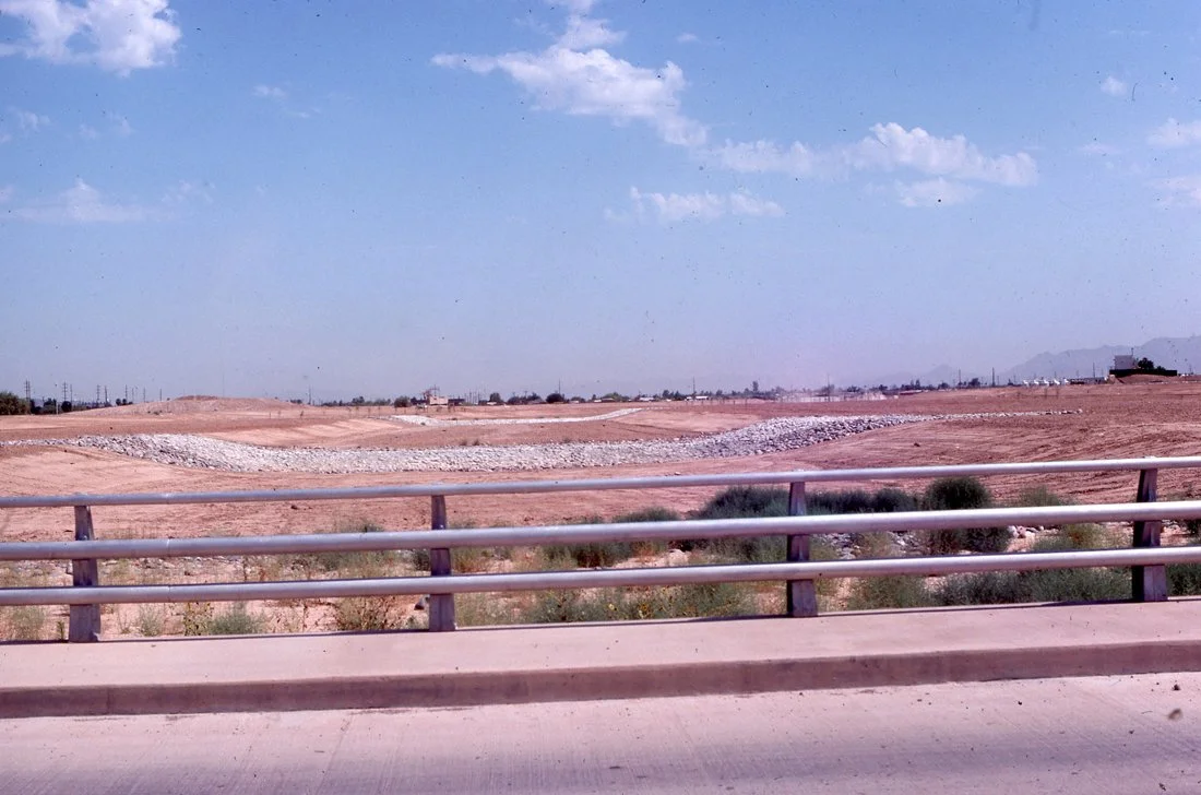
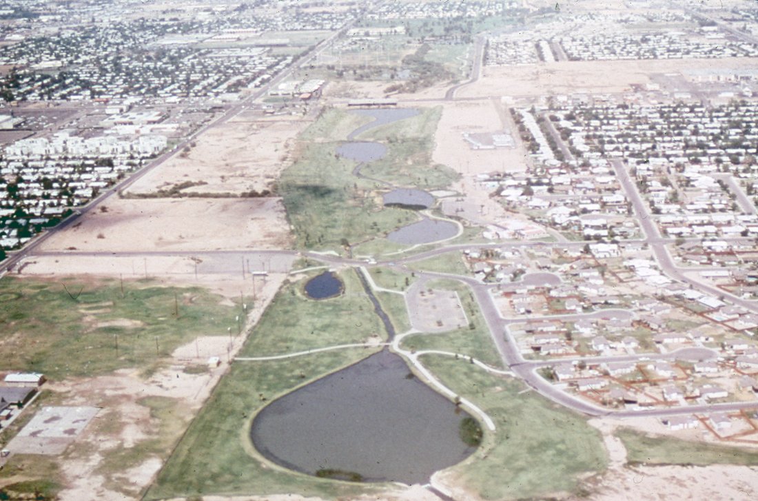
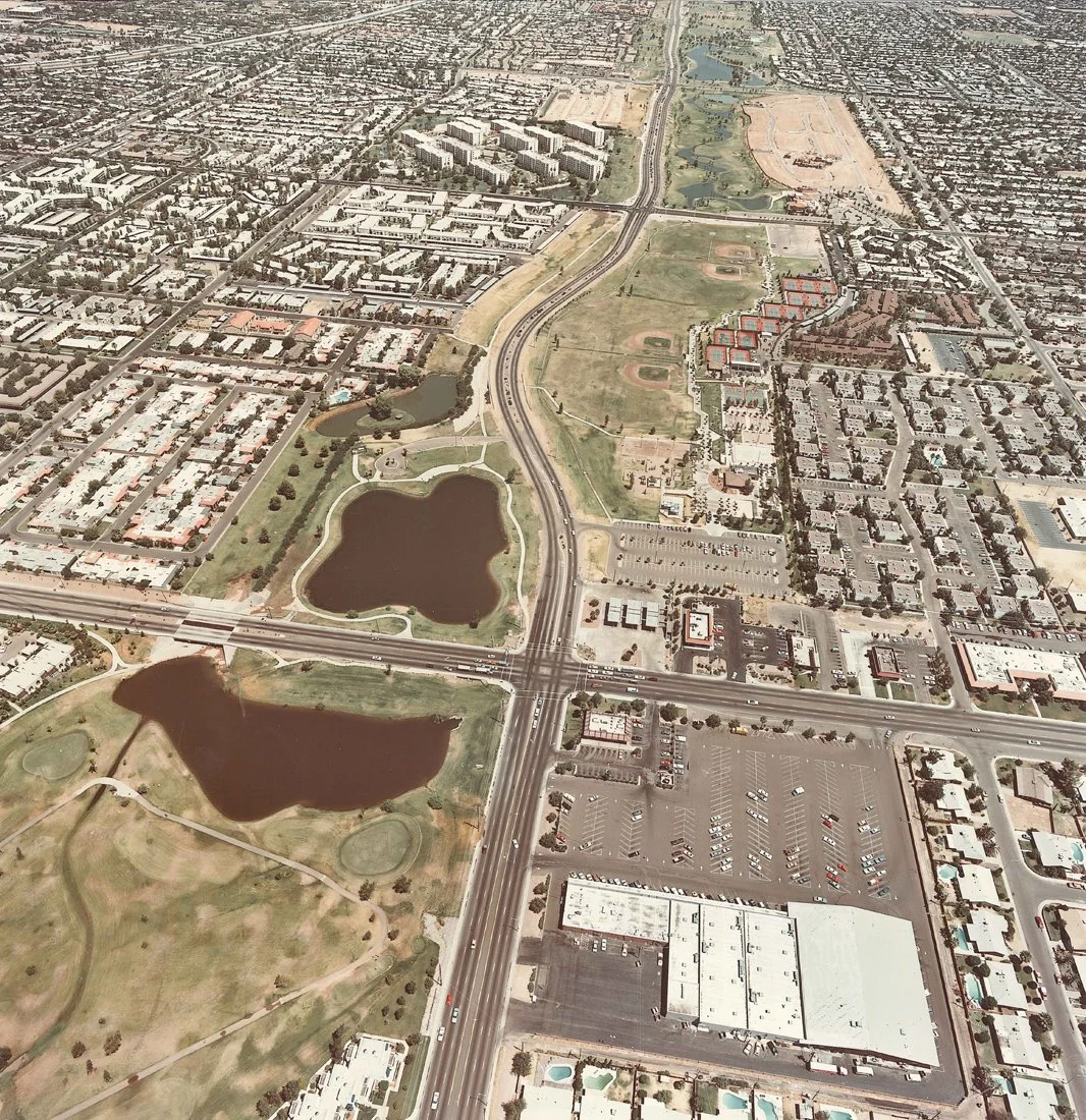
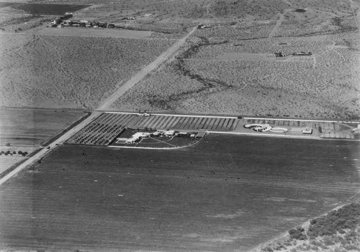
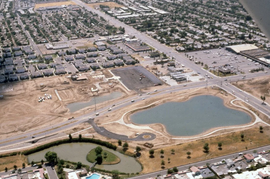
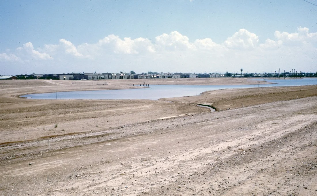
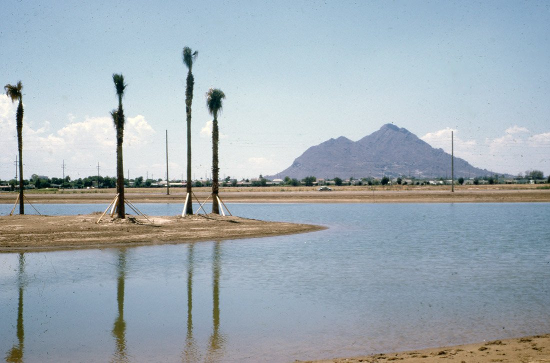
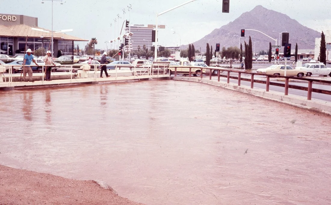
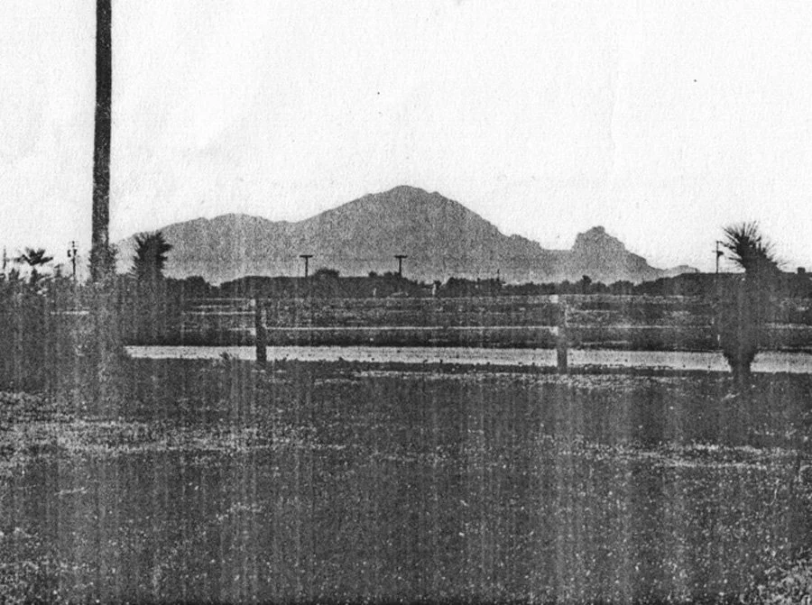
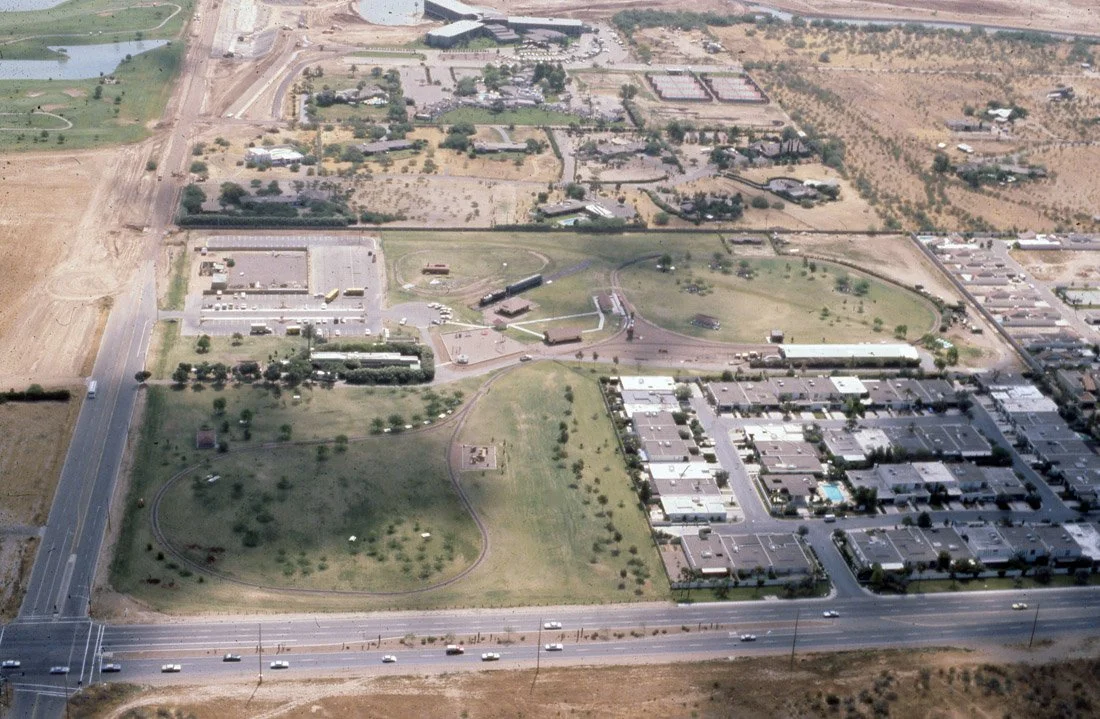
Aerial view of Scottsdale, Arizona showing residential and commercial areas, roads, and desert landscape.

Historical map showing ancient settlements, pueblos, and canals in the Phoenix, Tempe, and Mesa areas, with landmarks like Salt River and Camel Back Mountain labeled.

1937 map of suburban area including Tempe, Mesa, and Scottsdale in Maricopa County, Arizona. Features city layouts, highways, and geographical details. Scale provided with north arrow.

Aerial view of farmland and small town in a desert landscape, with mountains in the background.
In the early 1950s, an undeveloped area of desert north of Scottsdale was originally built as Sundown Ranch, and included houses and a small guest ranch. The Sundown Golf Course opened in December 1953. The development was later renamed Scottsdale Country Club and annexed into Scottsdale.

A flooded river with debris near a wooden bridge and a partially submerged car.

Aerial view of a historical site with buildings, trees, and roads, set against a backdrop of mountains and desert landscape. Labeled 'Scottsdale Historical Society.'
This aerial view shows the path of the Arizona Canal as it heads east. Although now fully developed with houses and businesses, this 1926 view shows citrus and date groves that gave the Arcadia area its cachet. Camelback Road cuts across the middle of the photograph, from right to left.

Aerial view of Fashion Square shopping center in Scottsdale with surrounding desert landscape and mountains in the background.

Map of Indian Bend Wash Basin, Phoenix area, 1966; shows drainage boundaries and cities like Scottsdale and Tempe.

Aerial view of a flooded urban area with buildings and surrounding fields partially submerged. The landscape extends to mountains in the background under a cloudy sky.
Cotton was Scottsdale's largest cash crop from about 1913 through World War II. Cotton had become so important to Scottsdale farmers that local businessman and rancher E.O. Brown, with partners, built Scottsdale its own cotton gin circa 1920. Located on the south side of Second Street just east of Scottsdale Road, the gin operated until the 1930s. After the gin closed, the buildings were used for storage. The main building burned down in the mid-1980s.

Black and white photo of a desert landscape with a large mountain in the background, a house with flat roofs in the foreground, and a swimming pool surrounded by cacti.
The northwest corner of Scottsdale and Camelback Roads had been farm fields, then the Scottsdale Jaycees' rodeo grounds for a few years in the late 1950s. Scottsdale's first shopping mall, Scottsdale Fashion Square, opened at the corner in the fall of 1961, with Goldwater's as the anchor tenant. This aerial view looking east to west was taken circa 1962. Goldwater's is the large building with a flat roof in the center of the photograph; a grocery store is located adjacent (center right).
In 1957, the Scottsdale Jaycees added a rodeo to its annual Parada del Sol events. They built a rodeo grounds on former farm fields on the northwest corner of Scottsdale and Camelback Roads. The Jaycees built a replacement rodeo grounds adjacent to Scottsdale Stadium since their first location had to be cleared to make way for construction of Scottsdale Fashion Square shopping mall in 1960-61.
Retired U.S. Army Chaplain Winfield S. Scott and his wife Helen pose in 1900 with their mule "Old Maud" in Scottsdale, Arizona, where they established a homestead in 1888.
As more artists and crafts people opened galleries, studios and shops in post-World War II Scottsdale, the downtown area became a center for fashion and wearable art. During the winter months, the fashion shops and merchants staged weekly or monthly fashion shows on 5th Avenue, featuring fashion from such local designers as Lloyd Kiva, Leona Caldwell, Jerome and others. This fashion show is believed to be from winter 1957.
Originally the home of the Donald Kellogg family and designed/built by R.T. "Bob" Evans in the 1920s, the Casa Blanca Inn was used by the Warner Borg company in the late 1940s as a corporate retreat, complete with its own landing strip. It became the Casa Blanca Inn and opened to the public circa the early 1950s and continued to operate as a resort through the 1970s. It was located near Chaparral road and several blocks west of Scottsdale road.
Casa Blanca Hotel Architecture

Black and white photo of cowboys riding horses at Flying T Ranch in Scottsdale, Arizona, with cacti and desert landscape in the background.
Casa Blanca Hotel Architecture
The Patio at Casa Blanca Inn

Hayden and Indian School. Flood of 1972.

Vintage photo of Safari Hotel with illuminated exterior and palm trees at night, featuring a large sign advertising events.
4611 N. Scottsdale Road The Safari Hotel was a resort hotel in Scottsdale, Arizona, which operated from 1956 to 1998. Designed by noted Phoenix architect Al Beadle, the Safari is noted for being one of the resorts which helped turn Scottsdale into a tourism destination, along with the Hotel Valley Ho and the Mountain Shadows Resort.

Vintage postcard depicting the Second Aviation Meet in America, Phoenix, Arizona, February 10-12, 1910. Features early aircraft above a stately building.

Vintage postcard of irrigation canal near a dairy farm in Phoenix, Arizona; features trees lining the canal and farmland in the background.

Scottsdale Civic Center with petroglyph art, flowing water, and lush greenery

Flooded road with warning sign saying 'Do Not Enter When Flooded,' surrounded by trees and a flood height measurement post.

Black and white photo of Camelback Mountain in Phoenix, Arizona, with saguaro cacti in the foreground.

Aerial view of the intersection of Scottsdale Road and Indian School Road. The new Bashas' store is near the northwest corner just north of a gas station. On the northeast corner (which is Winfield Scott's original home site) is either Bimbo's Drive-In or the Stage Stop Drive-In. Bimbo's Drive-in was probably the first fast food restaurant in Scottsdale. Bimbo's changed to the Stage Stop Drive-In in the mid-1950s. East of the restaurant is Scottsdale High School. Private homes still populate the southeast corner of the intersection in the photograph- the Valley National Bank building would not be built there until 1959

Scenic view of an architectural structure with a domed roof surrounded by palm trees and desert vegetation, set against a backdrop of rugged mountains.

Desert landscape with mountains, sparse vegetation, and saguaro cacti under a cloudy sky.

Black and white photo of a person leaning against a vintage car next to a tall cactus in a desert landscape with mountains in the background.

Vintage photo of a large saguaro cactus with a classic car and two men in a desert landscape.

Vintage black and white photo of a large cactus with two classic cars and four people standing in a desert landscape, circa early 20th century.

Vintage car and man beside large Saguaro cactus in desert landscape with mountains.

A vintage car parked next to a tall saguaro cactus in a desert landscape with mountains in the background.

Desert landscape with two large cacti and a mountain in the background, under a clear sky.

A woman in a swimsuit standing in front of a large saguaro cactus in a desert landscape with mountains and a wire fence in the background.

Black and white photo of street intersection with road signs for E. Camelback Rd and N. Hayden Rd, traffic lights, and open field in background.

Two people in floodwaters near a house, one assisting the other to safety over a fence.

People standing in a flooded street next to a partially submerged car, with more individuals visible in the background. The scene appears chaotic, with people walking through the water.

Helicopter Bringing Food & Supplies to the Emergency Center at Cocopah. Note the water in the streets several hours after the rain.

Flooded street in a neighborhood with trees and a caution sign, July 1972.