Explore the Scottsdale Greenbelt
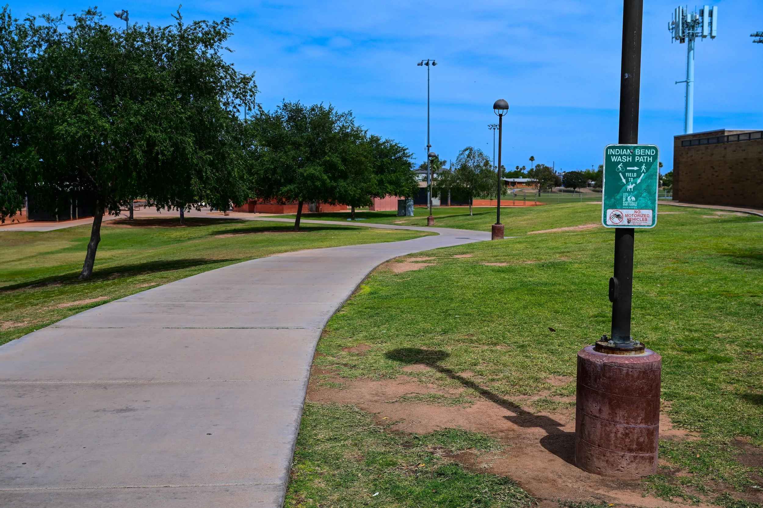
Discover the full Scottsdale Greenbelt / Indian Bend Wash Trail with this interactive map featuring parks, lakes, public art, walking and biking paths, recreation areas, historic landmarks, restaurants, and scenic stops from Shea Boulevard to Tempe.
Click any section marker to explore detailed park information, Greenbelt history, amenities, and downloadable area maps throughout Scottsdale’s most iconic outdoor corridor.

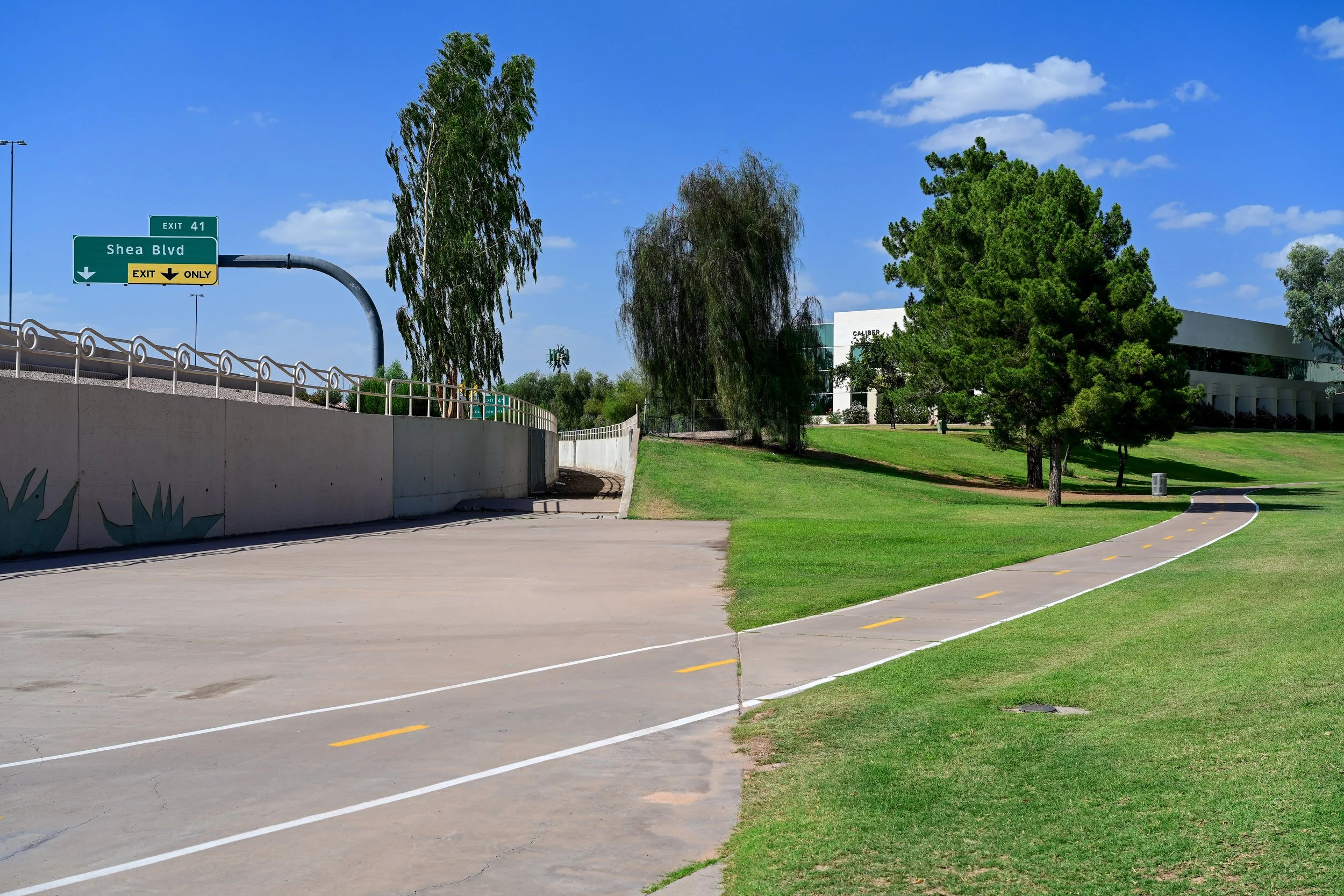
Shea Boulevard
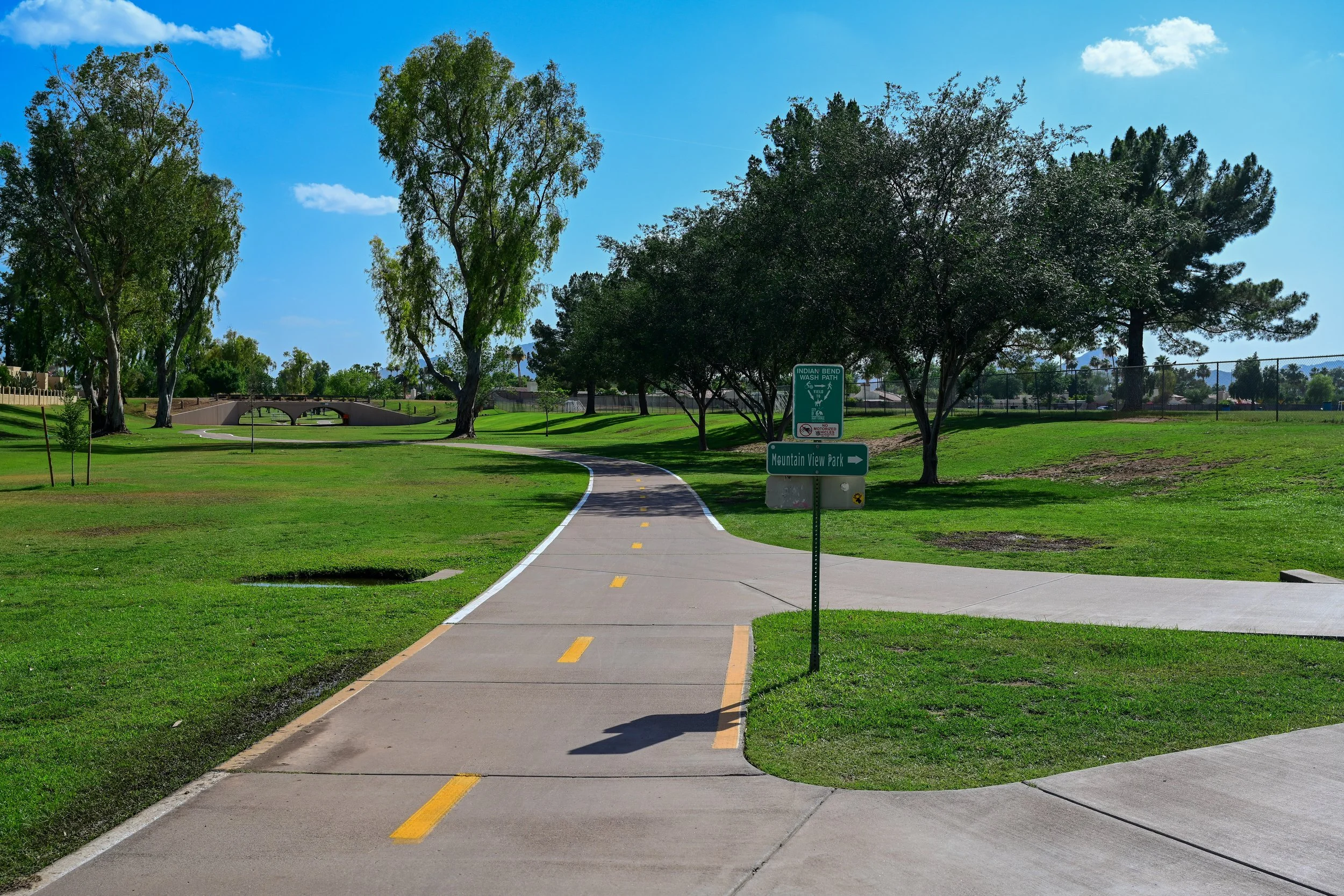
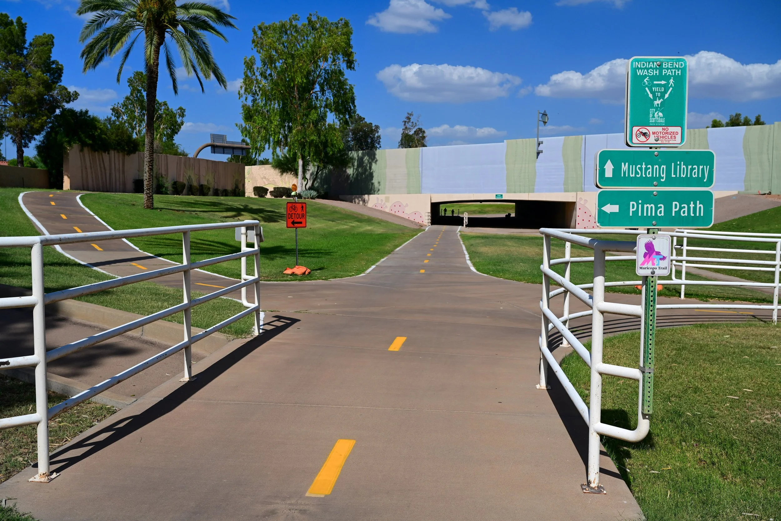
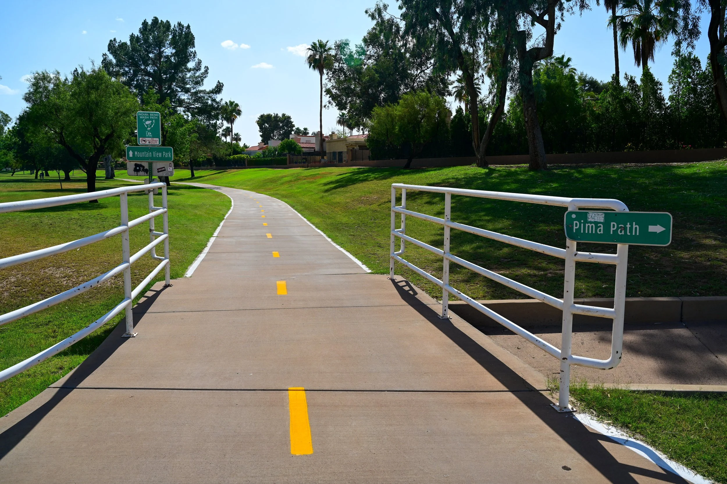
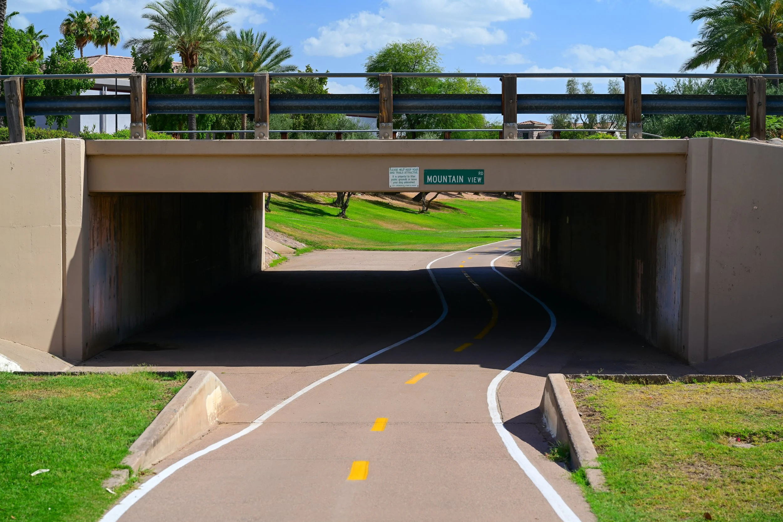
Shea Boulevard Area
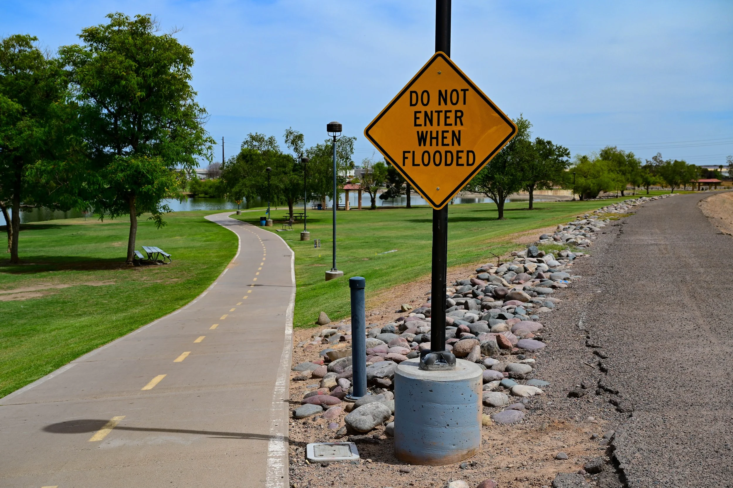
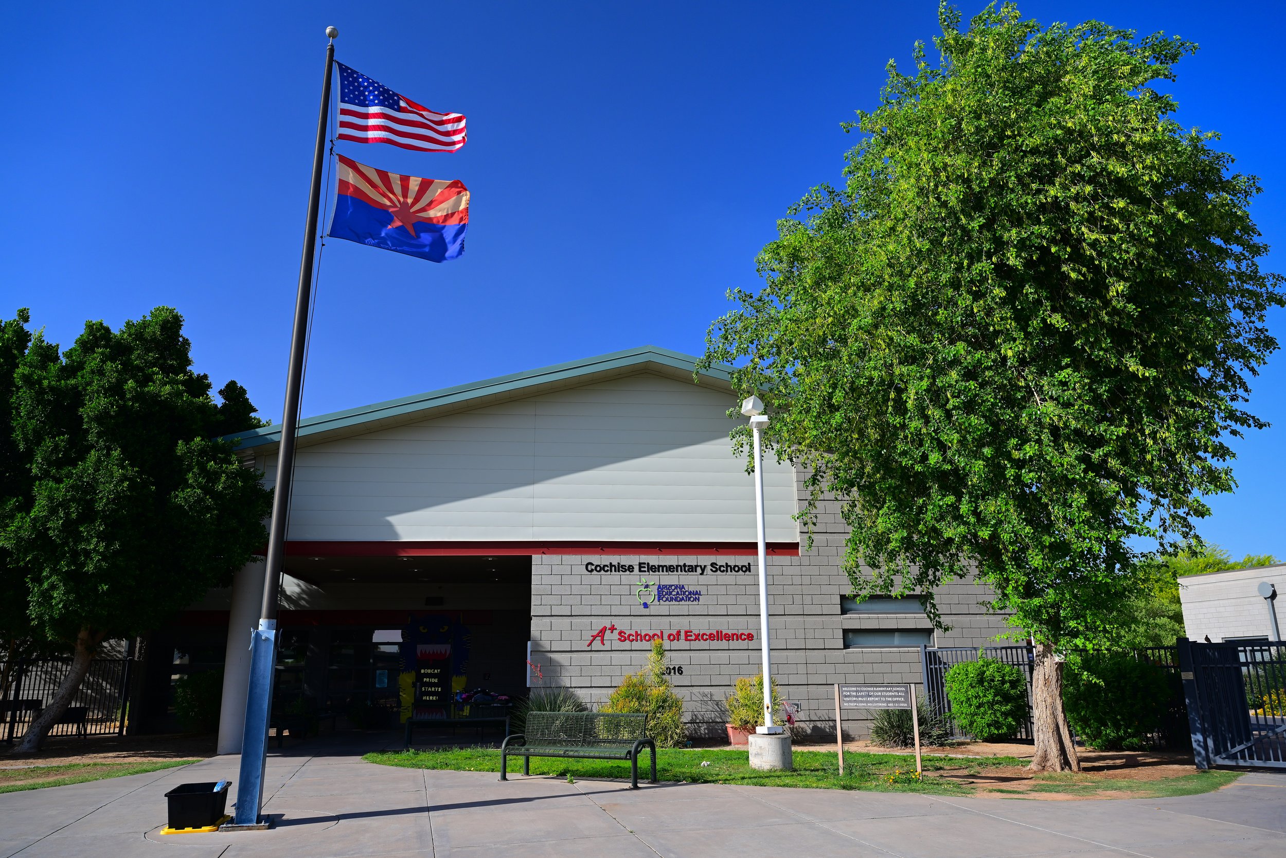
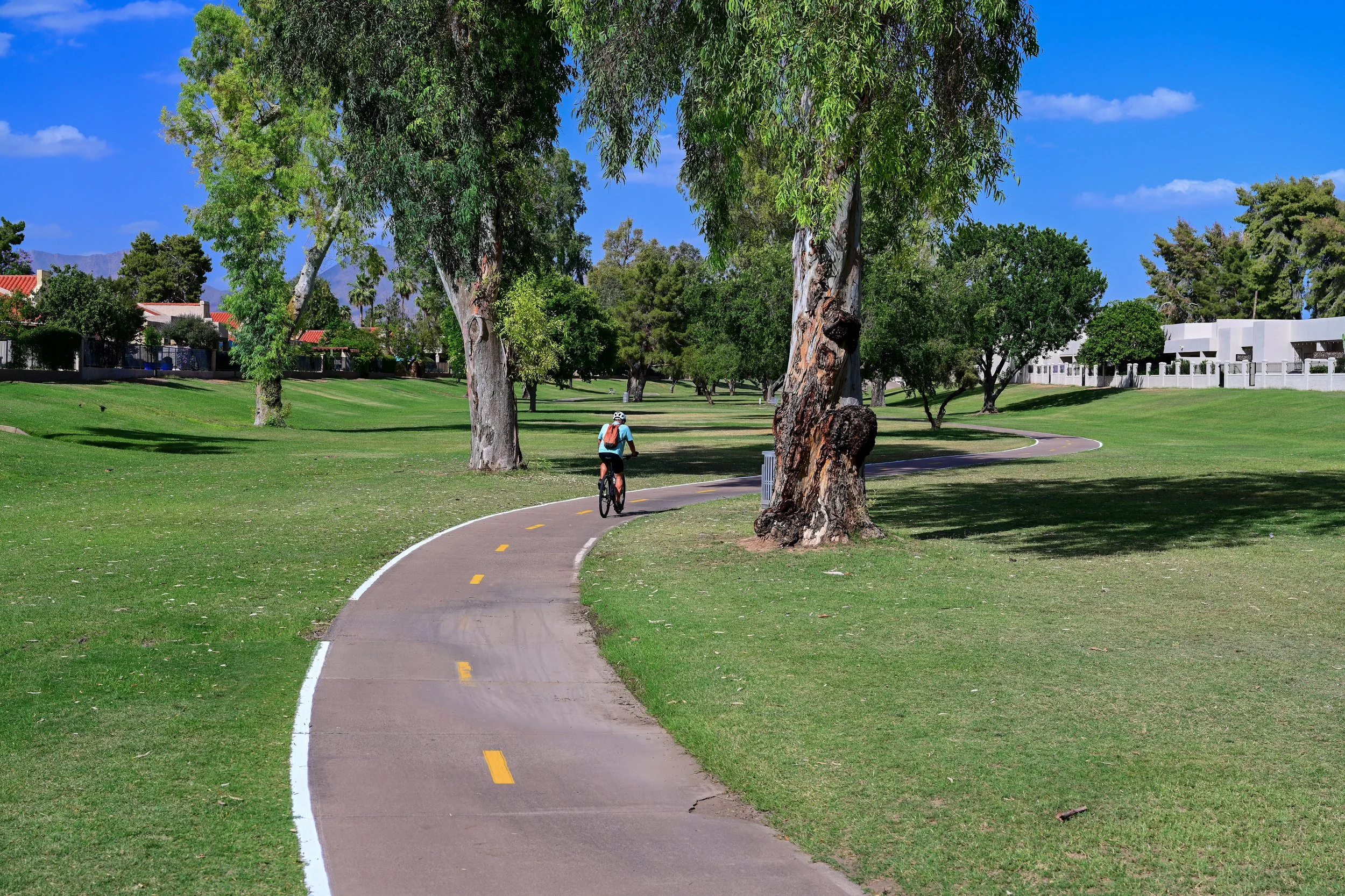
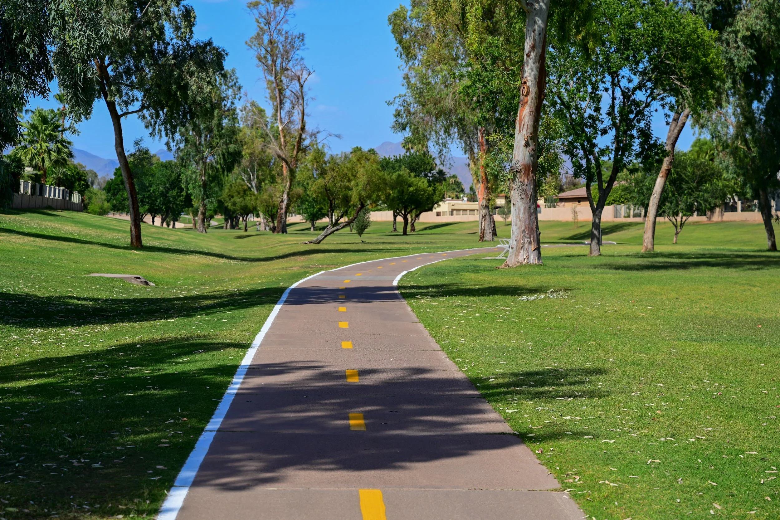
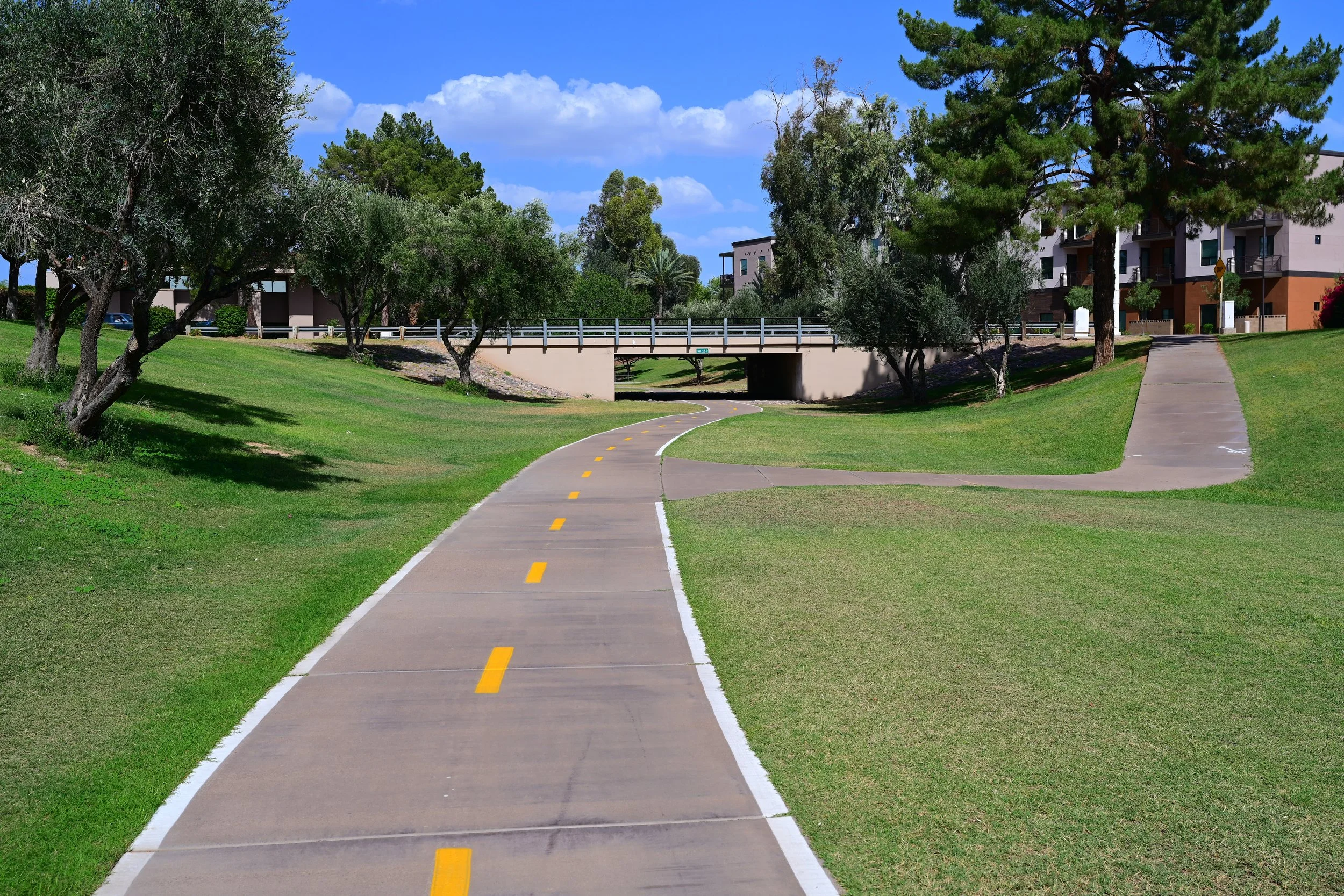
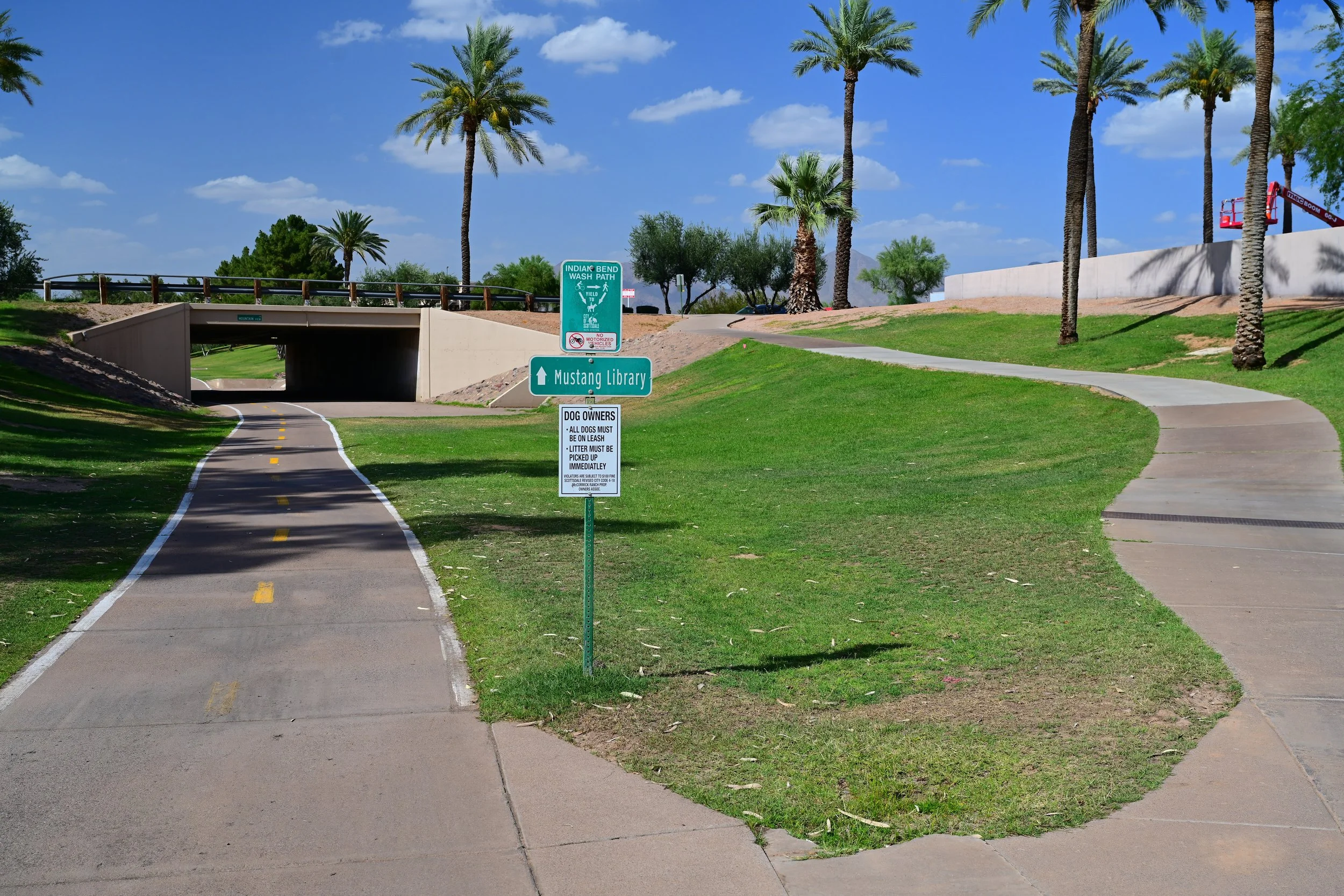
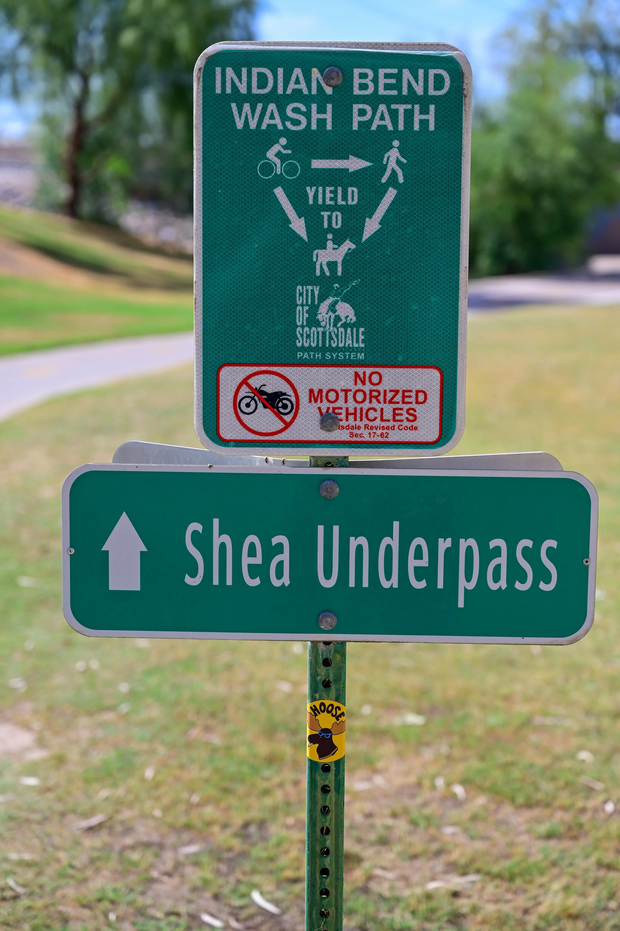
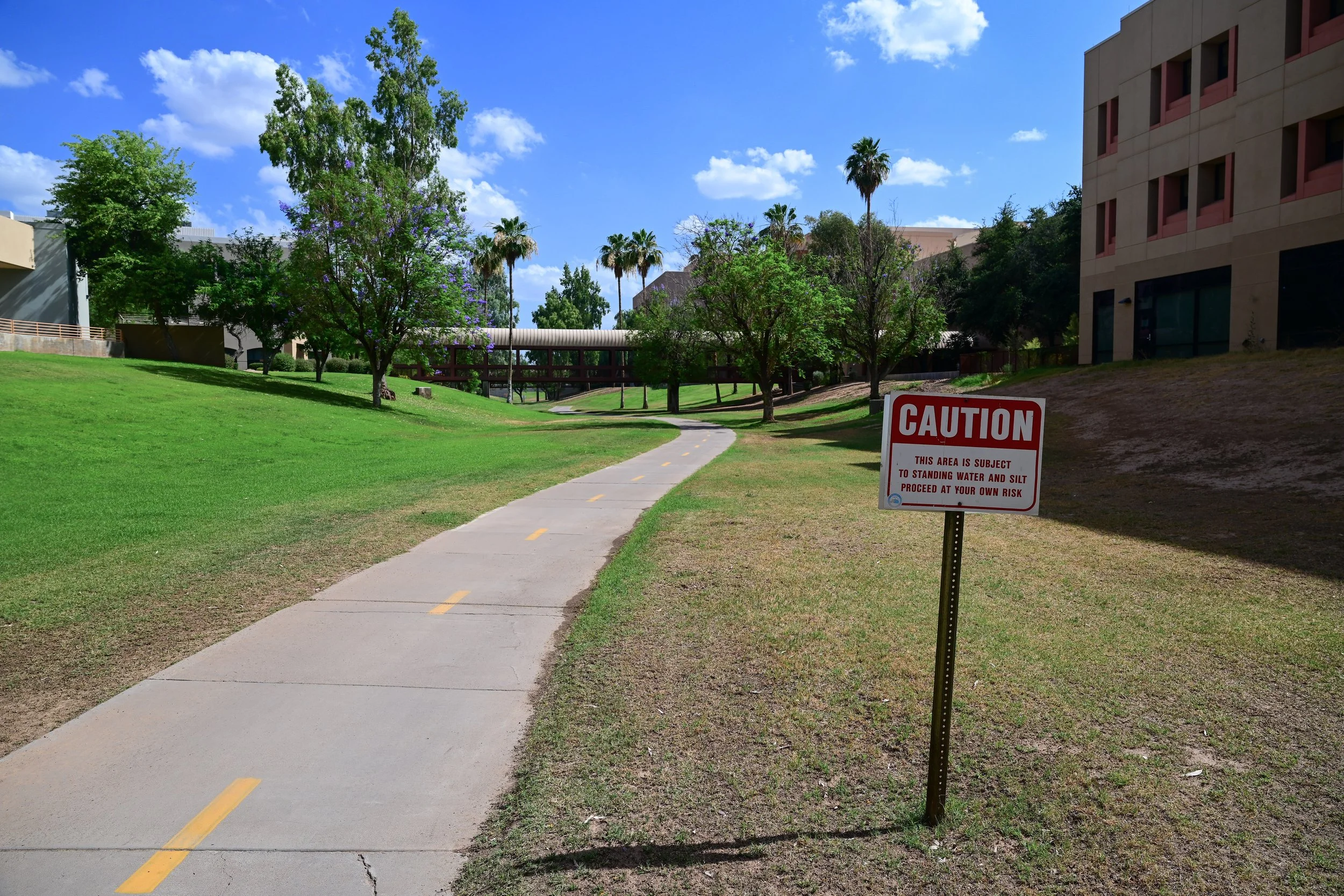
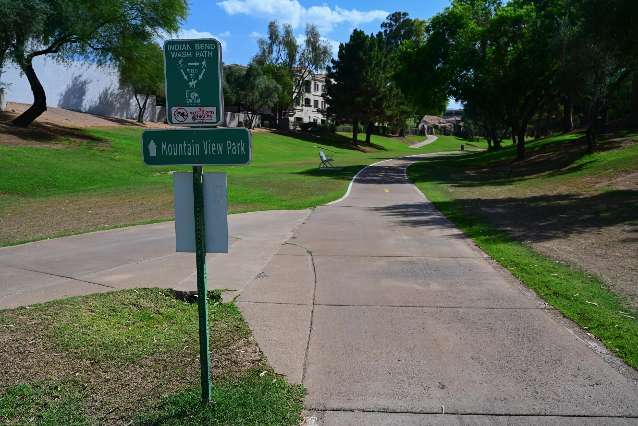
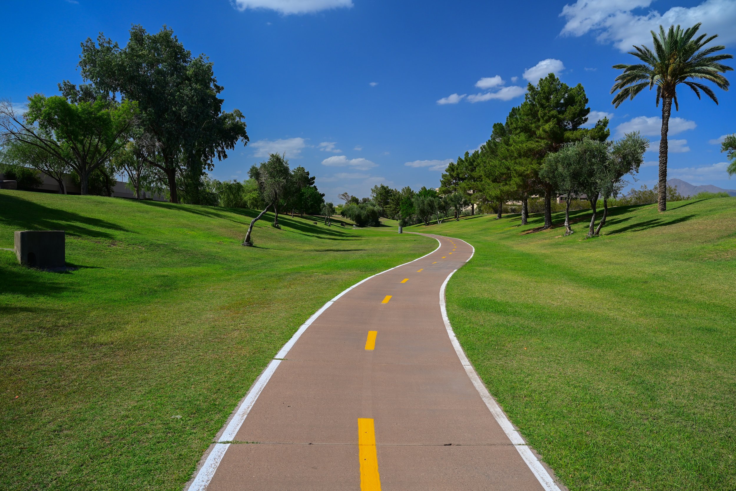
The Shea Boulevard area is one of the most useful access points for the Scottsdale Greenbelt and Indian Bend Wash Trail. This section connects neighborhood paths, Mountain View Park, Mustang Library, and HonorHealth Scottsdale Shea Medical Center. For walkers, runners, cyclists, families, and visitors, it is a convenient starting point for exploring the northern portion of the Greenbelt.
HonorHealth Scottsdale Shea Medical Center
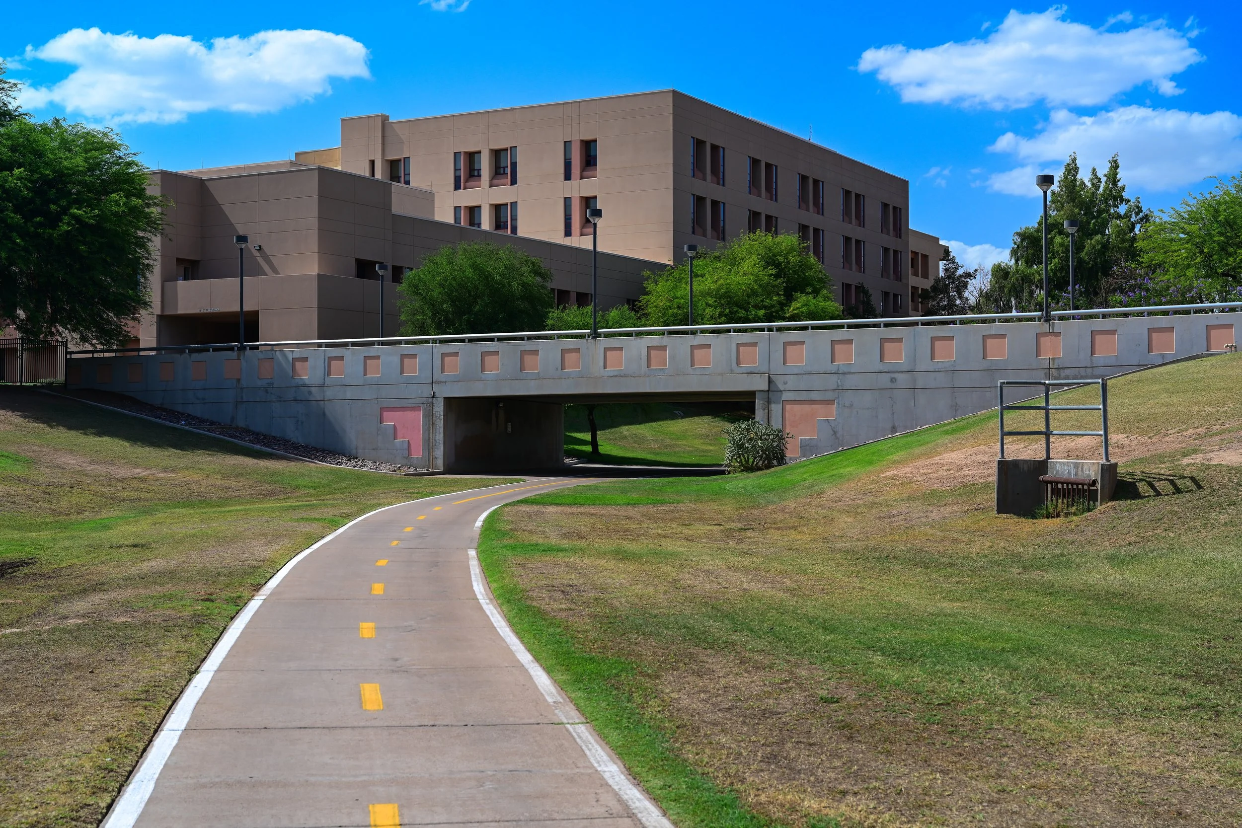
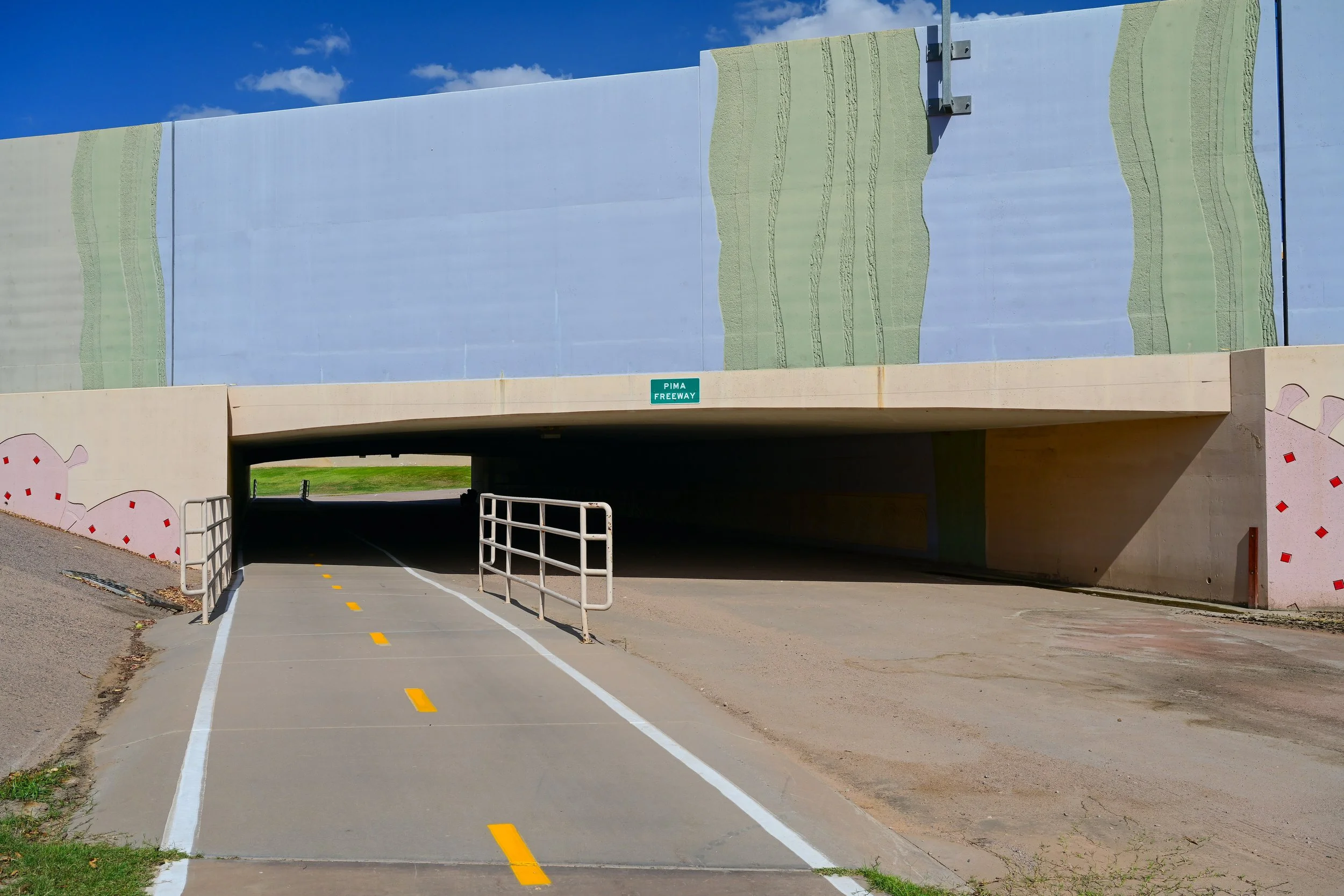
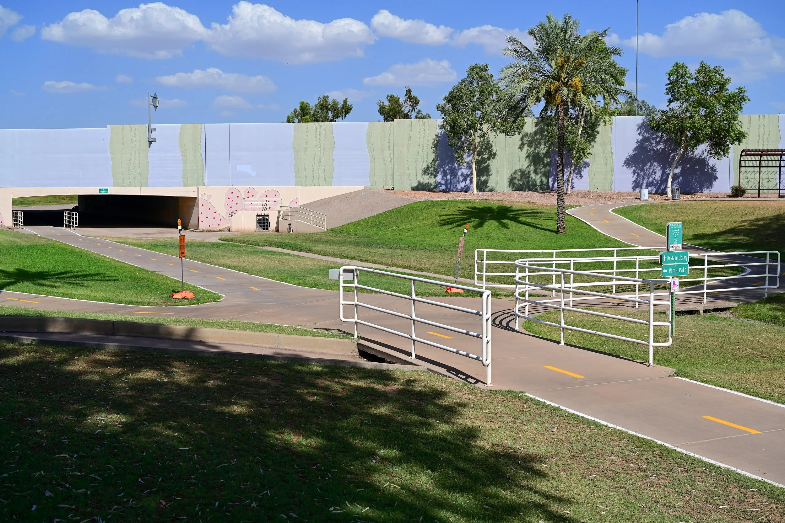
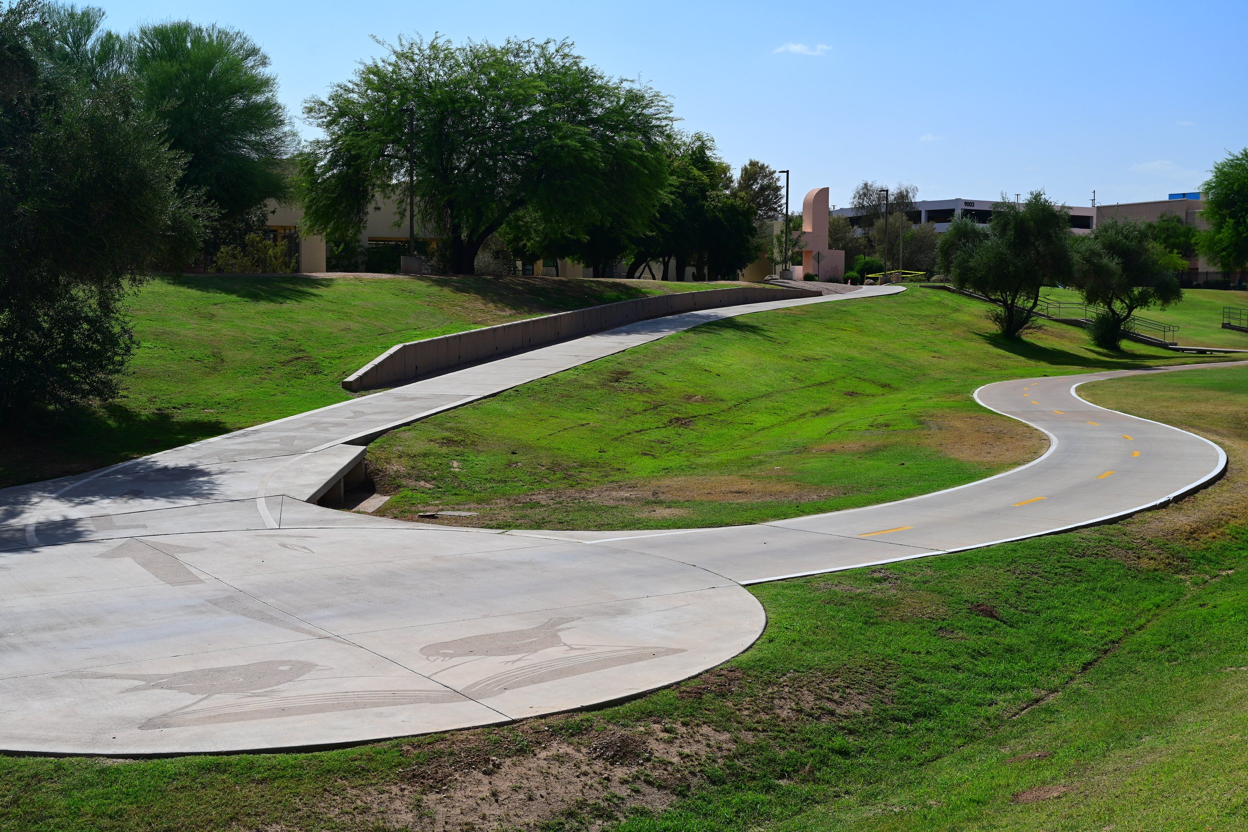
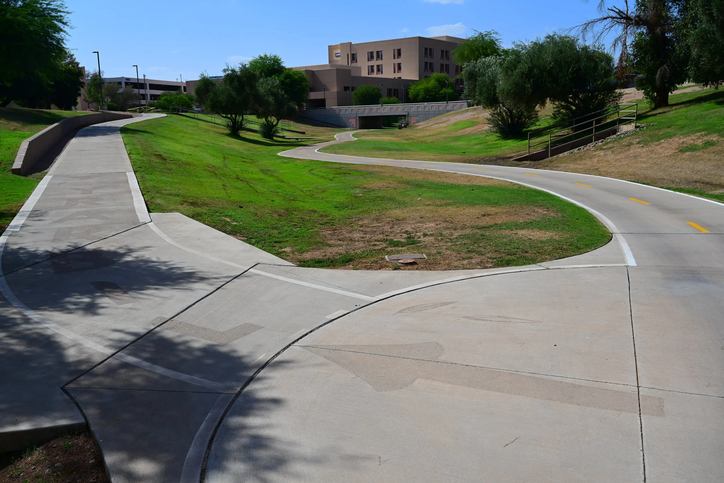
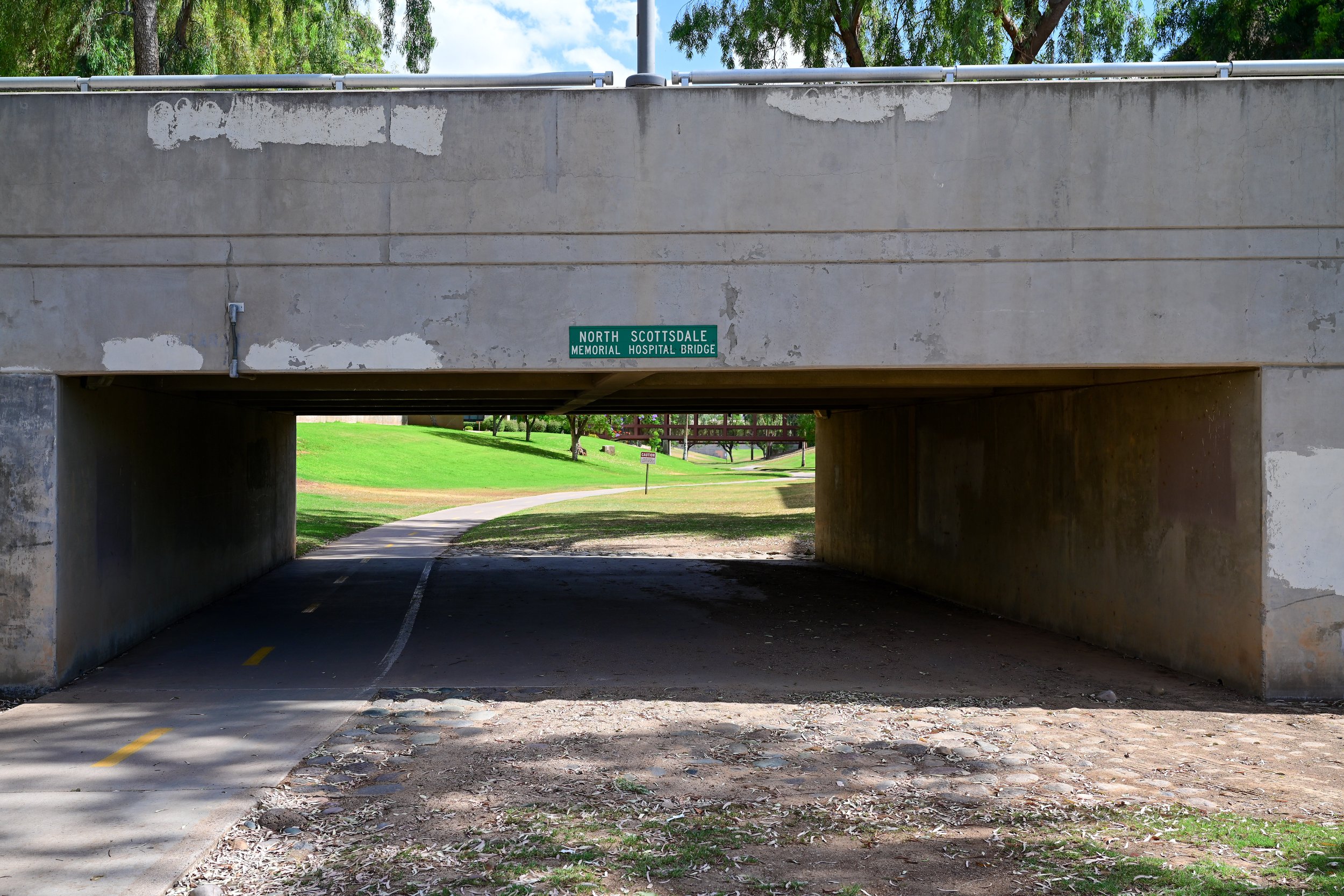
HonorHealth Scottsdale Shea Medical Center is one of the major landmarks near the Shea Boulevard section of the Greenbelt. Located at 9003 E. Shea Boulevard, the medical center sits just east of Loop 101 and serves as an important healthcare anchor for this part of Scottsdale.
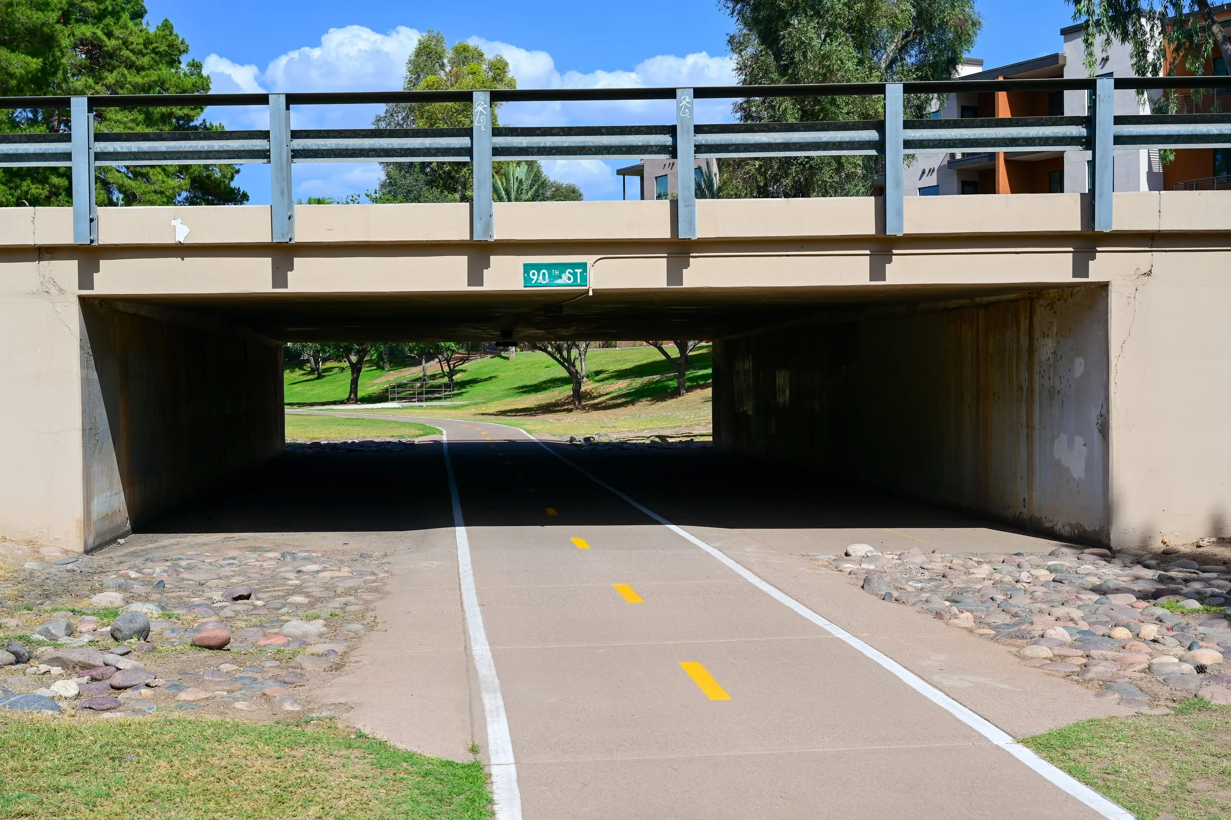
For Greenbelt users, the hospital campus is a helpful orientation point. If you are near Shea Boulevard and Loop 101, the medical center sits on the east side of the freeway, while the Greenbelt trail and Mountain View Park are west of Loop 101. The hospital area also helps mark the transition between the residential Greenbelt corridor and the medical, commercial, and office uses near 90th and 92nd Streets.
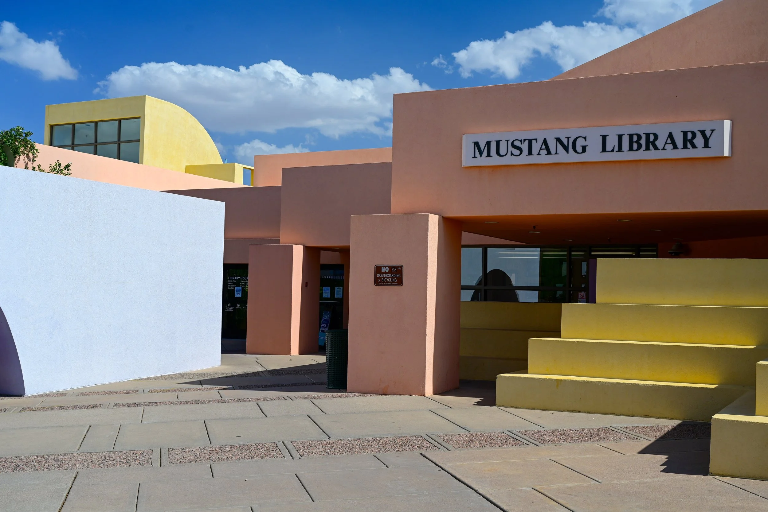
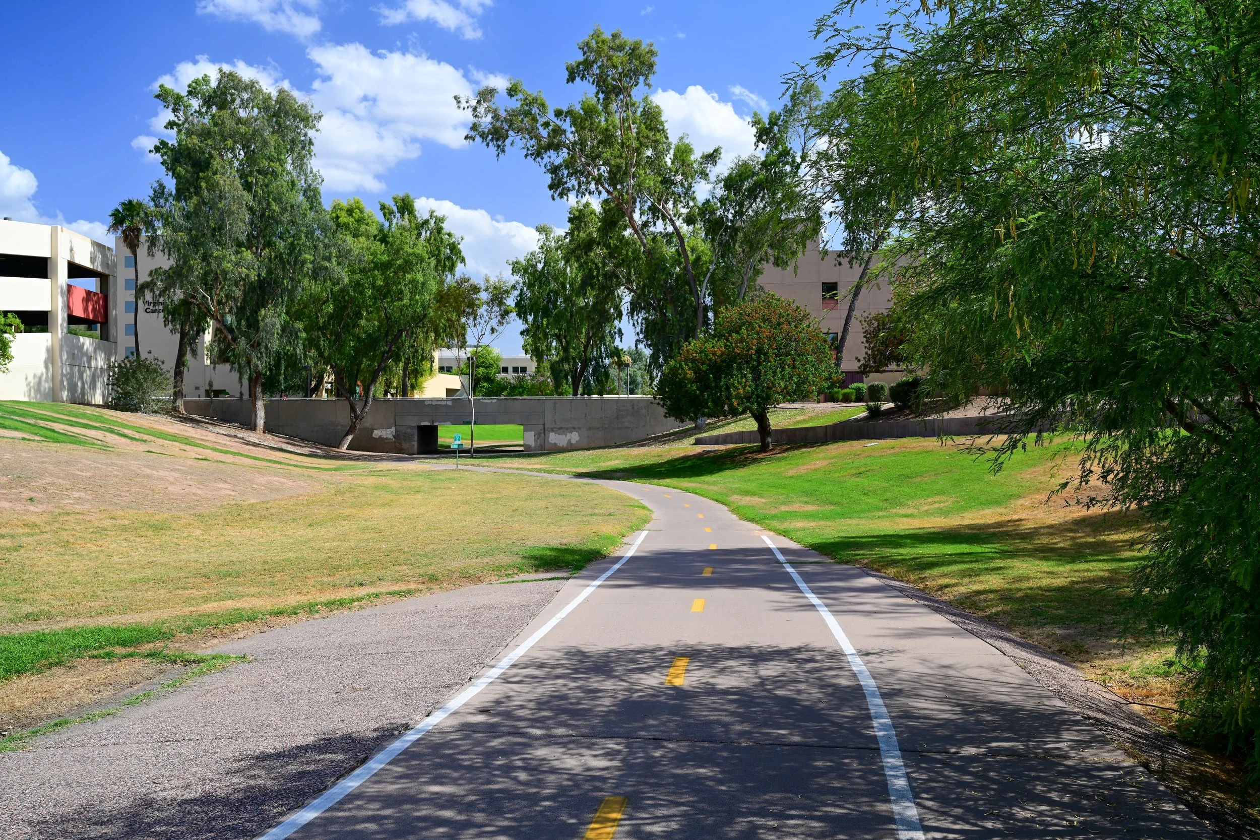
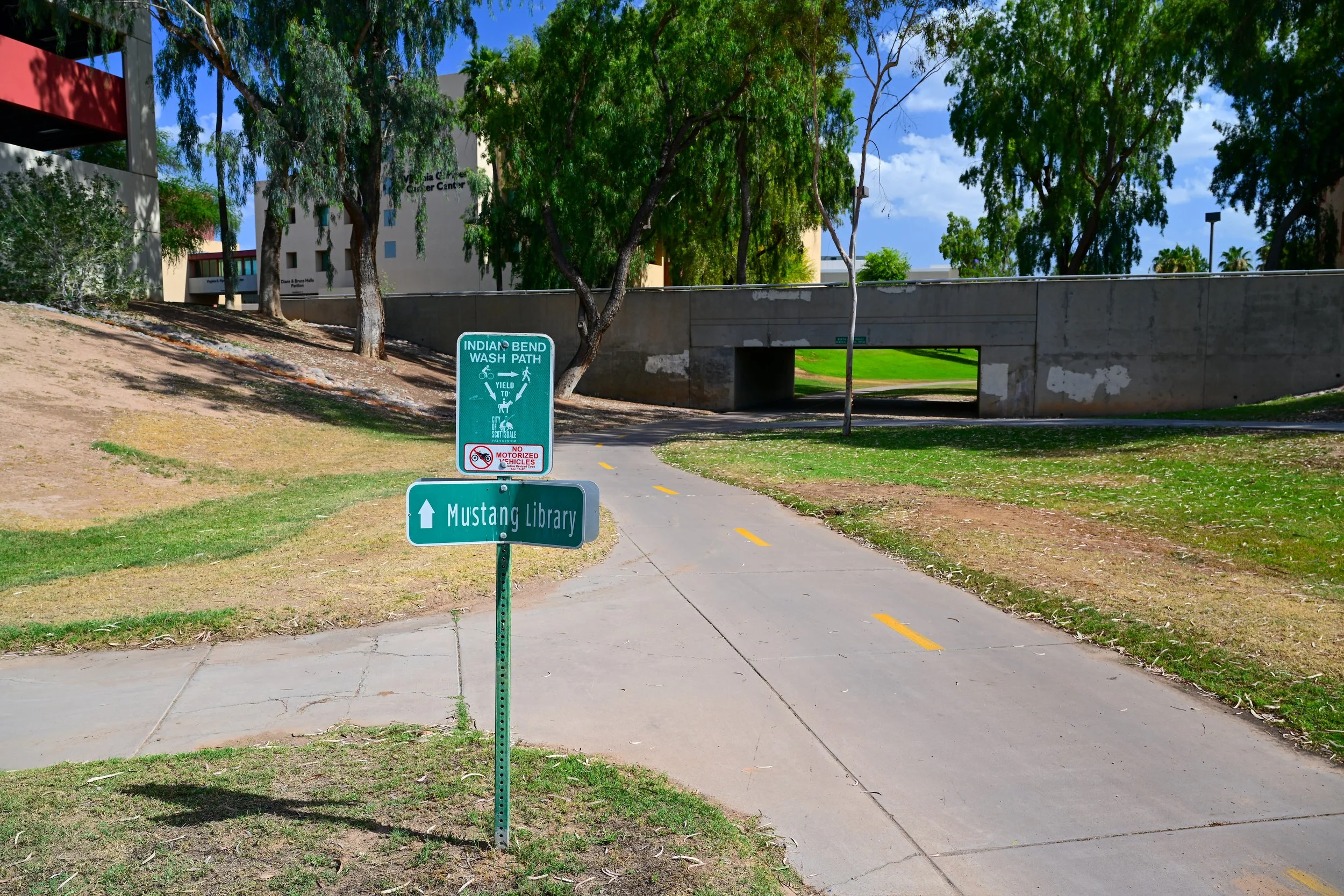
Mustang Library is another key public destination in the Shea area. Opened in 1987, it is part of the Scottsdale Public Library system and is located near Shea Boulevard and 90th Street.
The library adds a civic and educational landmark to this part of the Greenbelt area. It is not just a place to check out books. It is a community gathering point near the trail corridor, close to the hospital campus, local restaurants, neighborhoods, and public open space. For families using the Greenbelt, Mustang Library can be a useful nearby stop before or after a walk, bike ride, or visit to Mountain View Park.
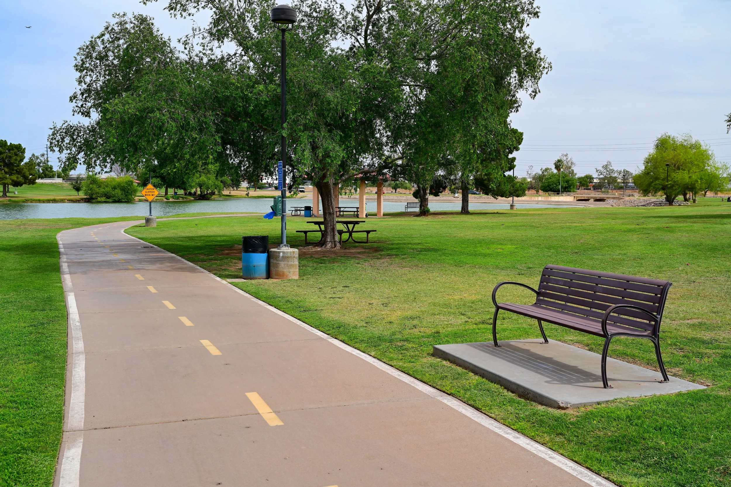
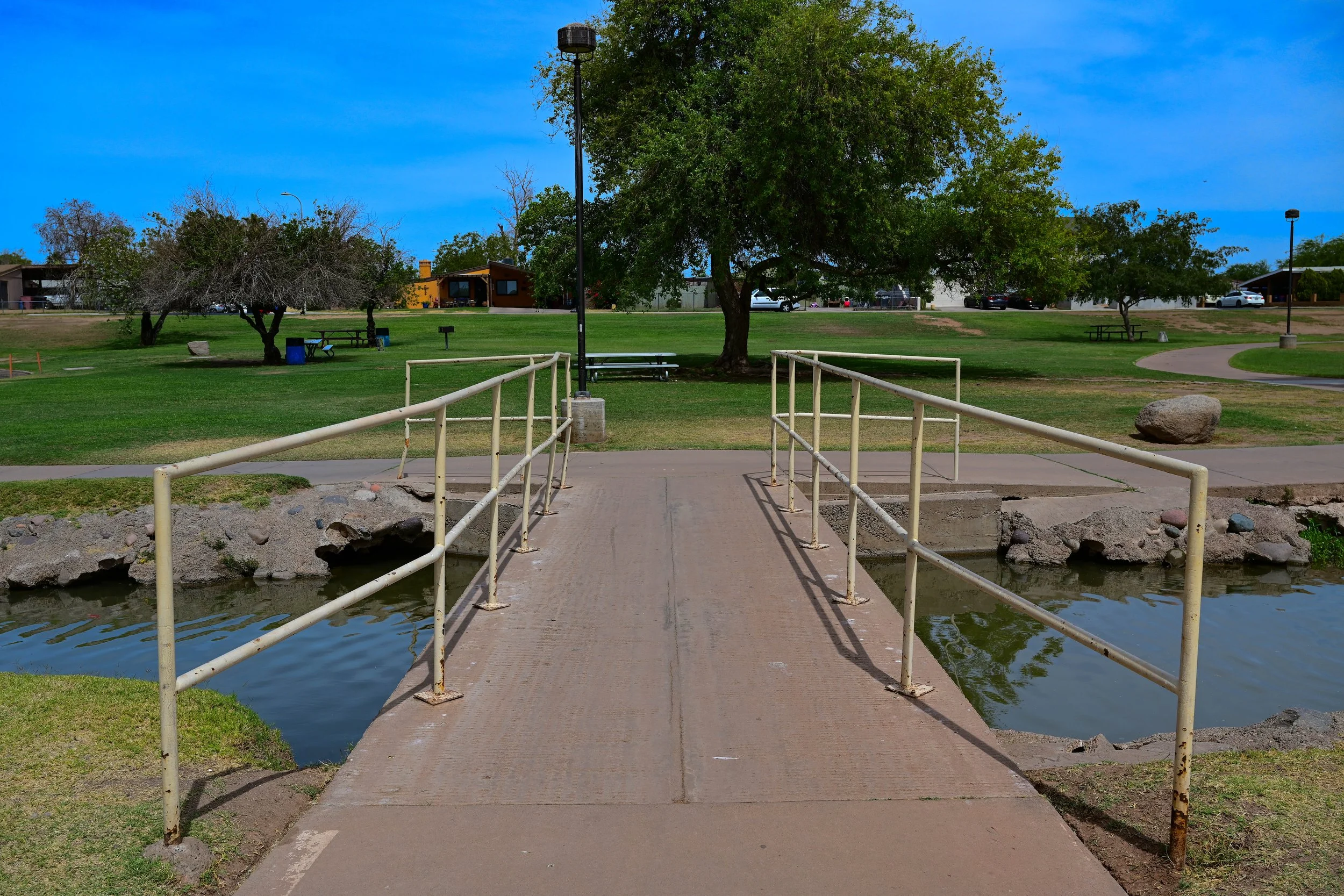
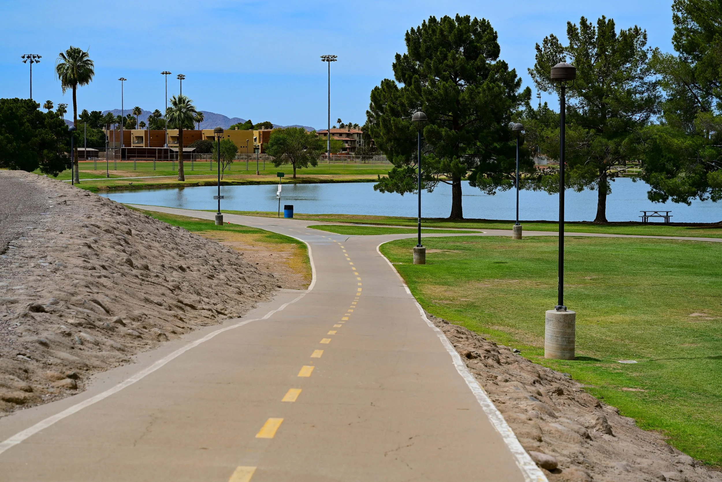
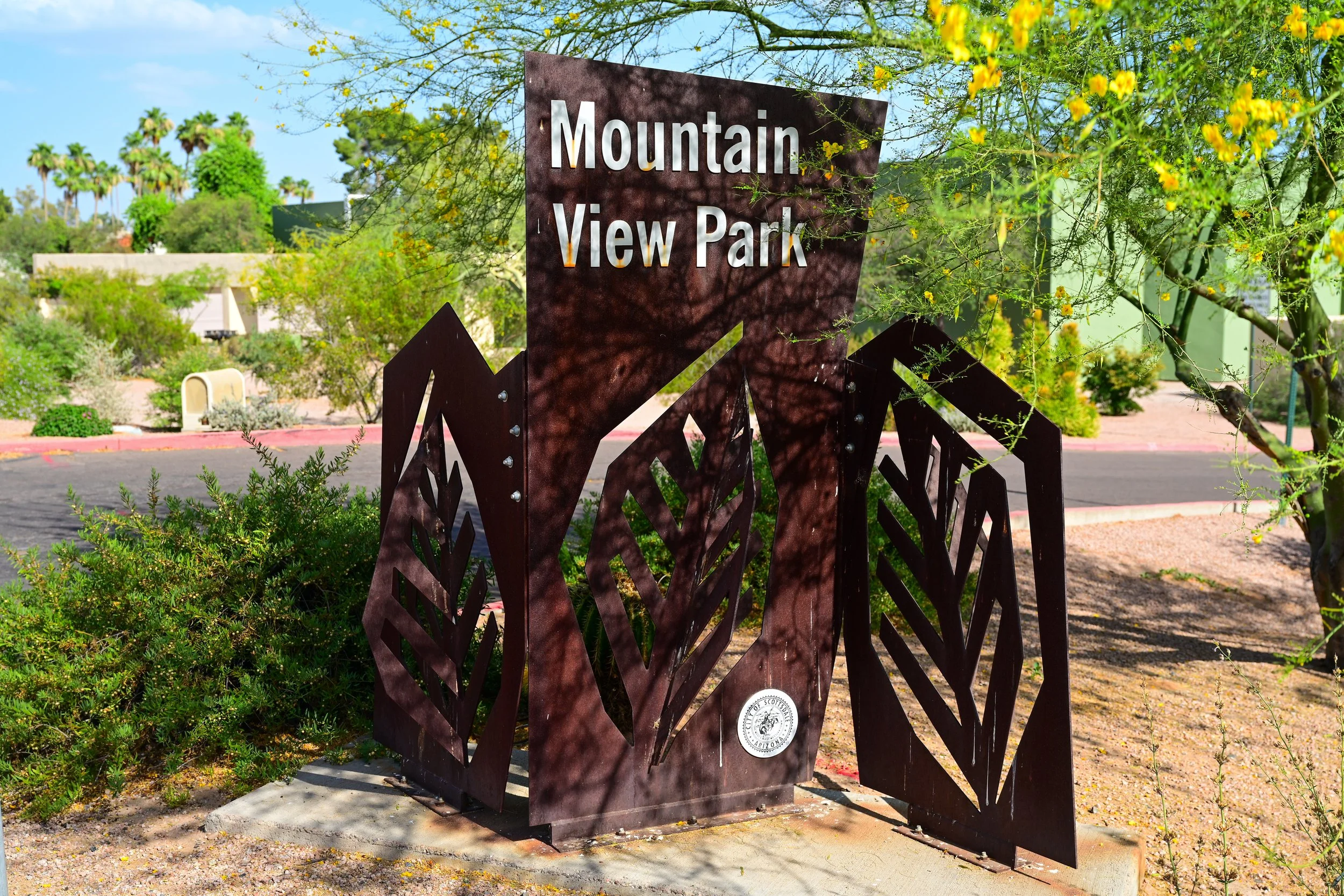
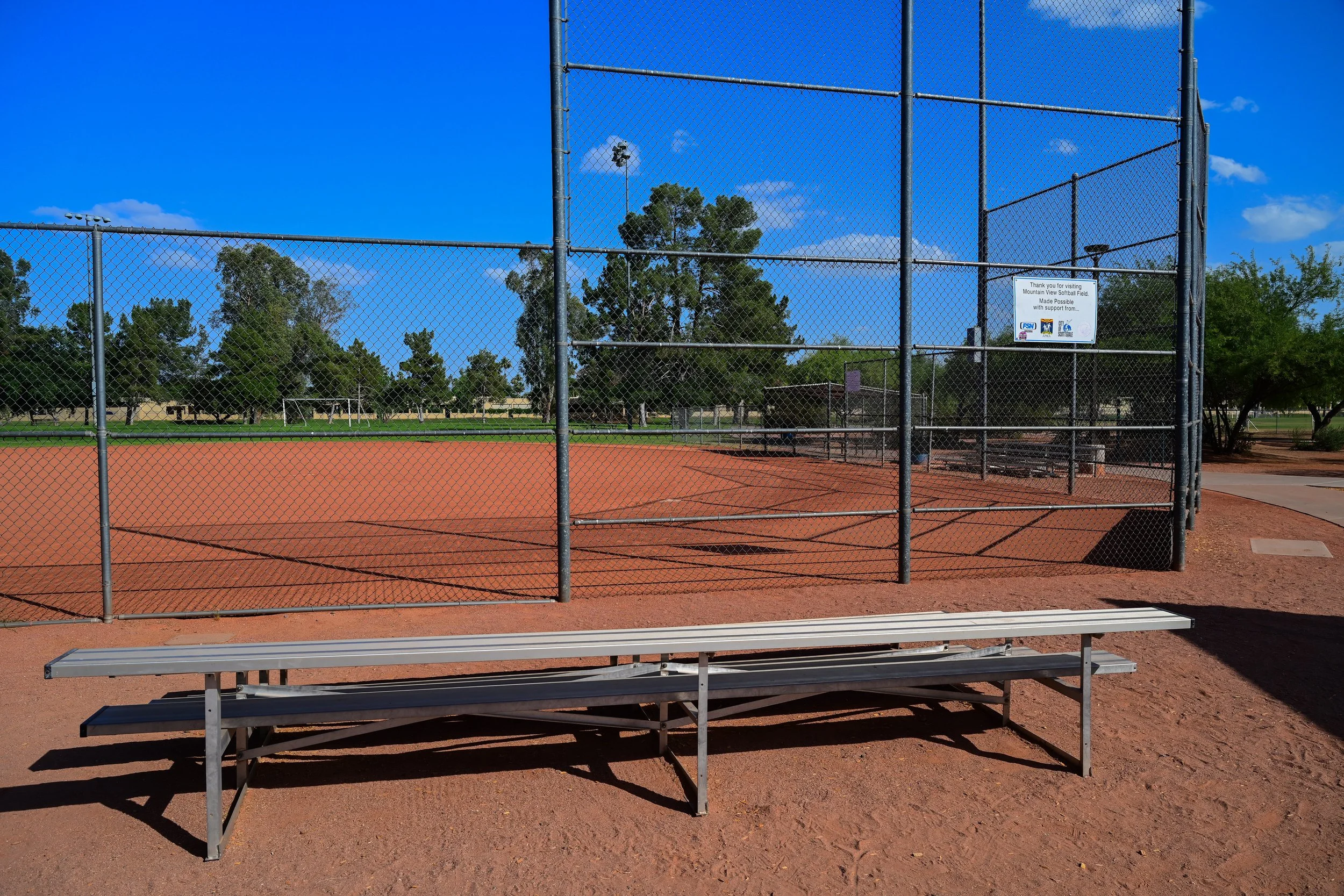
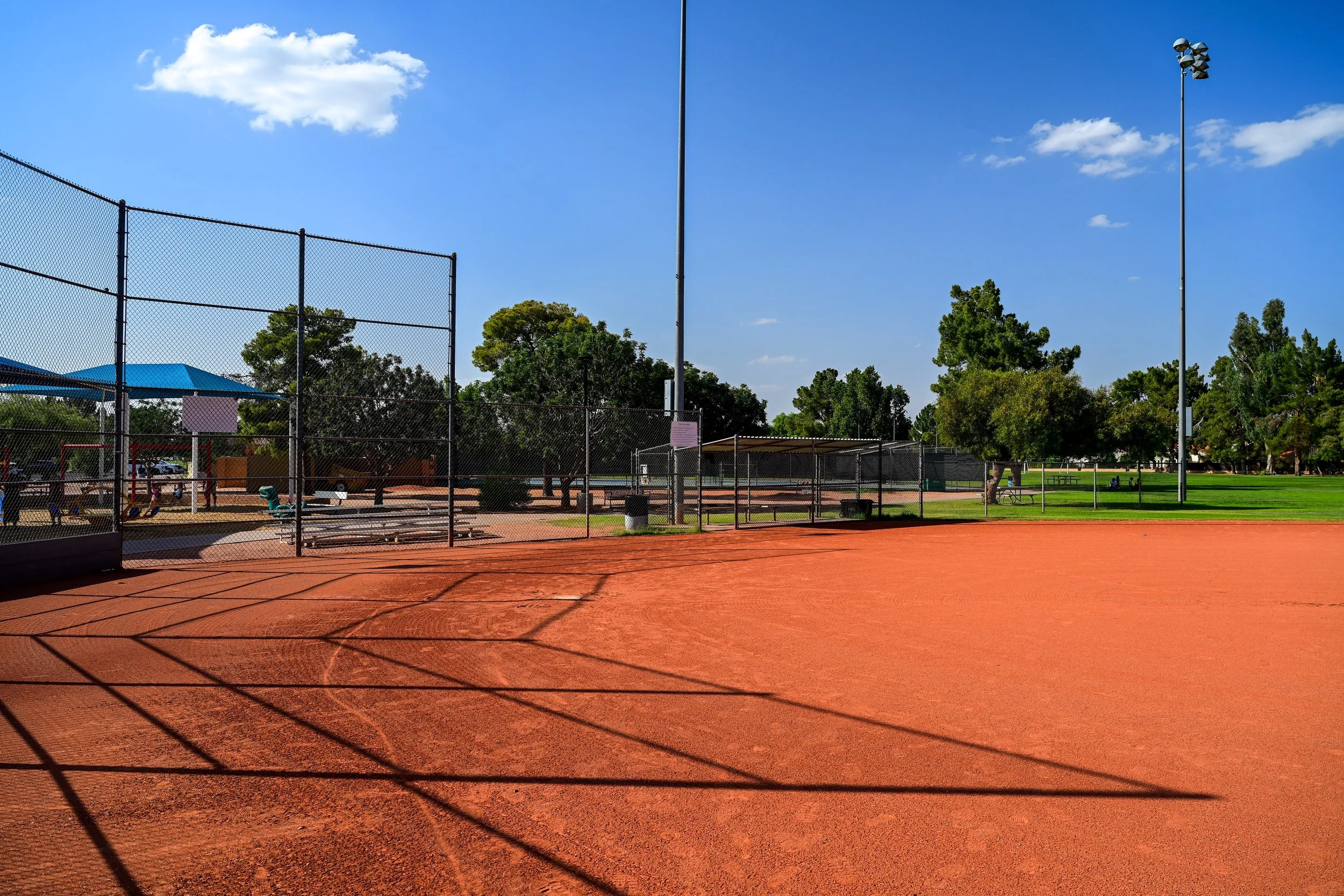
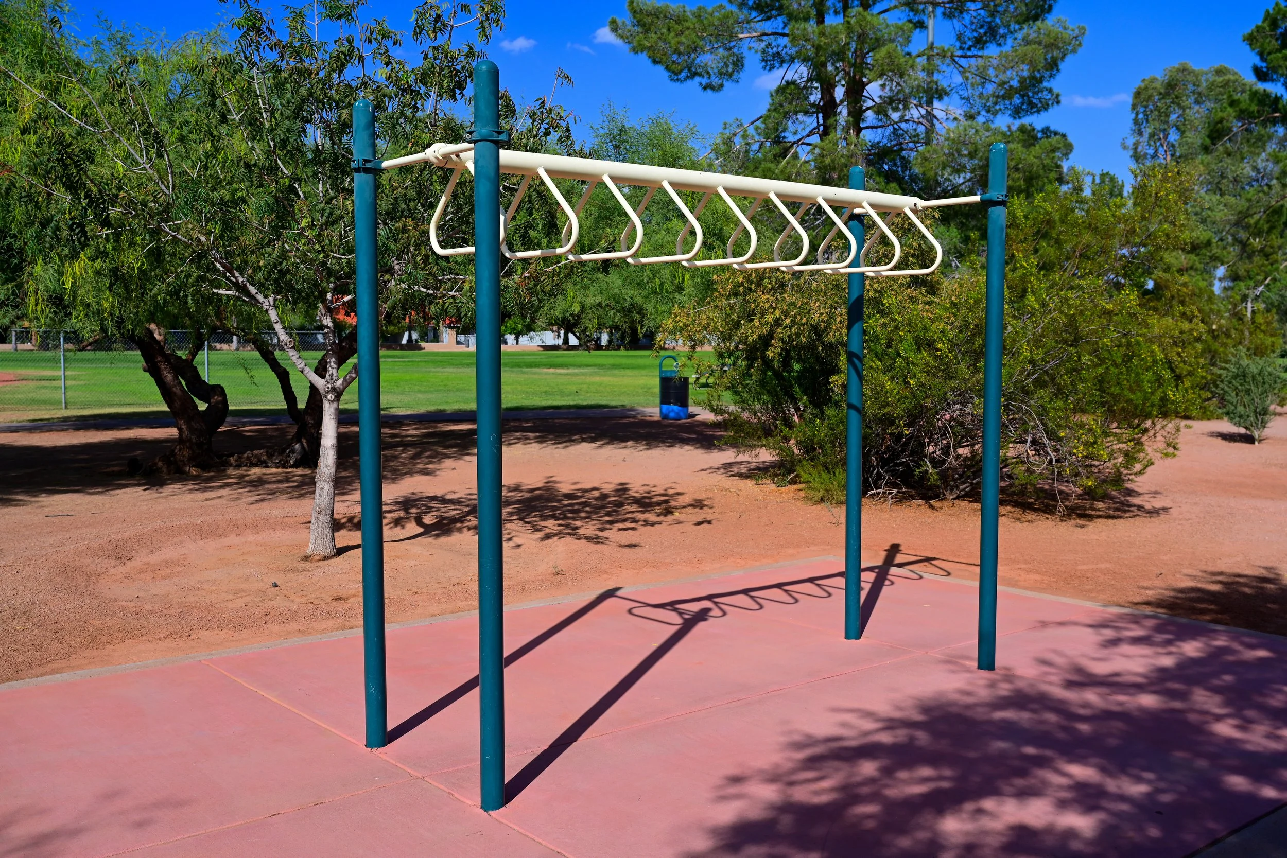
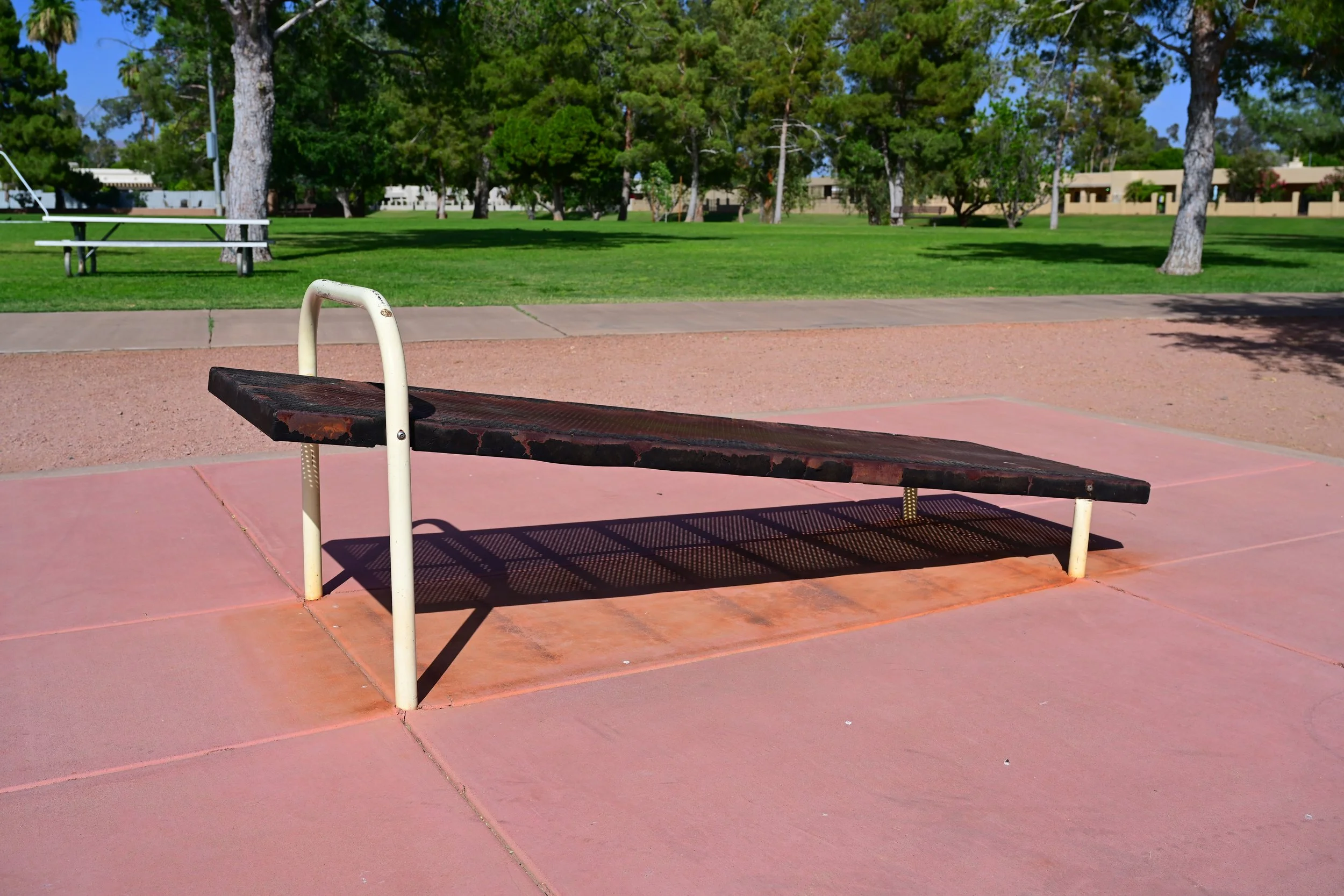
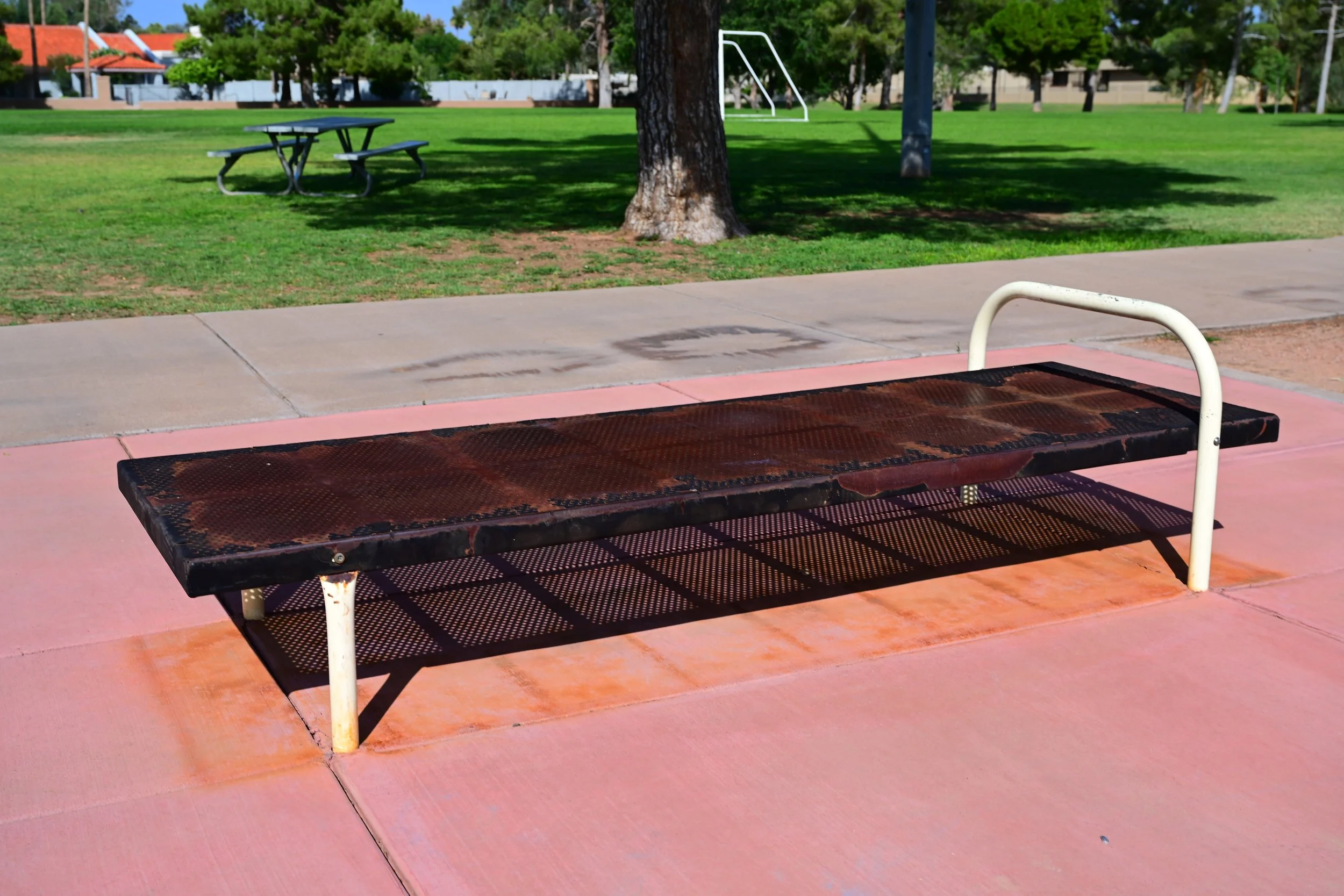
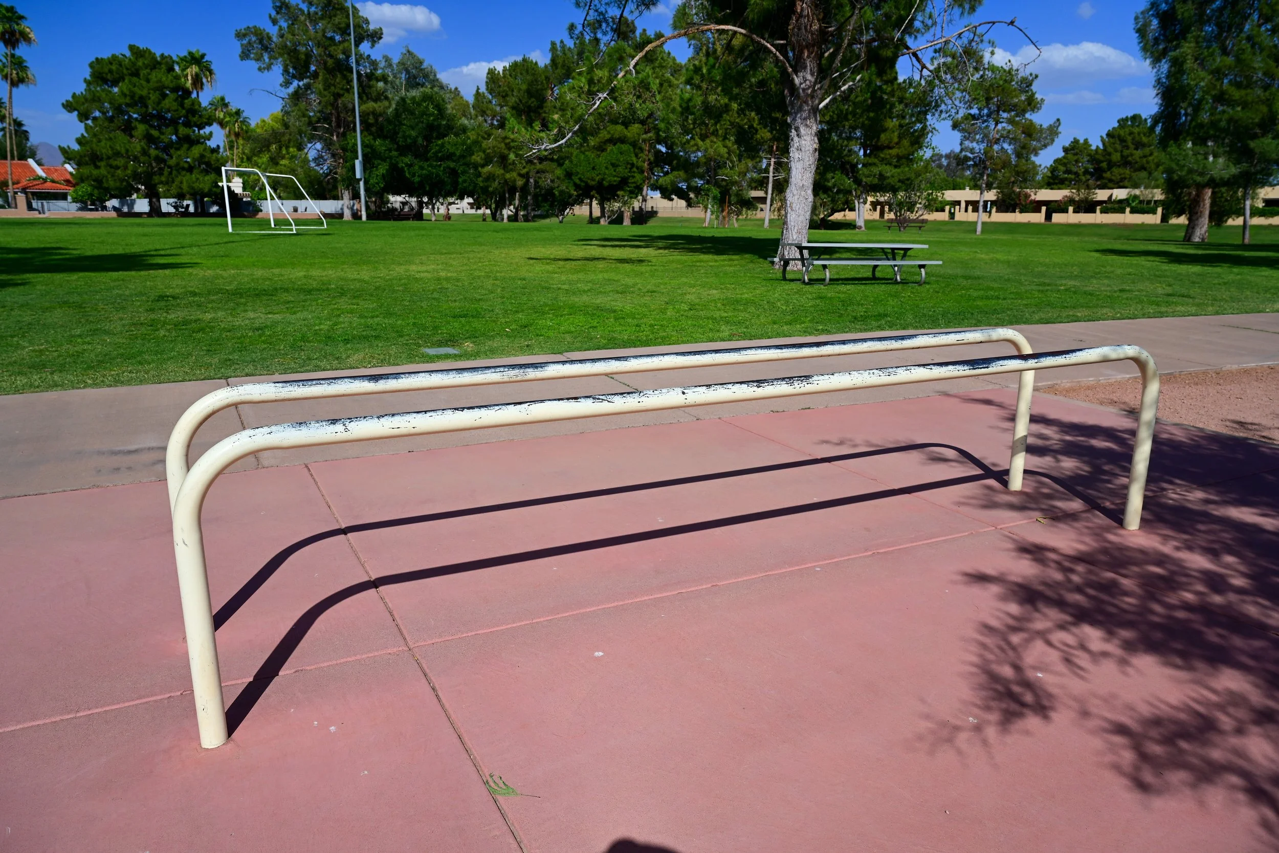
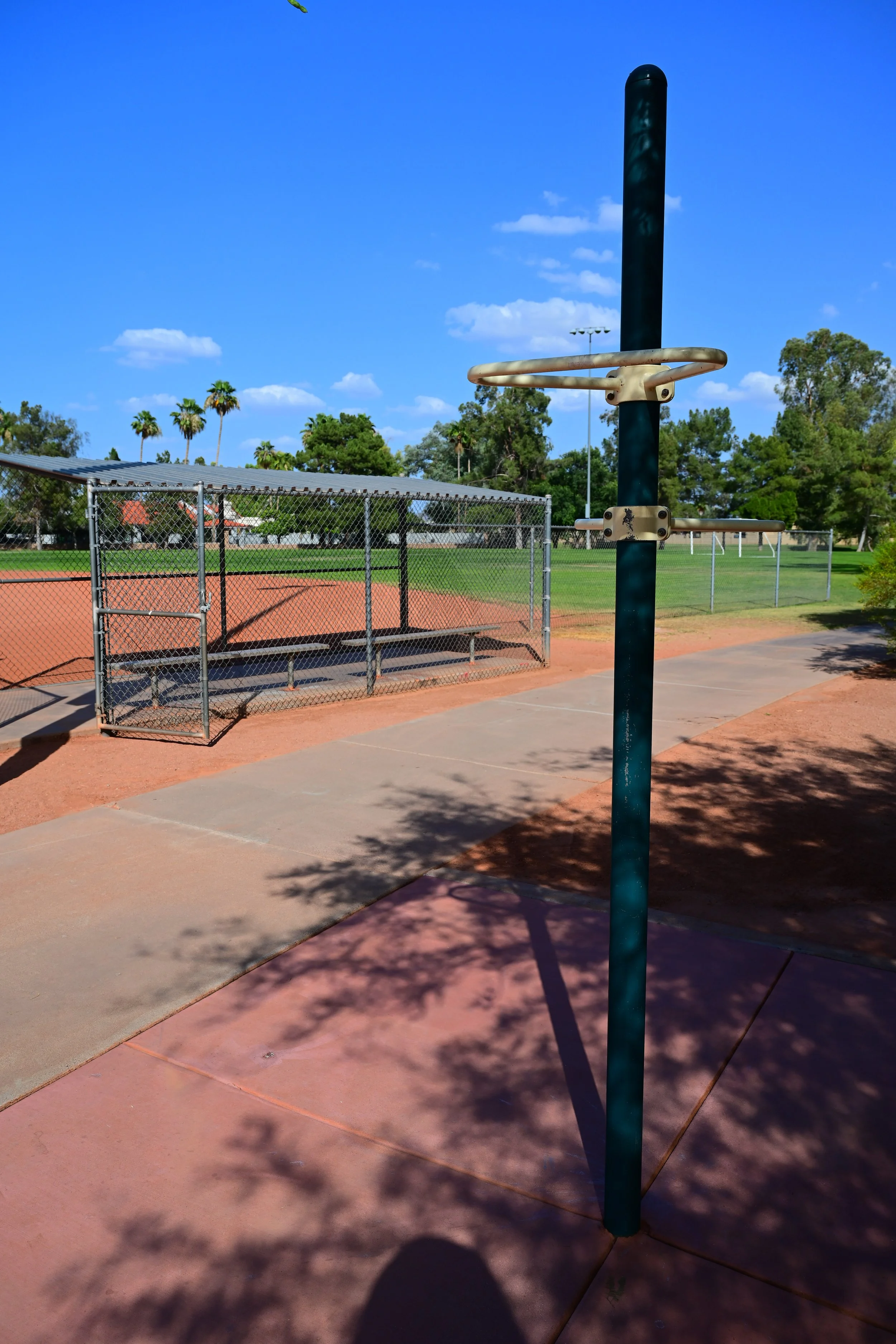
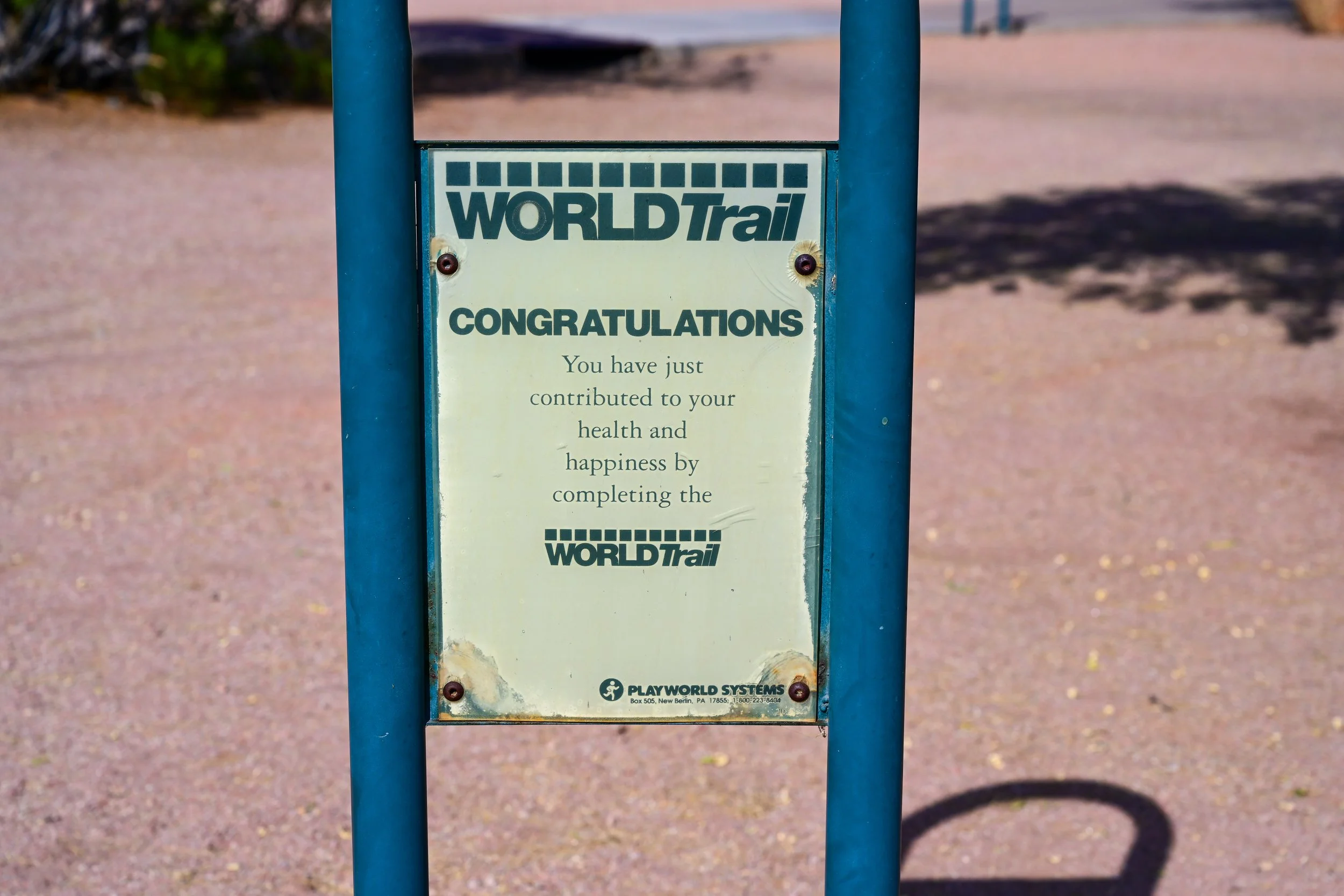
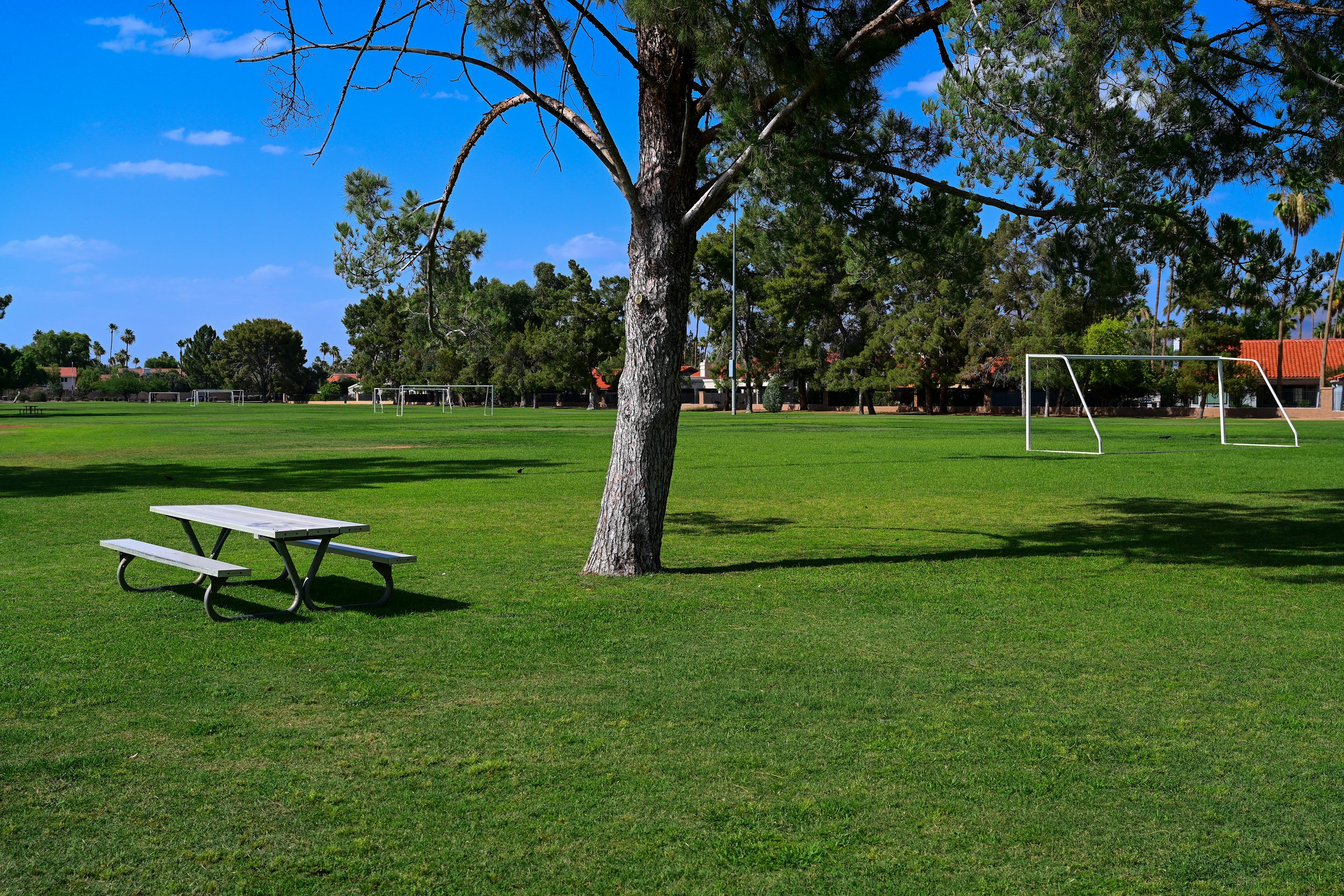
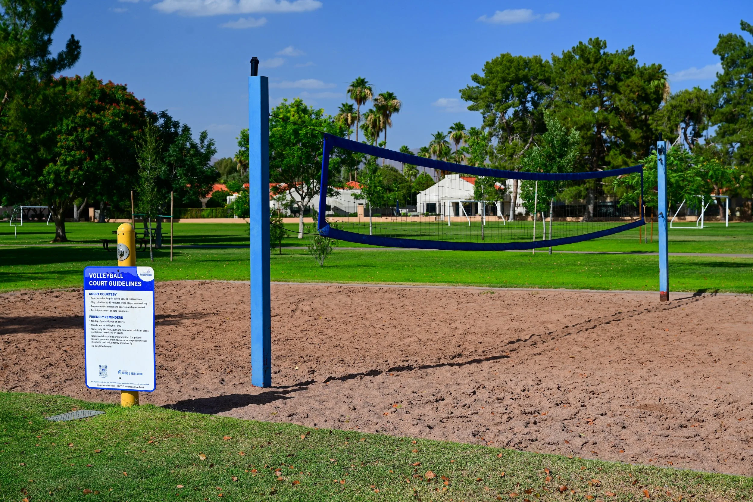
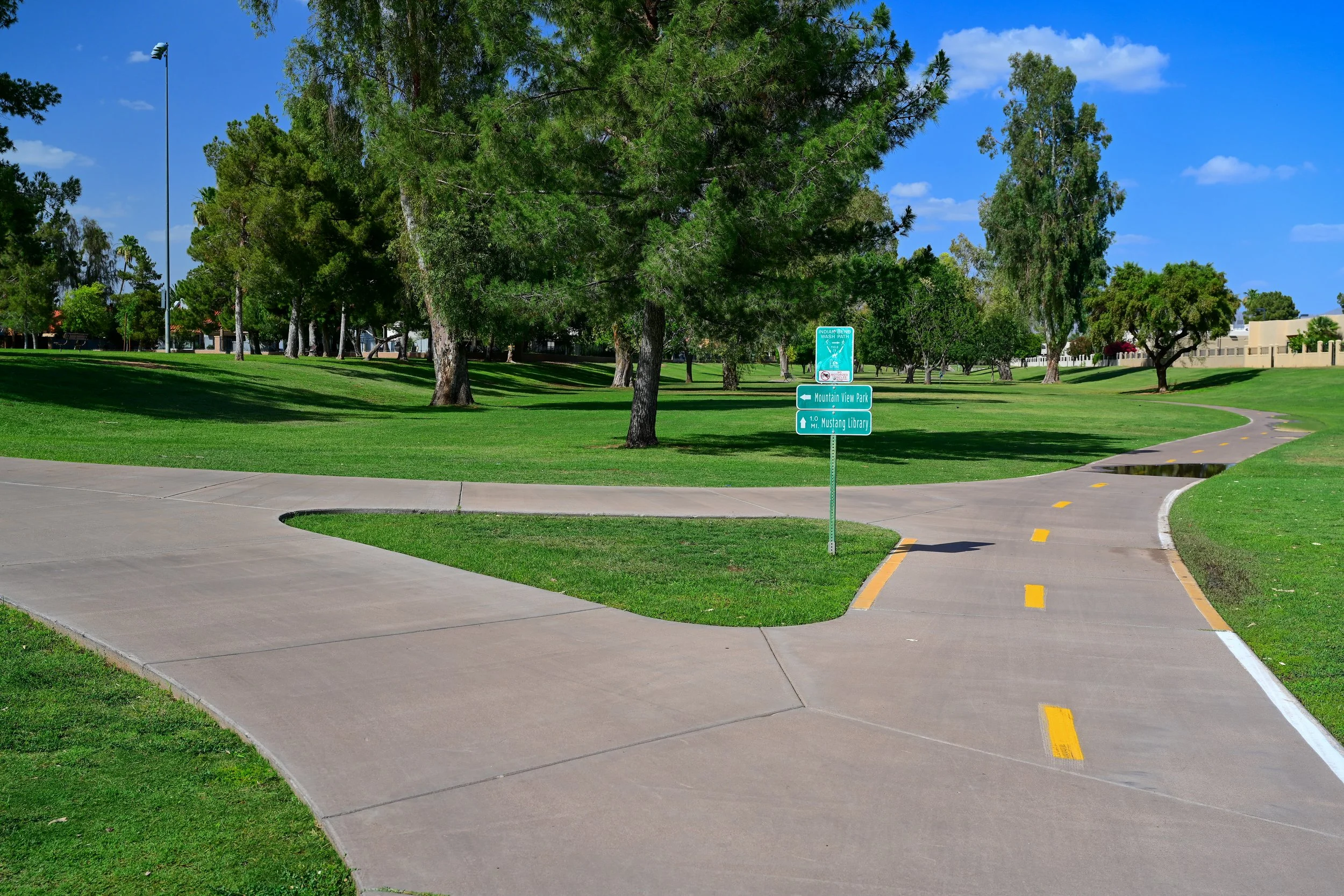
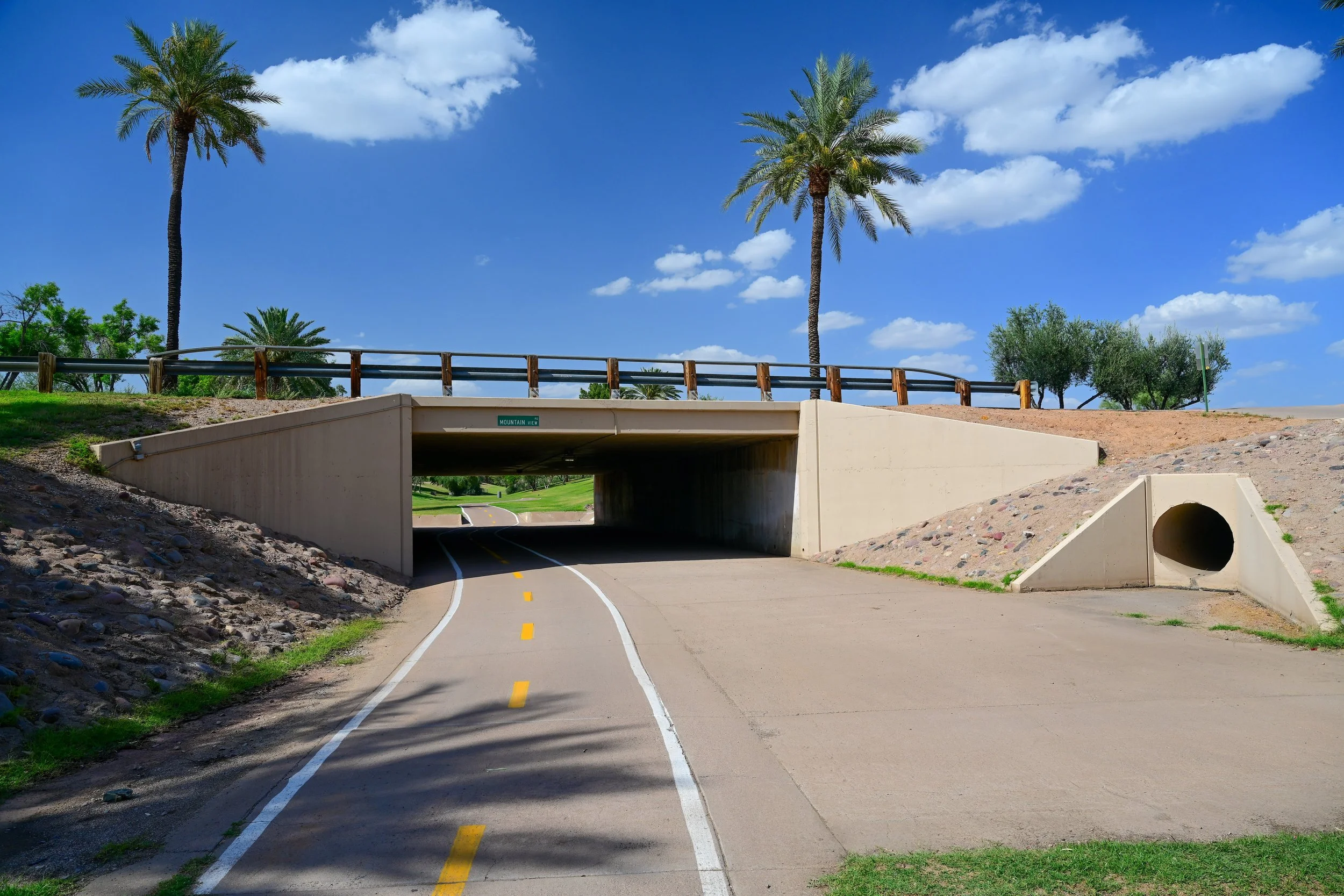
Mountain View Park is the main park destination in the Shea Boulevard section of the Greenbelt. Located at 8625 E. Mountain View Road, the park sits west of Loop 101 and near the Indian Bend Wash trail corridor.
For people using the Greenbelt, Mountain View Park is one of the best access points in this area. It offers parking, open fields, family-friendly amenities, and a clear connection to the surrounding path network. The park is especially useful for visitors who want to start near Shea Boulevard but avoid beginning directly on a busy road.
Mountain View Park Amenities
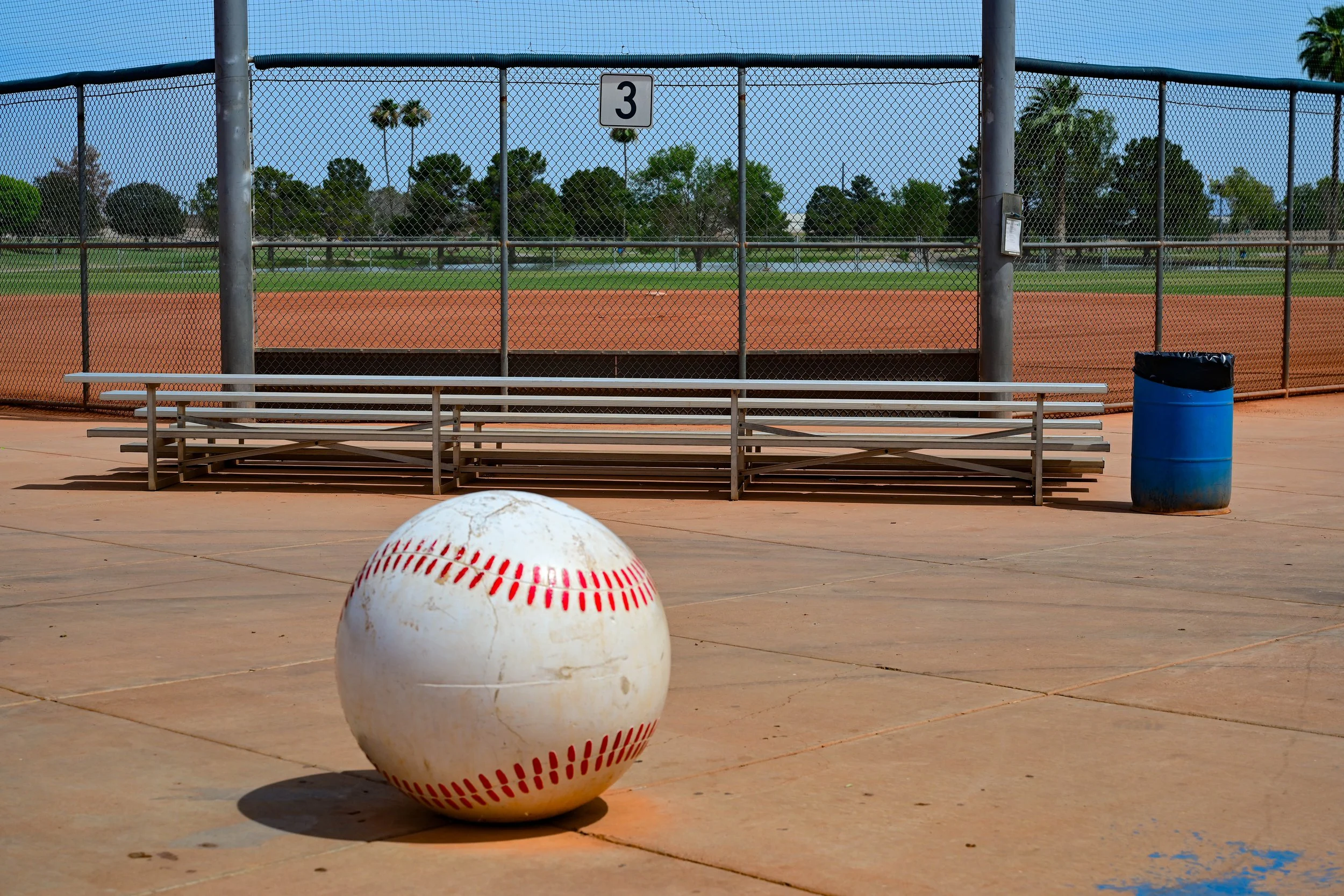
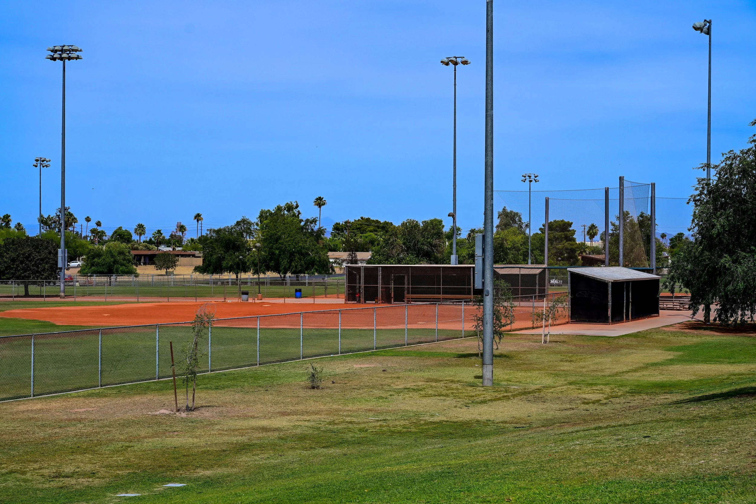
⚾ Baseball Field
🛝 Playground
🎾 Tennis Courts
⚽ Soccer Field
🏐 Volleyball Court
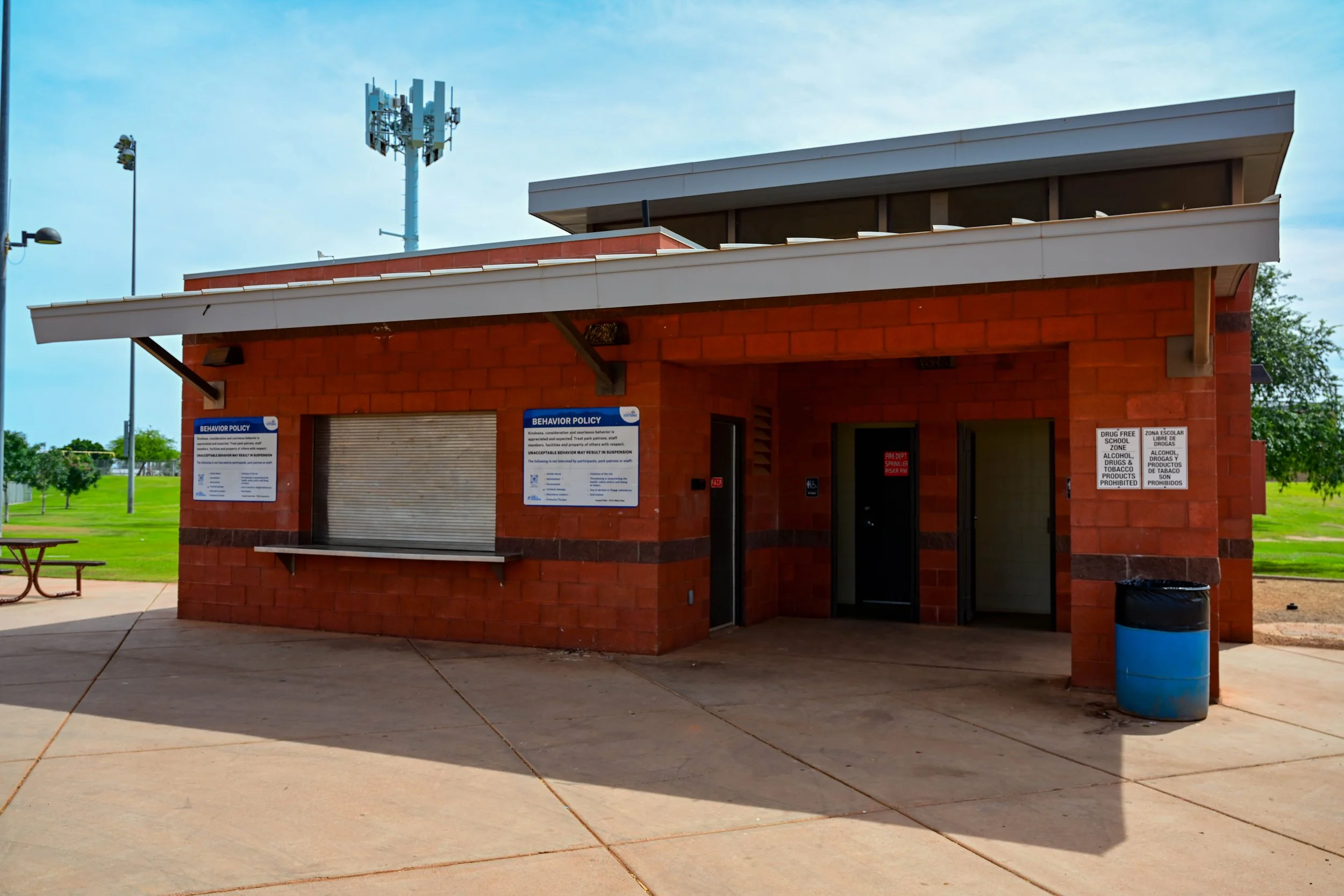
🏛️ Community Center
🅿️ Parking
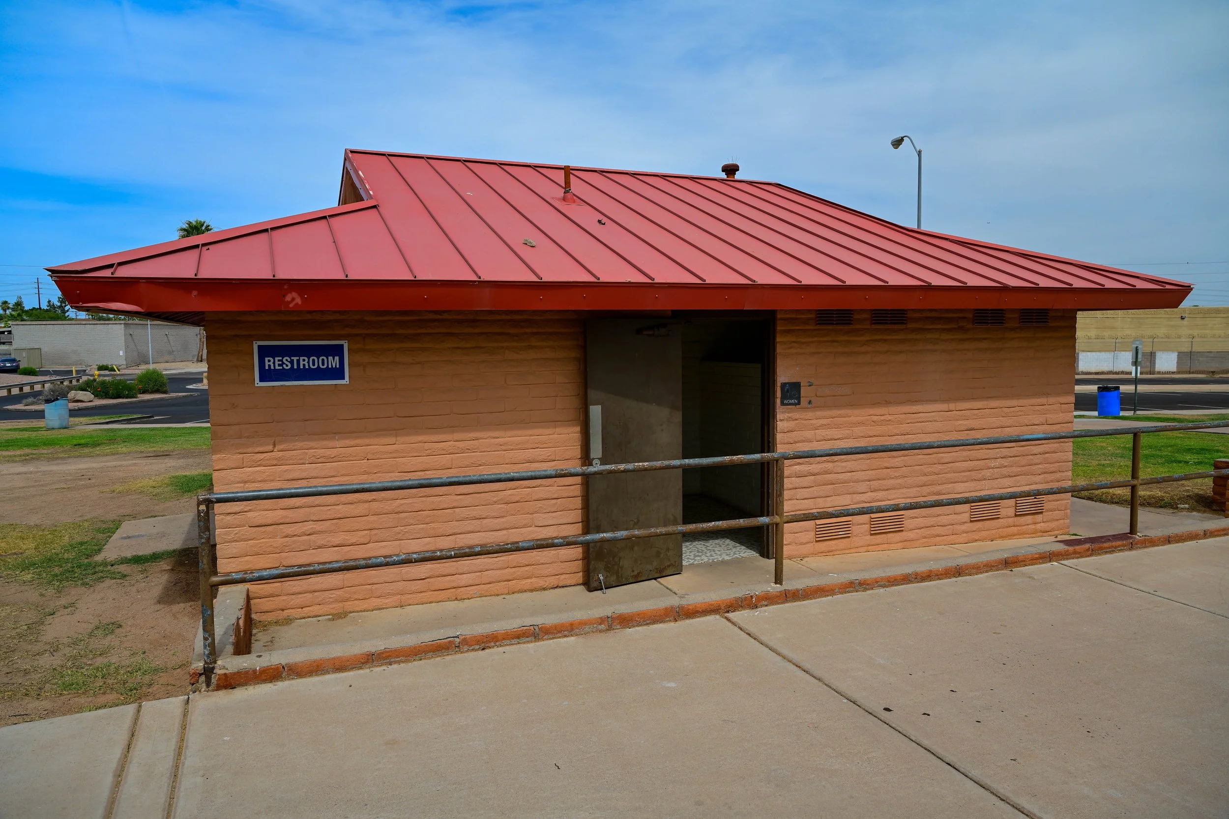
🚻 Restrooms
🌳 Open Green Space
Mountain View Park History
Mountain View Park has served as a neighborhood recreation space and Greenbelt access point for decades. As Scottsdale grew around Shea Boulevard, Hayden Road, and Loop 101, the park helped preserve open space in an increasingly developed area.
Its fields, courts, playground, and community center reflect the Greenbelt’s broader purpose: land that supports recreation every day while remaining connected to the larger Indian Bend Wash corridor. Together, Mountain View Park, Mustang Library, and HonorHealth Scottsdale Shea Medical Center make the Shea area one of the most recognizable and useful sections of the Scottsdale Greenbelt.
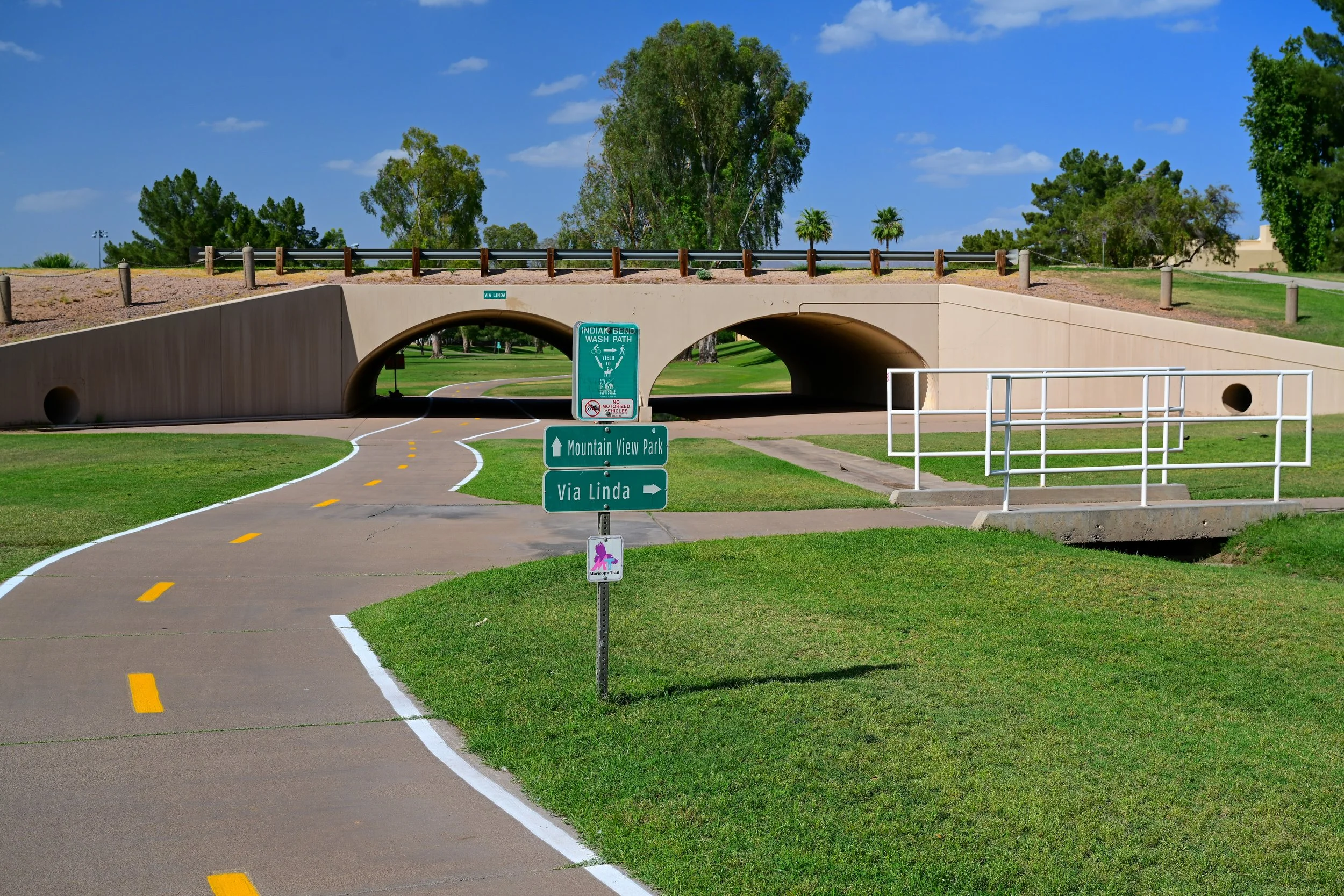
Hayden Road
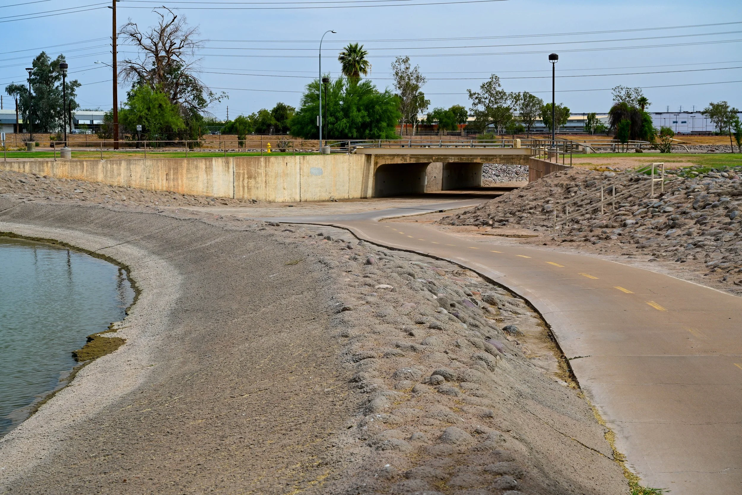
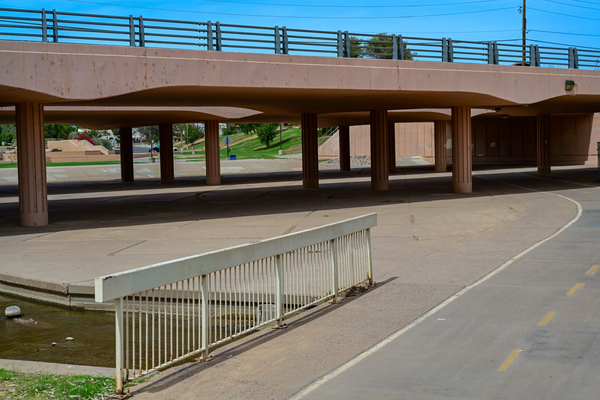
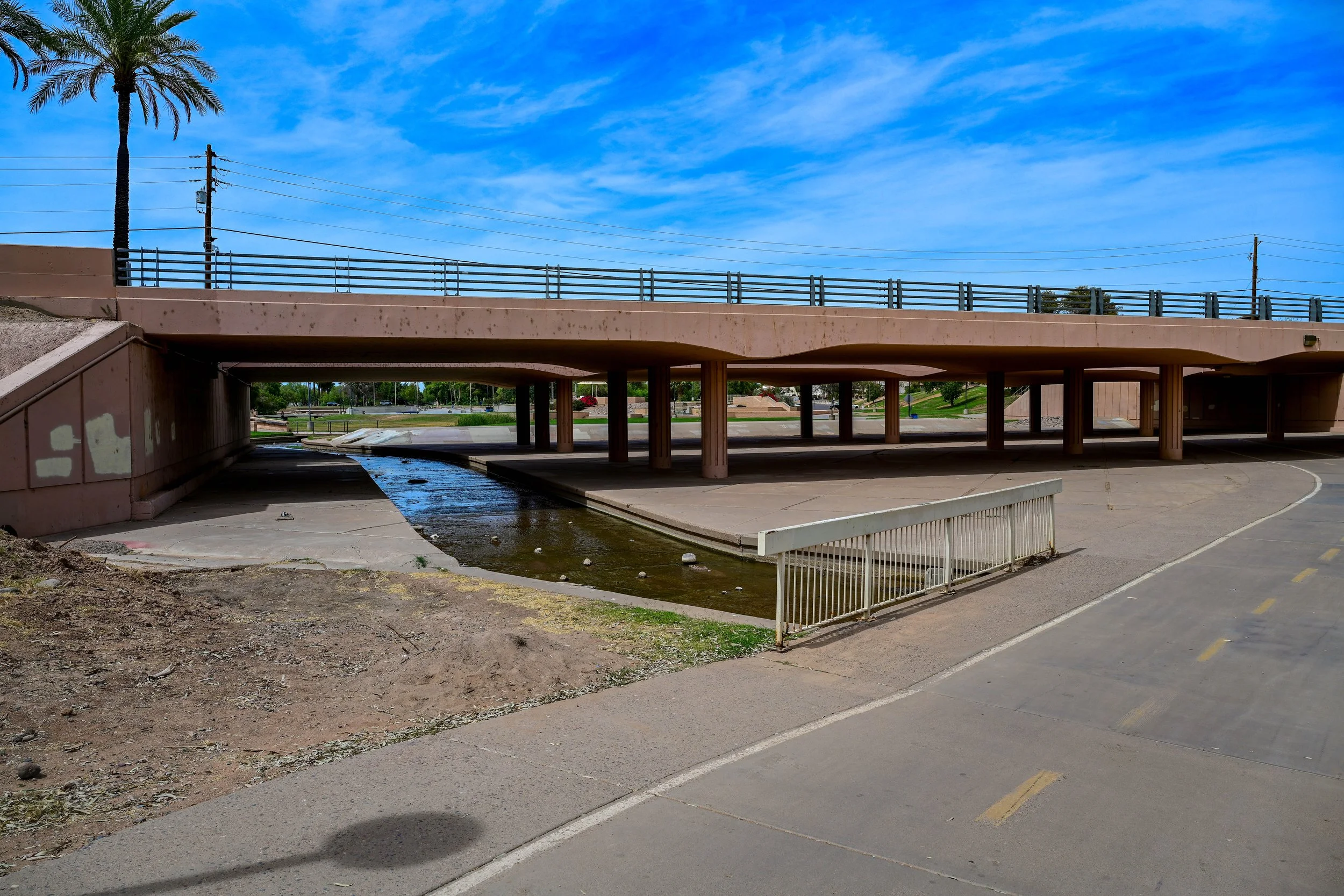
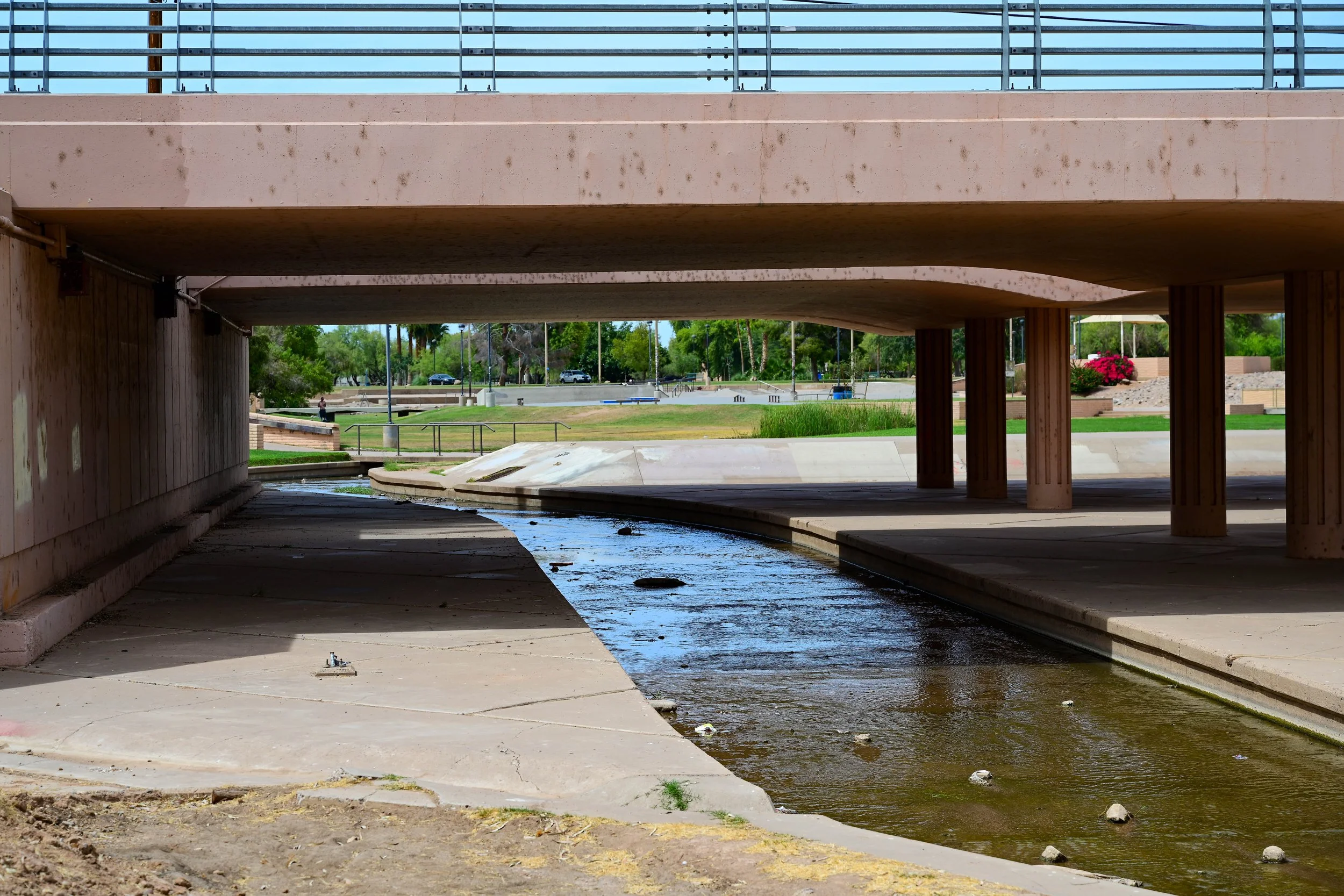
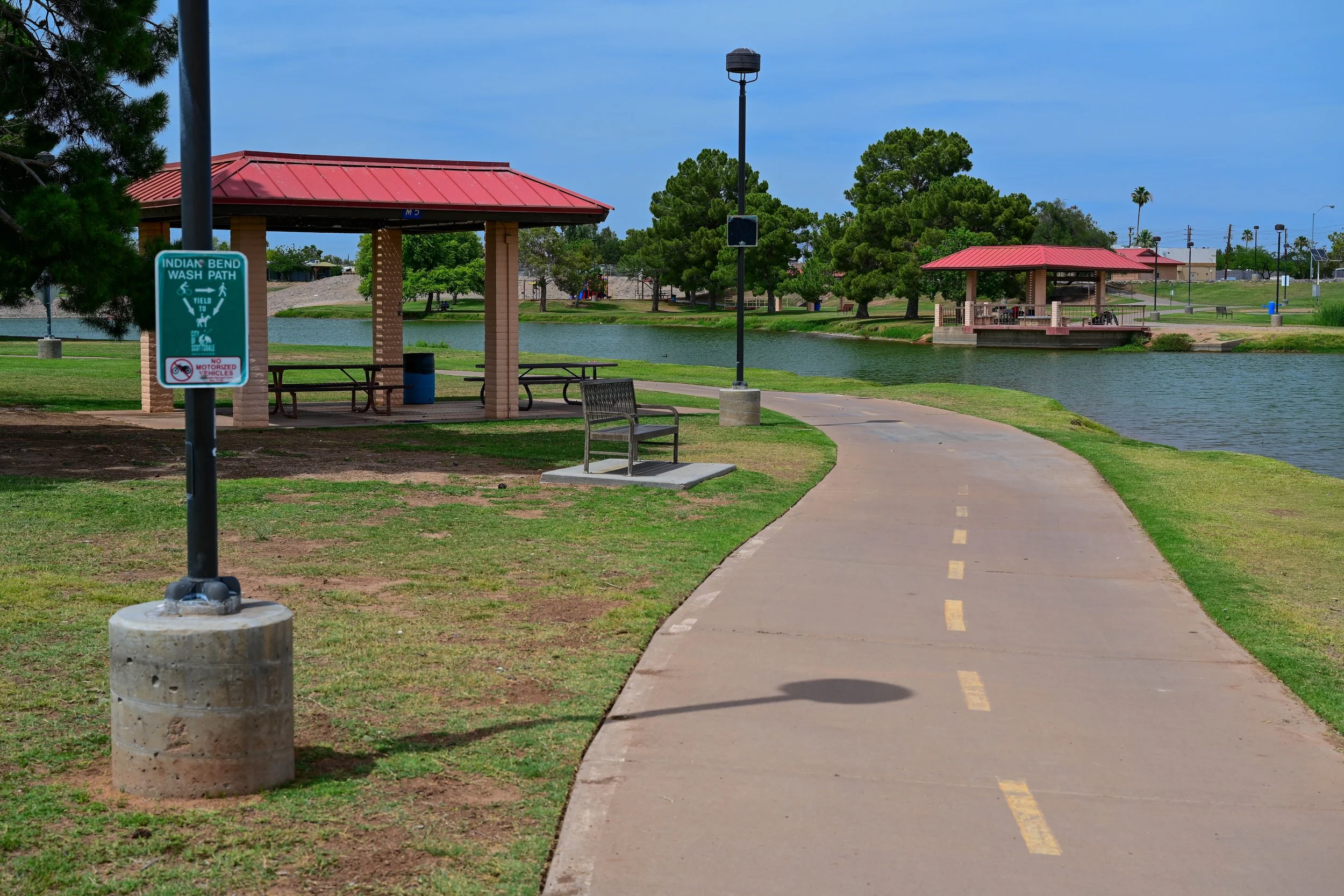
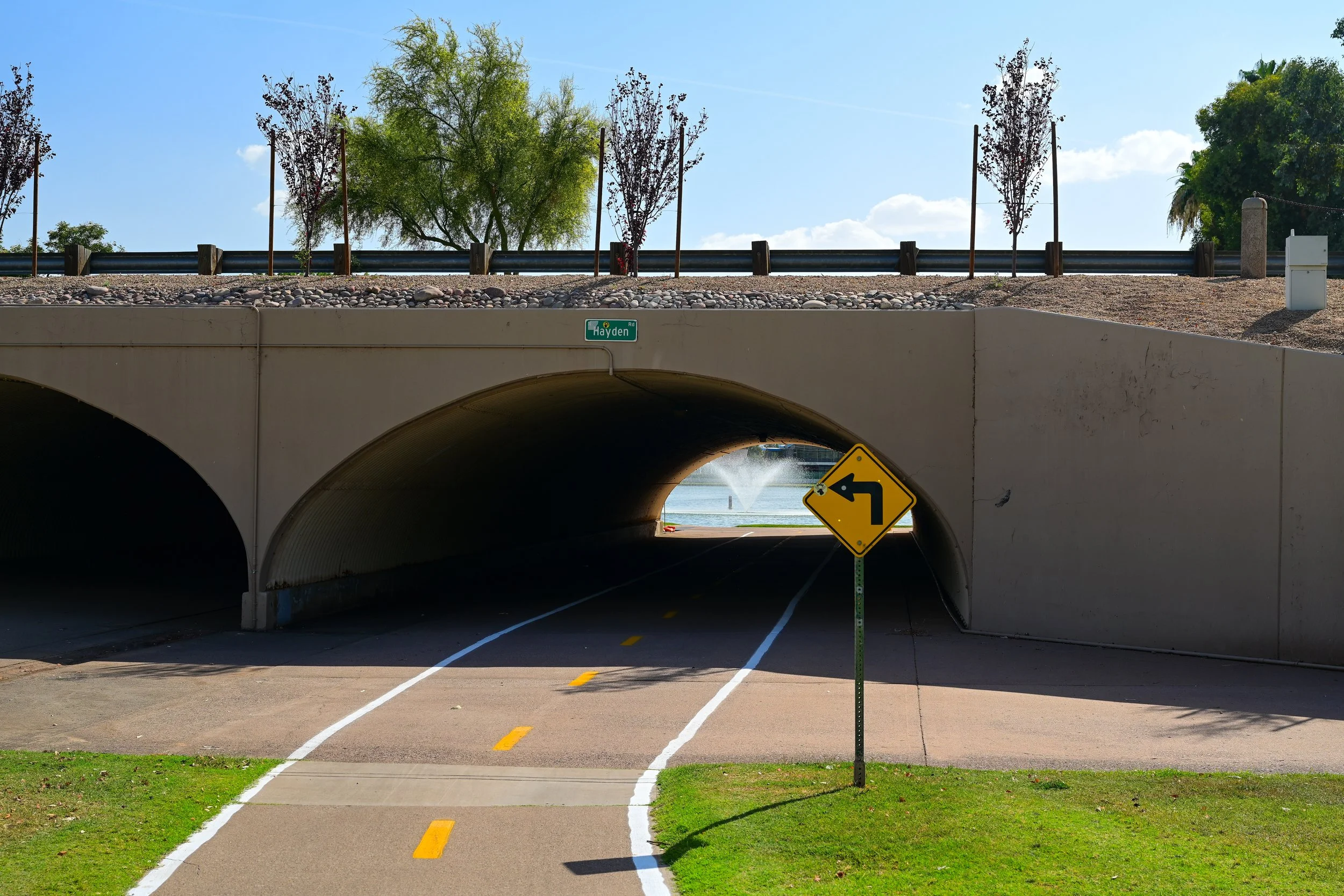
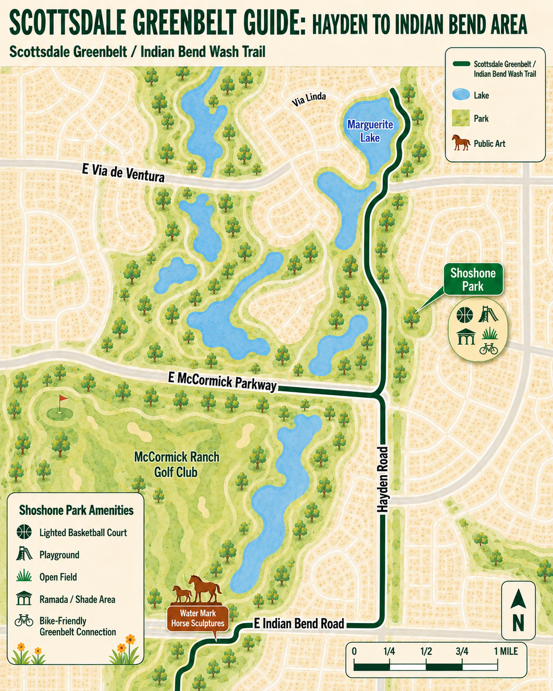
The Hayden Road to Indian Bend Road section is one of the most scenic and recognizable parts of the Scottsdale Greenbelt. This stretch connects the McCormick Ranch area, Marguerite Lake, Shoshone Park, and the Water Mark horse sculptures. It is a quieter and more residential part of the Greenbelt, with lake views, neighborhood paths, public art, and easy places to stop along the way.
For walkers, runners, and cyclists, this section offers a pleasant transition from the Shea Boulevard area toward the larger central Greenbelt attractions farther south. The route feels calm and open, with water, trees, homes, parks, and public art all woven into the Indian Bend Wash corridor.
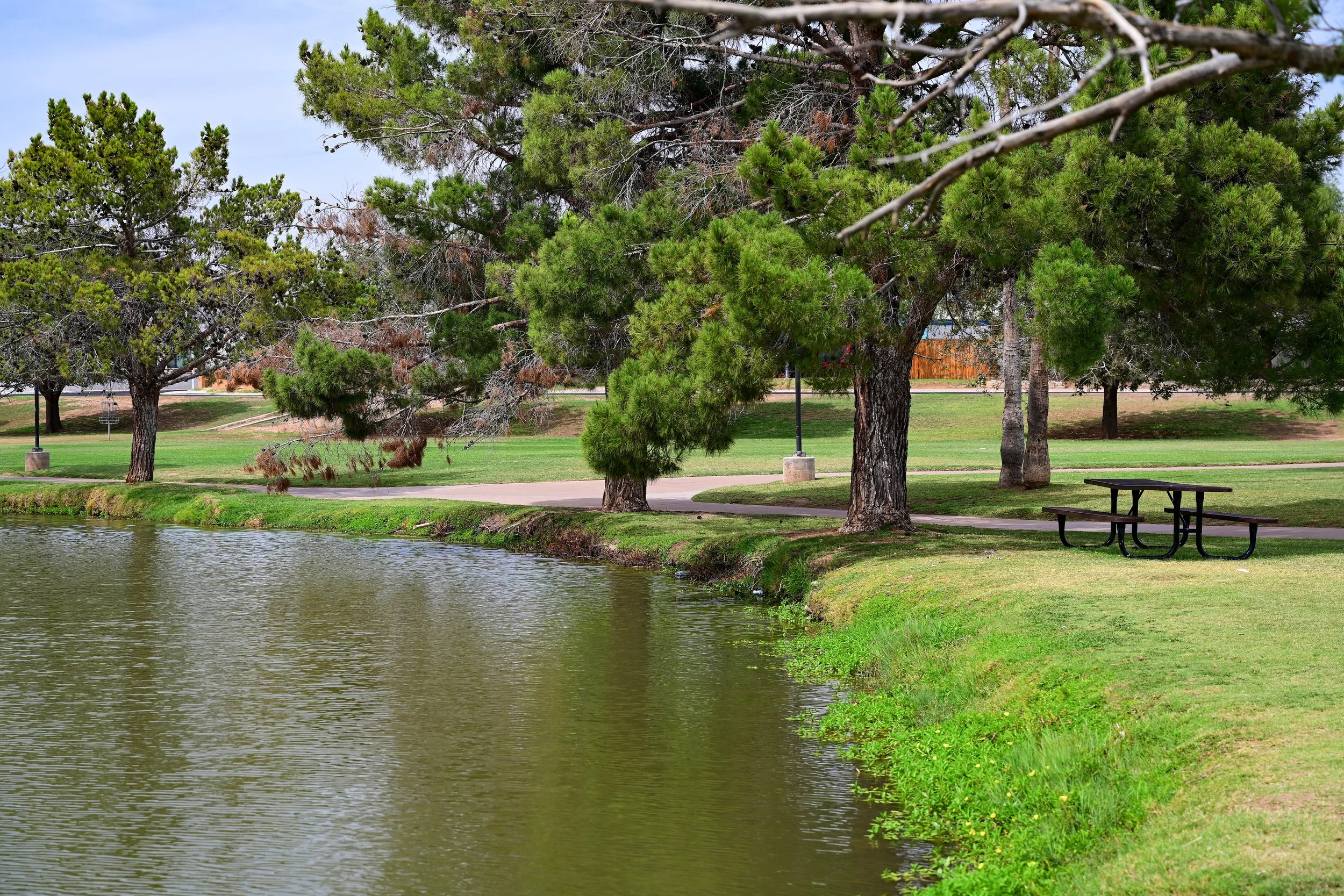
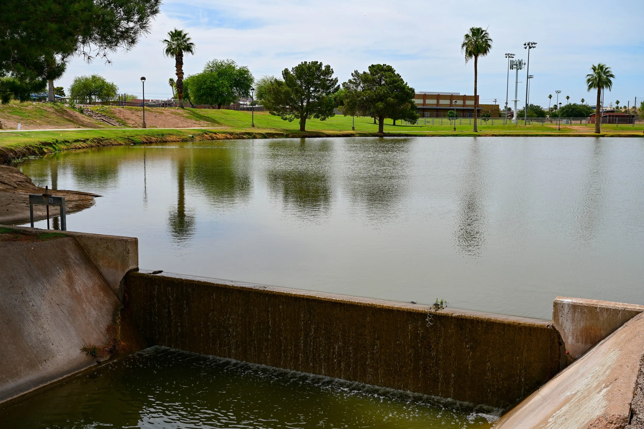
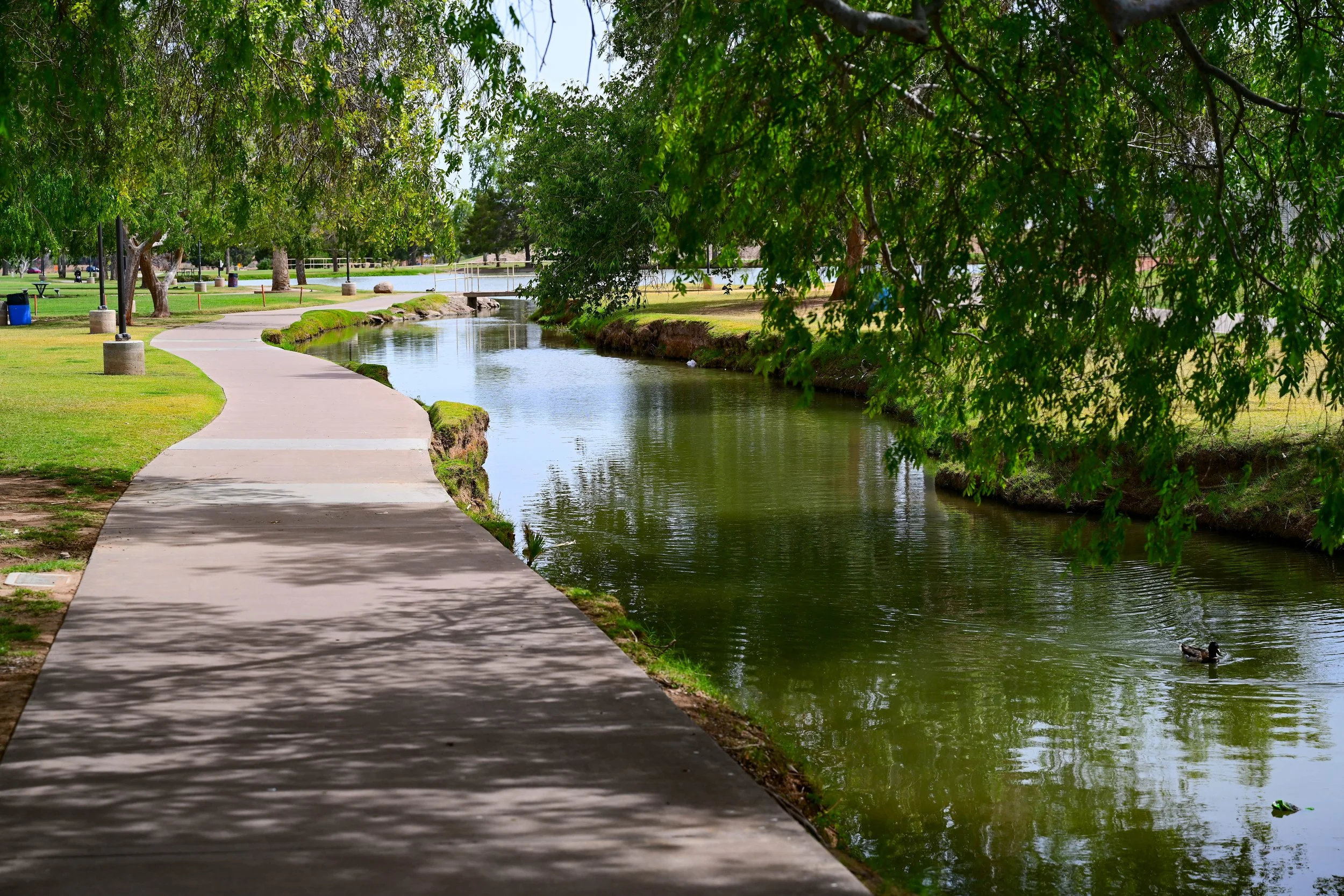
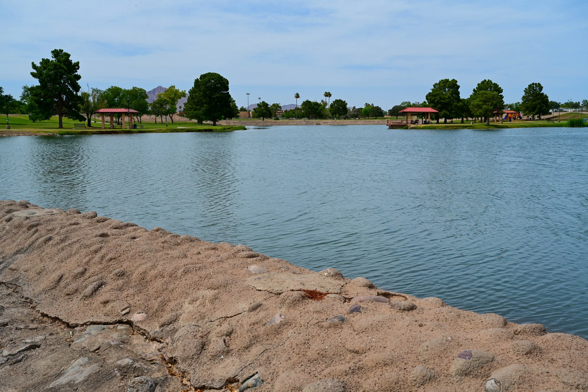
Marguerite Lake
Marguerite Lake is one of the most peaceful landmarks along this part of the Greenbelt. Located in the McCormick Ranch area, the lake helps give this section a quieter, neighborhood feel. It is surrounded by paths, homes, landscaped open space, and views that make it a popular spot for walking, biking, relaxing, and enjoying the Greenbelt at a slower pace.
The lake is part of the larger McCormick Ranch story. Once part of the historic McCormick family ranch, this area was transformed in the 1970s into one of Scottsdale’s first major master-planned communities. Marguerite Lake reflects that blend of recreation, residential design, and open space. It is not just a decorative lake. It helps create the calm, green character that makes this portion of the Greenbelt feel so different from the surrounding roads and development.
For visitors, Marguerite Lake is a great visual stop between Hayden Road and Indian Bend Road. It offers a scenic break along the route and helps show why the Greenbelt is more than just a trail. It is a connected landscape of water, parks, neighborhoods, and public space.
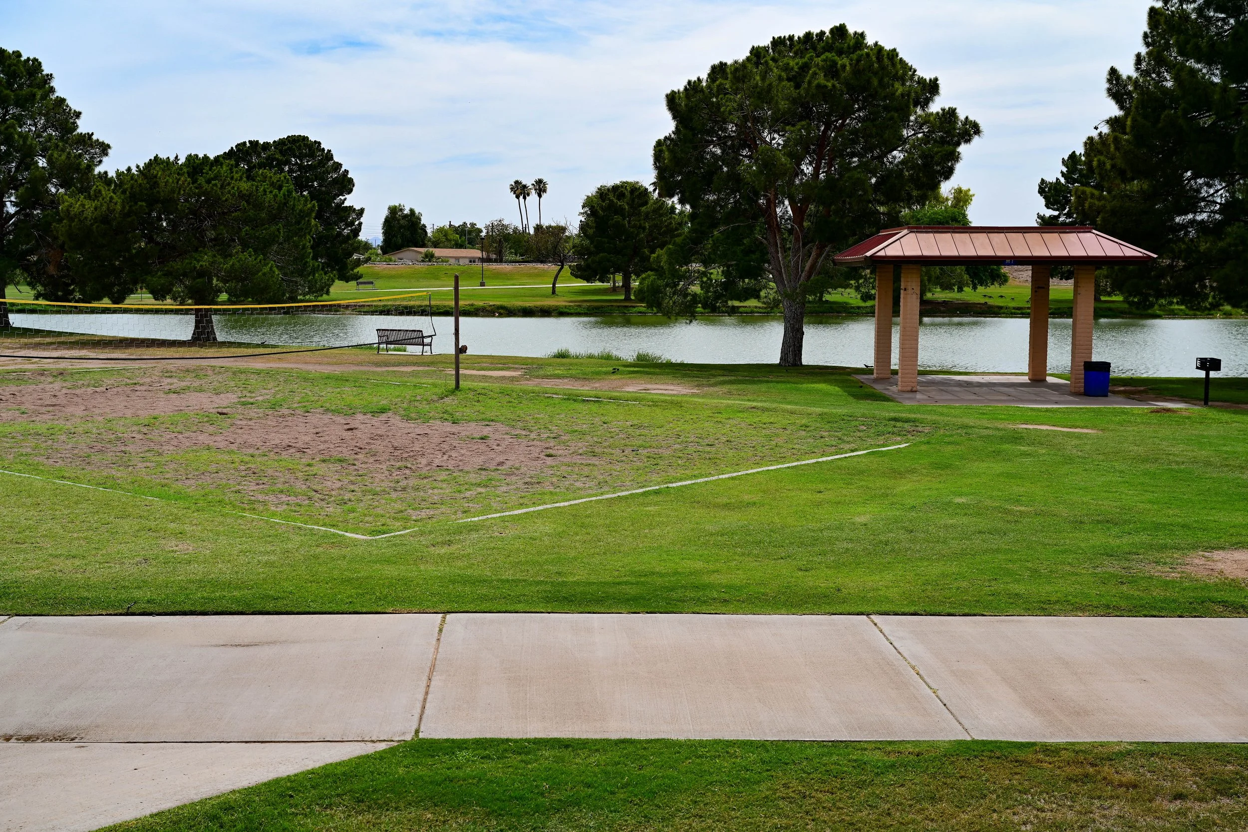
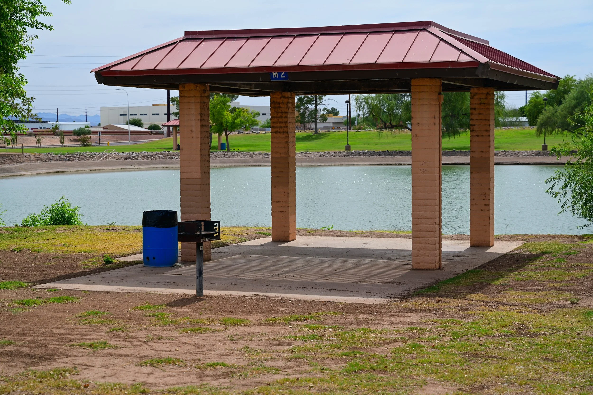
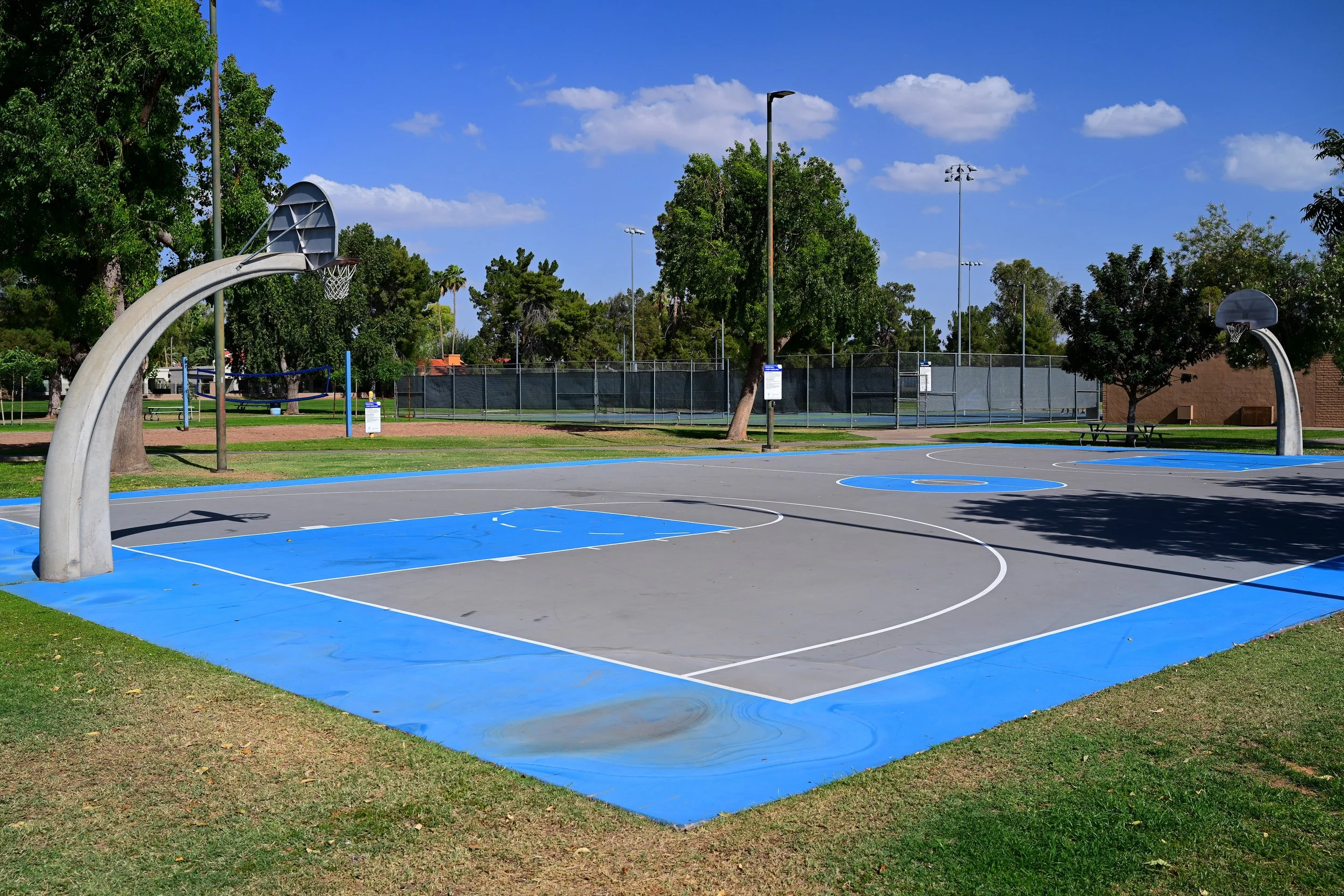
Shoshone Park is a small neighborhood park tucked into the Greenbelt corridor near the McCormick Ranch area. It is quieter than some of the larger parks along the Greenbelt, which makes it a nice stop for families, casual walkers, and nearby residents.
The park offers a simple and useful mix of recreation space. Its lighted basketball court, playground, ramada, and open field make it easy to use without feeling crowded or overwhelming. It is a good place to pause during a walk or bike ride, let kids play, or enjoy a short neighborhood park visit.
Shoshone Park Amenities
🏀 Lighted Basketball Court
🛝 Playground
🌳 Open Field
🏕️ Ramada / Shade Area
🚶 Walking Access
🚲 Bike-Friendly Greenbelt Connection
Shoshone Park History
Shoshone Park was developed as part of Scottsdale’s broader effort to place neighborhood parks and open space within easy reach of residents. While it is smaller than major Greenbelt parks such as Chaparral Park or Eldorado Park, that is part of its appeal. It serves as a comfortable local stop within the larger Indian Bend Wash system.
The park reflects one of the Greenbelt’s most important ideas: not every section needs to be large or dramatic to be valuable. Smaller neighborhood parks like Shoshone help connect residents to the trail, provide everyday recreation, and make the Greenbelt feel accessible block by block.
Indian Bend Wash Horse Sculptures: Water Mark
One of the most memorable landmarks in this section is Water Mark, the public art installation often recognized as the Indian Bend Wash horse sculptures. Installed in 2010, Water Mark was created by artists Laura Haddad and Tom Drugan and features five large rust-colored steel horses placed within the wash.
The sculptures are more than decorative. During flood events, the horses are designed to release water from their mouths, turning the artwork into a visible reminder that the Greenbelt is still an active flood-control system. On normal days, the horses appear to be standing or wading in the landscape. During storms, they help reveal the hidden purpose of the wash.
Water Mark connects several parts of Scottsdale’s identity at once: the city’s equestrian heritage, its history of seasonal flooding, and its creative approach to public infrastructure. It is one of the best examples of how the Greenbelt blends engineering, art, recreation, and local history into one public space.
What Makes This Section Special
The Hayden Road to Indian Bend Road section is less about large sports complexes and more about scenery, neighborhood access, and the feeling of moving through a designed green corridor. Marguerite Lake adds water and views. Shoshone Park adds a quiet family-friendly stop. Water Mark adds public art and historical meaning.
Together, these features make this stretch one of the most enjoyable parts of the Greenbelt for a relaxed walk, casual bike ride, or short local outing. It is a section where the Greenbelt’s larger purpose is easy to see: a flood-control corridor that also became a beautiful and useful part of everyday Scottsdale life.
Indian Bend Road
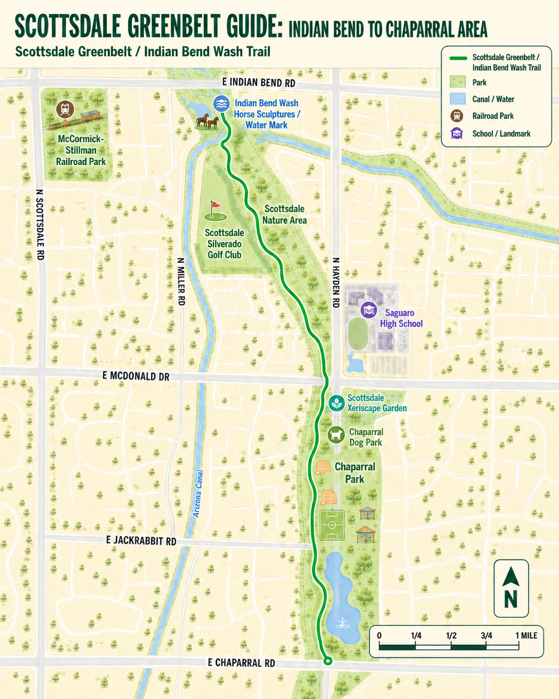
The Indian Bend Road to Chaparral Road area is one of the most active and family-friendly stretches near the Scottsdale Greenbelt. This section brings together some of Scottsdale’s best-known community destinations, including McCormick-Stillman Railroad Park, Chaparral Park, the Scottsdale Xeriscape Garden, the Arizona Canal, and Saguaro High School.
For visitors, this part of the Greenbelt feels especially varied. One stop might be a train ride or carousel at McCormick-Stillman Railroad Park. A short distance away, Chaparral Park offers sports fields, a lake, a dog park, a playground, an aquatic center, and a shaded garden focused on desert-friendly landscaping. It is a great section for families, walkers, runners, cyclists, students, dog owners, and anyone looking for a mix of recreation and Scottsdale history.
McCormick-Stillman Railroad Park
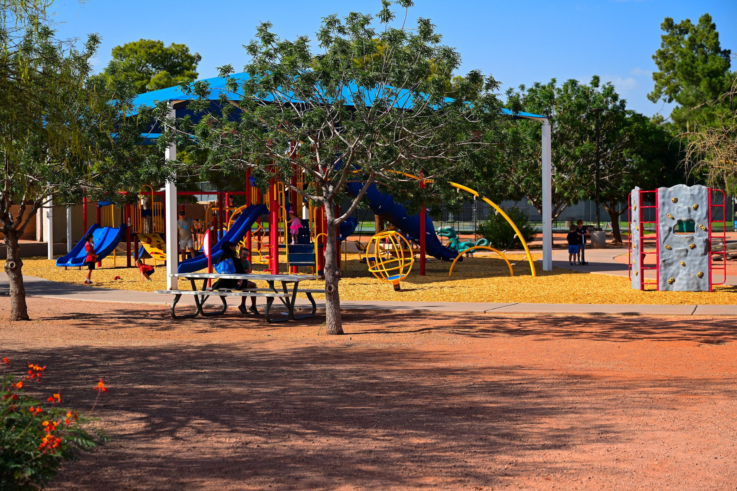
McCormick-Stillman Railroad Park is one of Scottsdale’s most unique and beloved parks. Located at 7301 E. Indian Bend Road, the park is operated by the City of Scottsdale and sits on 30 acres in the heart of the city. It is widely known for its train rides, carousel, model railroads, museum exhibits, playgrounds, picnic areas, and special events.
The park’s signature attraction is the Paradise & Pacific Railroad, a rideable miniature train that carries visitors through the park. The park also features a 1950-vintage Allan Herschell carousel, the Scottsdale Railroad Museum, a large Model Railroad Building, historic rail cars, shops, play spaces, and shaded lawns. For families, it is one of the easiest places in Scottsdale to spend a full afternoon.
McCormick-Stillman Railroad Park Amenities
🚂 Train Rides
🚃 Historic Rail Cars
🎠 Carousel
🛤️ Model Railroad Exhibit
🏛️ Scottsdale Railroad Museum
🛝 Playgrounds
🧺 Picnic Areas
🌳 Open Green Space
🎉 Special Events
McCormick-Stillman Railroad Park History
The park’s history is closely tied to the McCormick family and Scottsdale’s growth. In 1967, Fowler McCormick donated land from McCormick Ranch to the City of Scottsdale for public park use. Railroad enthusiast Guy Stillman later brought his Paradise & Pacific Railroad to the site, helping shape the park’s identity as a railroad-themed public attraction.
McCormick-Stillman Railroad Park officially opened in 1975. Over time, it became one of Scottsdale’s most recognizable family destinations. What began with a private rail collection and donated land grew into a rare city-operated railroad park that combines local history, transportation history, recreation, and family entertainment.
The Arizona Canal is another important landmark in this area. Built in the late 1800s, the canal became a major part of the Salt River Project system and helped move water across the Phoenix and Scottsdale area. Long before modern Scottsdale, canals shaped how people farmed, settled, and developed land in the Salt River Valley.
Near the Greenbelt, the Arizona Canal adds another layer to the water story. The Indian Bend Wash Greenbelt was built to manage stormwater and flooding, while the Arizona Canal reflects the region’s long effort to bring irrigation and reliable water to desert communities. Together, they show how much Scottsdale’s growth has depended on understanding and managing water.
The Scottsdale Xeriscape Garden at Chaparral Park is one of the best places along the Greenbelt to see how desert landscaping can be both beautiful and water-conscious. Located at 8111 E. McDonald Drive, the garden is a six-acre educational landscape with more than 7,000 Arizona-friendly plants and 200 plant species. It also sits over a buried six-million-gallon reservoir connected to the adjacent Chaparral Water Treatment Plant.
The garden is designed to teach visitors about water conservation, Arizona-friendly plants, tree selection, water harvesting, and sustainable outdoor design. It is a quiet and shaded place to explore, and it fits perfectly with the Greenbelt’s larger story: living with water wisely in the desert.
Chaparral Park is one of the largest and most diverse parks along the Scottsdale Greenbelt. Located at 5401 N. Hayden Road, the park includes sports fields, a lake, a community center, an aquatic center, a popular dog park, an inclusive playground, walking paths, open lawns, and the Scottsdale Xeriscape Garden.
This is one of the best all-around recreation stops in the Greenbelt system. Families use the playground and lake. Athletes use the fields and courts. Swimmers use the aquatic center. Dog owners use the three-acre Chaparral Dog Park, which includes grass, benches, play features, water fountains, and separate rotating areas for maintenance and different dog activity levels.
The park’s inclusive playground is another major feature. Scottsdale describes the playground as designed for all users, with accessible surfacing and play features that support different ages and abilities. That makes Chaparral Park especially welcoming for families with children who have different mobility, sensory, or developmental needs.
Chaparral Park Amenities
🥎 Softball & Baseball Fields
⚽ Soccer & Training Fields
🏊 Aquatic Center
🏀 Basketball Court
🏛️ Community Center
🎣 Lake / Fishing Area
🛝 Inclusive Playground
🏃 Walking / Workout Loop
🌵 Scottsdale Xeriscape Garden
🐕 Chaparral Dog Park
🌳 Open Green Space
Chaparral Park History
Chaparral Park developed as Scottsdale expanded its park system and recreational offerings through the late 20th century. Its large open layout, lake, fields, and community facilities made it one of the Greenbelt’s most heavily used public spaces.
The park also reflects how the Greenbelt evolved over time. It is not just a drainage corridor. It is a complete community park system, with sports, water, gardens, dog-friendly space, accessibility features, and neighborhood connections all layered into the same landscape.
Saguaro High School is another recognizable landmark near this section of the Greenbelt. Located at 6250 N. 82nd Street, Saguaro is part of the Scottsdale Unified School District and serves grades 9 through 12. The school opened in 1966, and its campus includes a mix of traditional buildings, later rebuilds, and a newer Innovation Center completed in 2020.
For the Greenbelt guide, Saguaro High School helps orient visitors in the Chaparral Park area. It also reflects how closely the Greenbelt is tied to everyday Scottsdale life. Parks, schools, canals, trails, and neighborhoods all sit close together here, making this section feel less like a single destination and more like a connected community corridor.
ChaparRal Road
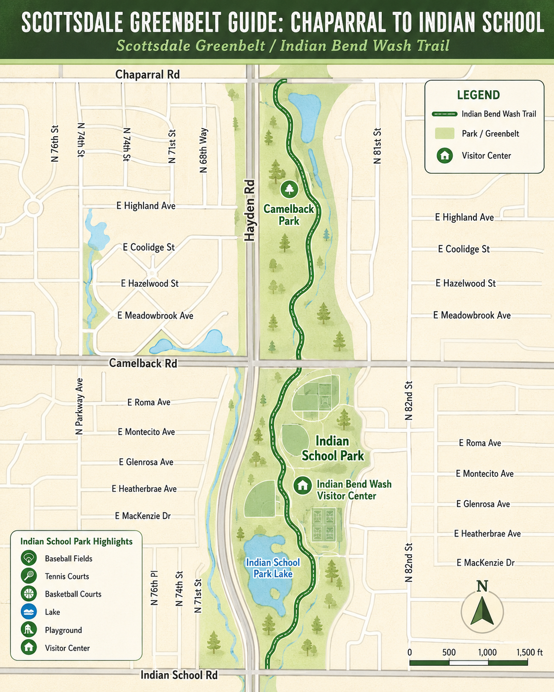
The Chaparral Road to Indian School Road section is where the Greenbelt begins to shift from the large, lake-centered landscape of Chaparral Park into a more neighborhood-focused recreation corridor. This stretch connects Camelback Park, Indian School Park, the Indian School Park Tennis Center, and the Indian Bend Wash Visitor Center.
For walkers, runners, cyclists, and families, this area offers a mix of quieter open space and active sports facilities. Camelback Park provides a calmer stop along the route, while Indian School Park is one of the busiest recreation destinations in the Greenbelt system.
Camelback Park is a peaceful Greenbelt park located at 4707 N. Hayden Road. It sits along the Indian Bend Wash corridor and offers a quieter experience than some of the larger sports-heavy parks nearby. The park is a good stop for walking, relaxing, enjoying open green space, or taking a break while moving between Chaparral Park and Indian School Park.
Compared with Indian School Park to the south, Camelback Park feels more low-key. Its value is in its simplicity: paths, green space, shade, and a softer neighborhood feel within the larger Greenbelt system.
Camelback Park Amenities
🚶 Walking Paths
🌳 Open Green Space
🧺 Picnic Areas
🛋️ Quiet Rest Areas
🚲 Bike-Friendly Greenbelt Connection
Camelback Park History
Camelback Park was designed as a quieter retreat within the Indian Bend Wash Greenbelt. While larger parks nearby focus on organized sports, tennis, and community facilities, Camelback Park helps preserve the Greenbelt’s calmer side.
It serves as a scenic transition between Chaparral Park and Indian School Park, giving visitors a place to enjoy the landscape without needing a major sports complex or event space.
Indian School Park & Tennis Center
Indian School Park & Tennis Center is one of the major recreation hubs along the Scottsdale Greenbelt. Located at 4289 N. Hayden Road, the park includes a large mix of sports courts, fields, recreation facilities, lake space, playgrounds, and community-use areas.
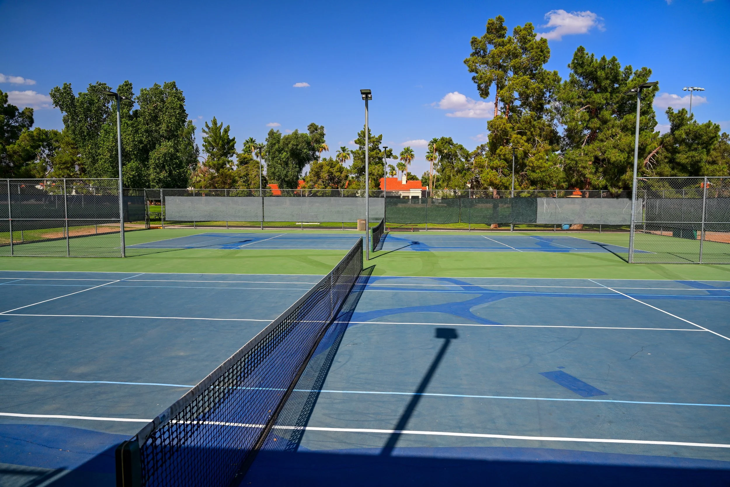
The Tennis Center is one of the park’s signature features. Scottsdale describes it as offering adult tennis leagues, Cardio Tennis, group and private lessons for juniors, adults, and seniors, ball machine rentals, tournaments, and drop-in doubles play. The center includes 13 rebuilt post-tension concrete tennis courts with blue and green playing surfaces and blended lines for junior instruction. The facility has also been recognized by the USTA Southwest Section.
Indian School Park is also closely tied to the broader Greenbelt story. Its facilities sit within the same flood-control and recreation corridor that transformed Indian Bend Wash from a hazard into a public amenity. The park gives this section of the Greenbelt a strong active-recreation identity, especially for tennis players, families, youth sports, and league play.
Indian School Park Amenities
⚾ Baseball Fields
🎾 Tennis Courts
🏀 Basketball Courts
🟫 Bocce Ball Courts
🔲 Shuffleboard Courts
🏸 Racquetball Courts
🛼 Skate Pad
🏐 Sand Volleyball Courts
🛝 Playground
🎣 Lake / Fishing Area
🏛️ Indian Bend Wash Visitor Center
🚶 Walking Paths
🚲 Bike-Friendly Greenbelt Connection
Indian Bend Wash Visitor Center
The Indian Bend Wash Visitor Center is located at 4201 N. Hayden Road inside the Indian School Park area. Today, Scottsdale lists the building as one of the locations for Youth and Family Services, but for Greenbelt users it remains an important named landmark within Indian School Park.
The name also connects directly to the larger story of the Greenbelt. Indian Bend Wash was once one of Scottsdale’s biggest flood-control challenges. The park and visitor center area help mark the point where the Greenbelt is not just a trail, but a major civic project with history, recreation, and public services all layered together.
Indian School Park History
Indian School Park developed as part of Scottsdale’s larger effort to turn the Indian Bend Wash corridor into a multi-use public landscape. Instead of leaving the wash as unused flood-prone land, Scottsdale built a connected system of parks, fields, paths, courts, lakes, and community facilities.
Over time, Indian School Park became one of the Greenbelt’s most active recreation areas. Its tennis center, fields, courts, playground, lake, and visitor center made it a year-round destination for leagues, lessons, tournaments, families, and everyday park users.
What Makes This Section Special
This section works because it offers two different Greenbelt experiences close together. Camelback Park gives the route a quieter, more relaxed feel. Indian School Park brings the energy of sports, tennis, courts, fields, playgrounds, and community programs.
Together, they make the Chaparral Road to Indian School Road stretch one of the most useful parts of the Greenbelt for both casual visitors and active recreation users.
Indian School Road
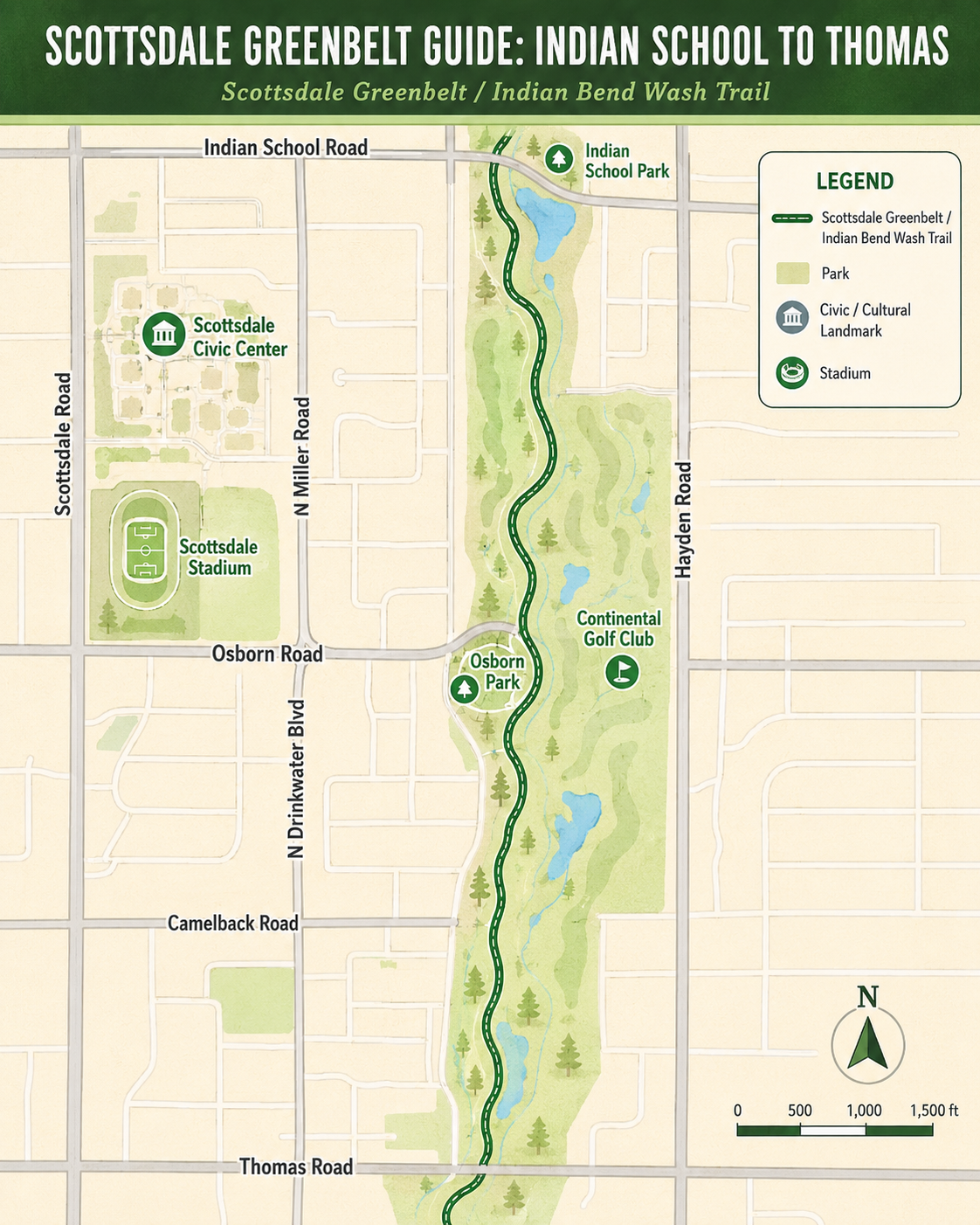
The Indian School Road to Thomas Road section is where the Greenbelt begins to feel more connected to Old Town Scottsdale. This stretch links neighborhood parks, downtown civic spaces, cultural landmarks, public art, museums, libraries, and community gathering areas.
For walkers, runners, cyclists, families, and visitors, this section offers a different kind of Greenbelt experience. It is less about large sports fields and more about access to Scottsdale’s civic and cultural core. Osborn Park provides a quieter neighborhood stop, while the Scottsdale Civic Center area brings together some of the city’s most important public spaces and arts destinations.
Osborn Park is a small but valuable neighborhood park near the heart of Scottsdale. Located at 7775 E. Osborn Road, the park offers a convenient green space for families, walkers, fitness users, and nearby residents. It is the kind of park that works well for a short visit, a quick outdoor break, or a simple place to enjoy shade and open space. Scottsdale lists Osborn Park as a city park with public park hours from sunrise to 10:30 p.m.
Compared with some of the larger Greenbelt parks, Osborn Park is modest in size, but that is part of its appeal. It gives this section of Scottsdale a calmer neighborhood feel and offers a practical stop between the busier recreation areas to the north and the Civic Center/Old Town area to the south.
Osborn Park Amenities
🌳 3 Acres of Open Space
🛝 Playground
🧺 Picnic Tables
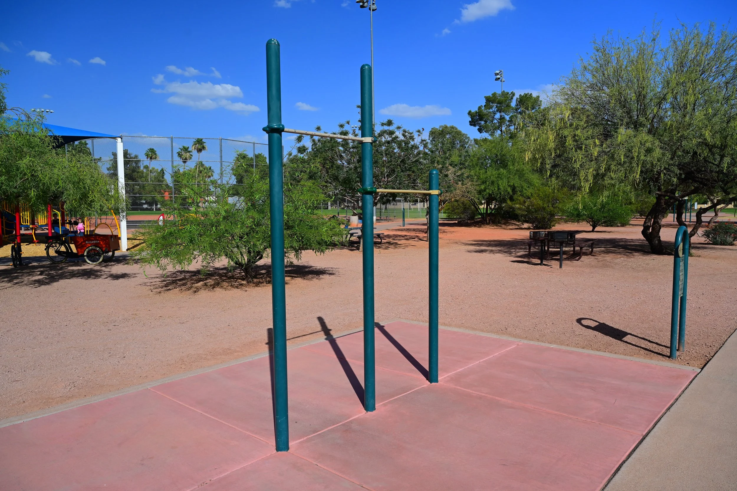
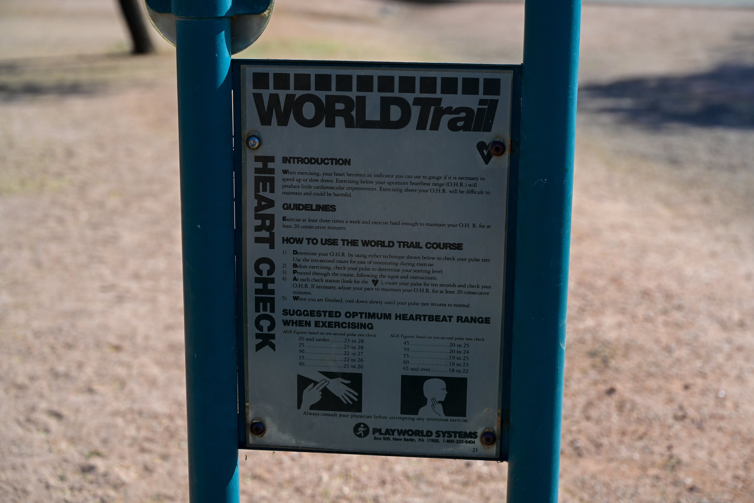
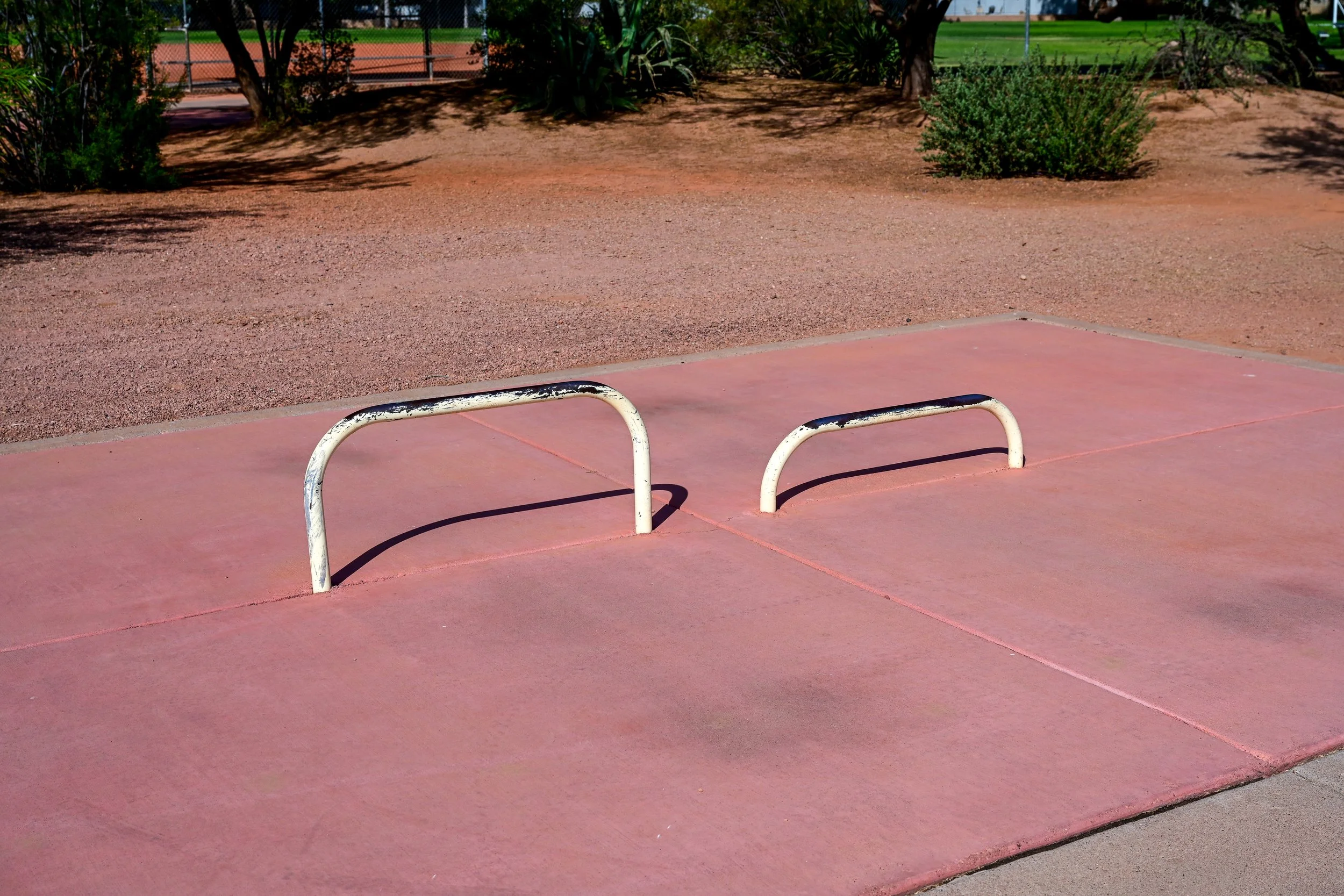
🏃 Exercise Course
🚶 Walking Access
🧘 Quiet Green Space
Osborn Park History
Osborn Park has long served as a neighborhood favorite for people looking for a quieter alternative to Scottsdale’s larger destination parks. Its location near downtown Scottsdale makes it especially useful for quick outdoor visits, short walks, and family time close to home.
The park’s exercise course also gives it a practical fitness role. While it does not have the large-scale sports identity of Indian School Park or Chaparral Park, Osborn Park helps show how smaller green spaces contribute to the larger Scottsdale park system.
The Scottsdale Civic Center is one of the most important public spaces in Old Town Scottsdale. Located at 3939 N. Drinkwater Boulevard, the Civic Center serves as a signature gathering place for events, festivals, concerts, public art, casual walks, and civic life. The City of Scottsdale describes it as a signature venue in the historic heart of Scottsdale, with more open connections after major reconstruction and a new 360 Stage with surrounding lawns near Scottsdale Center for the Performing Arts.
This area is more than a park. It is a civic and cultural campus. The Civic Center connects City Hall, Civic Center Library, Scottsdale Center for the Performing Arts, Scottsdale Museum of Contemporary Art, public art, gardens, lawns, plazas, fountains, and event spaces. Nearby cultural landmarks also include Scottsdale Stadium, the Little Red Schoolhouse/Scottsdale Historical Museum area, and Western Spirit: Scottsdale’s Museum of the West.
The Civic Center is also one of the best places to see how Scottsdale blends outdoor space with arts and culture. Public art pieces, shaded lawns, gathering areas, and event spaces make this section feel different from the more residential Greenbelt areas. It is a destination for both everyday visitors and major community events.
Scottsdale Civic Center Amenities
🛝 Children’s Gardens / Play Features
⛲ Water and Fog Plaza
📚 Civic Center Library
🎭 Scottsdale Center for the Performing Arts
🖼️ Scottsdale Museum of Contemporary Art
🎶 360 Stage and Event Lawns
🏛️ City Hall / Civic Campus
🖼️ Public Art
⚾ Scottsdale Stadium Nearby
🏫 Little Red Schoolhouse / Scottsdale Historical Museum Nearby
🤠 Western Spirit: Scottsdale’s Museum of the West Nearby
🌳 Lawns, Gardens, and Walking Areas
Scottsdale Civic Center History
The Civic Center has been central to Scottsdale’s civic and cultural identity for decades. The City of Scottsdale notes that Civic Center Plaza was originally developed in the mid-1960s and early 1970s as a result of the Scottsdale Town Enrichment Program, the same citizen-driven planning effort that helped shape Scottsdale’s broader park, trail, and open-space vision.
Over time, the Civic Center became home to City Hall, Civic Center Library, Scottsdale Center for the Performing Arts, Scottsdale Museum of Contemporary Art, public art, community events, and major civic gatherings. It became one of the places where Scottsdale’s identity as an arts-focused, design-conscious city was most visible.
The Civic Center also underwent a major modern renovation in the 2020s. Scottsdale voters approved bond funding in 2019, design work began in 2020, construction began in 2021, the western portion opened in January 2023, and the full Civic Center reopened in May 2023. The updated space includes the 360 Stage, East Bowl, Children’s Gardens, Water and Fog Plaza, new restrooms, City Hall Lagoons, and more open pedestrian connections.
What Makes This Section Special
The Indian School Road to Thomas Road section connects the Greenbelt experience to Scottsdale’s downtown identity. North of this area, the Greenbelt is mostly parks, lakes, sports fields, and neighborhood paths. Here, the corridor begins to connect with civic spaces, museums, theaters, libraries, stadium events, public art, and Old Town Scottsdale.
Osborn Park gives the section a quiet neighborhood stop. The Civic Center gives it a cultural centerpiece. Together, they show how the Greenbelt system supports not only recreation, but also Scottsdale’s civic life, arts scene, and downtown character.
Thomas Road
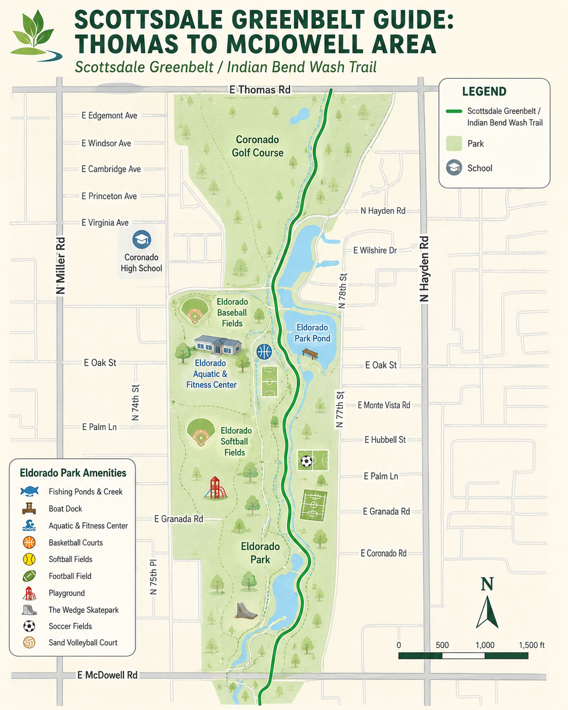
The Thomas Road to McDowell Road section is one of the most active and recreation-heavy parts of the Scottsdale Greenbelt. This stretch is anchored by Eldorado Park, one of Scottsdale’s major community parks, and is close to Coronado High School, one of South Scottsdale’s best-known public schools.
For visitors, this part of the Greenbelt offers a little bit of everything: lakes, paths, sports fields, an aquatic and fitness center, playgrounds, skateboarding, picnic areas, and shaded open space. It is a strong example of how the Indian Bend Wash corridor became more than flood-control infrastructure. It became a place for everyday community life.
Eldorado Park is one of the major recreation destinations in the Scottsdale Greenbelt. Located at 2311 N. Miller Road, the park sits within the Indian Bend Wash corridor and offers a large mix of sports, water, fitness, skating, playground, and picnic amenities. Scottsdale lists Eldorado Park as a public park open from sunrise to 10:30 p.m., with ramadas, picnic areas, community center access, and Greenbelt connections.
The park is especially useful because it serves many types of visitors at once. Families use the playgrounds and picnic areas. Athletes use the fields and courts. Swimmers and fitness users visit the Eldorado Aquatic & Fitness Center. Skaters use The Wedge Skatepark. Walkers, runners, and cyclists use the Greenbelt path as it continues through the park.
Eldorado Park Amenities
🎣 Fishing Ponds & Creek
🚤 Boat Dock
🏊 Eldorado Aquatic & Fitness Center
🏀 Basketball Courts
🥎 Softball Fields
🏈 Football Field with Scoreboard
🛝 Playgrounds
🛹 The Wedge Skatepark
⚽ Soccer Fields
🏐 Sand Volleyball Court
🧺 Picnic Areas and Ramadas
🚶 Walking Paths
🚲 Bike-Friendly Greenbelt Connection
Eldorado Aquatic & Fitness Center
The Eldorado Aquatic & Fitness Center is one of the park’s biggest attractions. Scottsdale lists the aquatic facility as having 13 short-course lap lanes, a heated winter pool, two 1-meter diving boards, two 3-meter diving boards, two large water slides, zero-depth entry, a large play pool, a water playground, swim lessons, lap swim, water exercise, and other aquatic programming. The fitness center includes aerobic and fitness classes, free weights, machine weights, and cardiovascular equipment.
This makes Eldorado Park one of the most complete recreation stops along the Greenbelt. It is not just a place to pass through. It is a destination for swimming, fitness, sports, family activities, and outdoor recreation.
The Wedge Skatepark is one of the most recognizable features at Eldorado Park. Located inside the park, Scottsdale describes The Wedge as a 21,000-square-foot poured-concrete skatepark connected to the park’s multi-use paths. It includes an old-school bowl with steep transitions, two pyramid boxes, an L-shaped quarter pipe and transition ramp section, a large flat area, and grind rails for technical street skating.
The skatepark gives this part of the Greenbelt a younger and more energetic feel. It also shows how the Greenbelt has continued adapting over time, adding recreation features that serve different generations and different styles of outdoor activity.
Eldorado Park History
Eldorado Park has been a central part of Scottsdale’s recreational landscape for decades. As one of the important early park areas within the Indian Bend Wash corridor, it helped prove that flood-prone land could become useful public space rather than wasted land.
The park reflects the Greenbelt’s larger purpose: a working flood-control corridor that also supports sports, fitness, water recreation, skating, family gatherings, and everyday outdoor life. Over time, additions such as the aquatic and fitness center and The Wedge Skatepark helped make Eldorado Park one of the most active and varied parks in the entire Greenbelt system.
Coronado High School is another important South Scottsdale landmark near this section of the Greenbelt. Located at 7501 E. Virginia Avenue, Coronado is part of the Scottsdale Unified School District and serves grades 9 through 12. The school opened in 1961, and its colors are scarlet red and navy blue. Its mascot is the Coronado Don.
Coronado is closely tied to South Scottsdale’s history and identity. The school was named after Spanish explorer Francisco Vásquez de Coronado, and the original campus was designed by noted Phoenix modernist architect Ralph Haver. Haver’s work is associated with mid-century modern architecture in Phoenix and Scottsdale, and Coronado’s campus became one of the recognizable examples of that era’s public-school design.
The campus also has a fun connection to pop culture. Many scenes from Bill & Ted’s Excellent Adventure were filmed in and around Scottsdale’s Coronado High School, helping give the school a small place in movie history.
Coronado High School History
Coronado High School opened in 1961 as a public high school serving South Scottsdale. From the beginning, it offered a traditional comprehensive high school experience with college-preparatory and vocational/technical programs. Over the decades, it became a major neighborhood institution for students, families, athletics, clubs, arts, and community events.
For the Greenbelt guide, Coronado High School is useful as both a landmark and a piece of local context. It sits near the southern Greenbelt corridor and helps connect the story of the wash to the broader history of South Scottsdale, including mid-century growth, public-school construction, neighborhood identity, and local culture.
What Makes This Section Special
The Thomas Road to McDowell Road section is one of the most energetic parts of the Greenbelt. Eldorado Park gives the area its major recreation identity, with ponds, sports fields, swimming, fitness, skating, playgrounds, and picnic spaces all connected to the trail.
Coronado High School adds another layer of local history. Together, the park and school show how the Greenbelt became woven into South Scottsdale’s everyday life. This section is not just scenic open space. It is a community recreation corridor, a student and family landmark, and one of the clearest examples of the Greenbelt’s role as a public gathering place.
McDowell Road
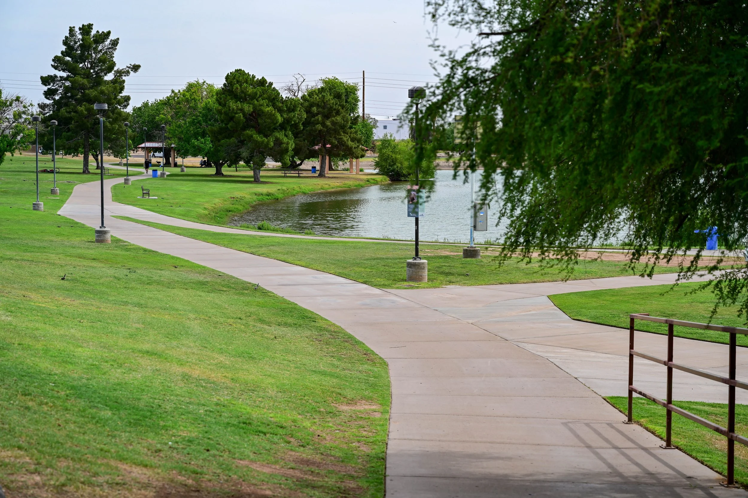
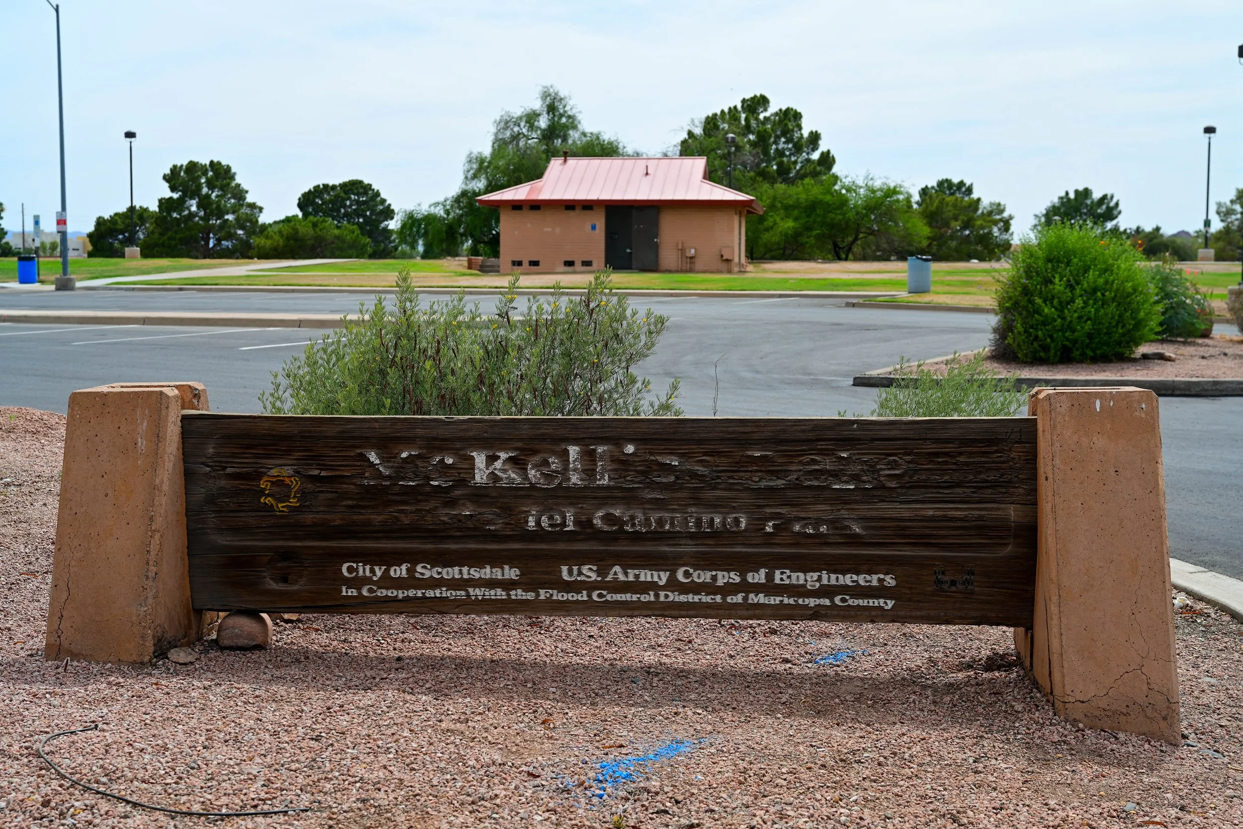
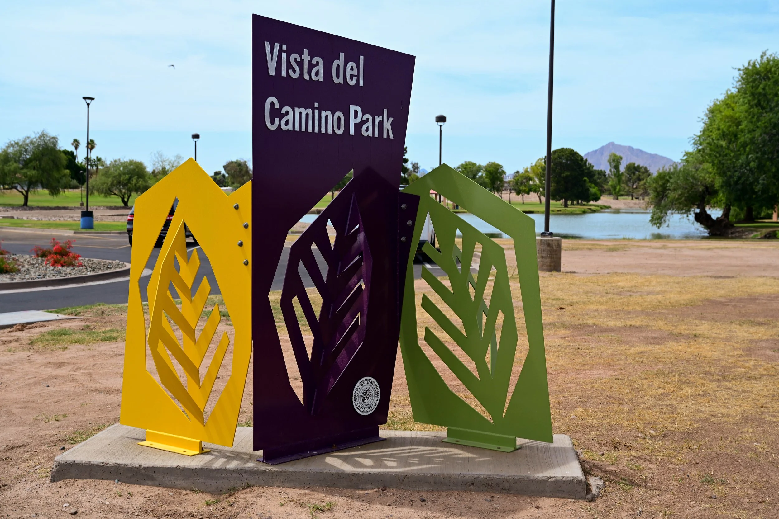
The McDowell Road to McKellips Road section is one of the southernmost parts of the Scottsdale Greenbelt. This stretch is anchored by Vista del Camino Park and connects toward Indian Bend Park near the Scottsdale and Tempe border.
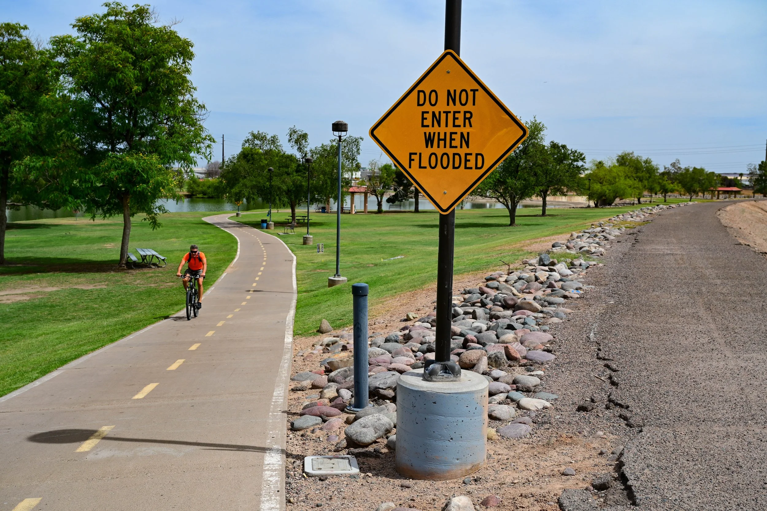
This area has a strong South Scottsdale feel. It is practical, active, and community-focused, with ponds, paths, sports fields, a community center, a splash pad, disc golf, a dog park, and neighborhood recreation spaces. For walkers, runners, cyclists, families, and dog owners, it offers a useful connection between the larger Greenbelt system to the north and the regional path network that continues south toward Tempe.
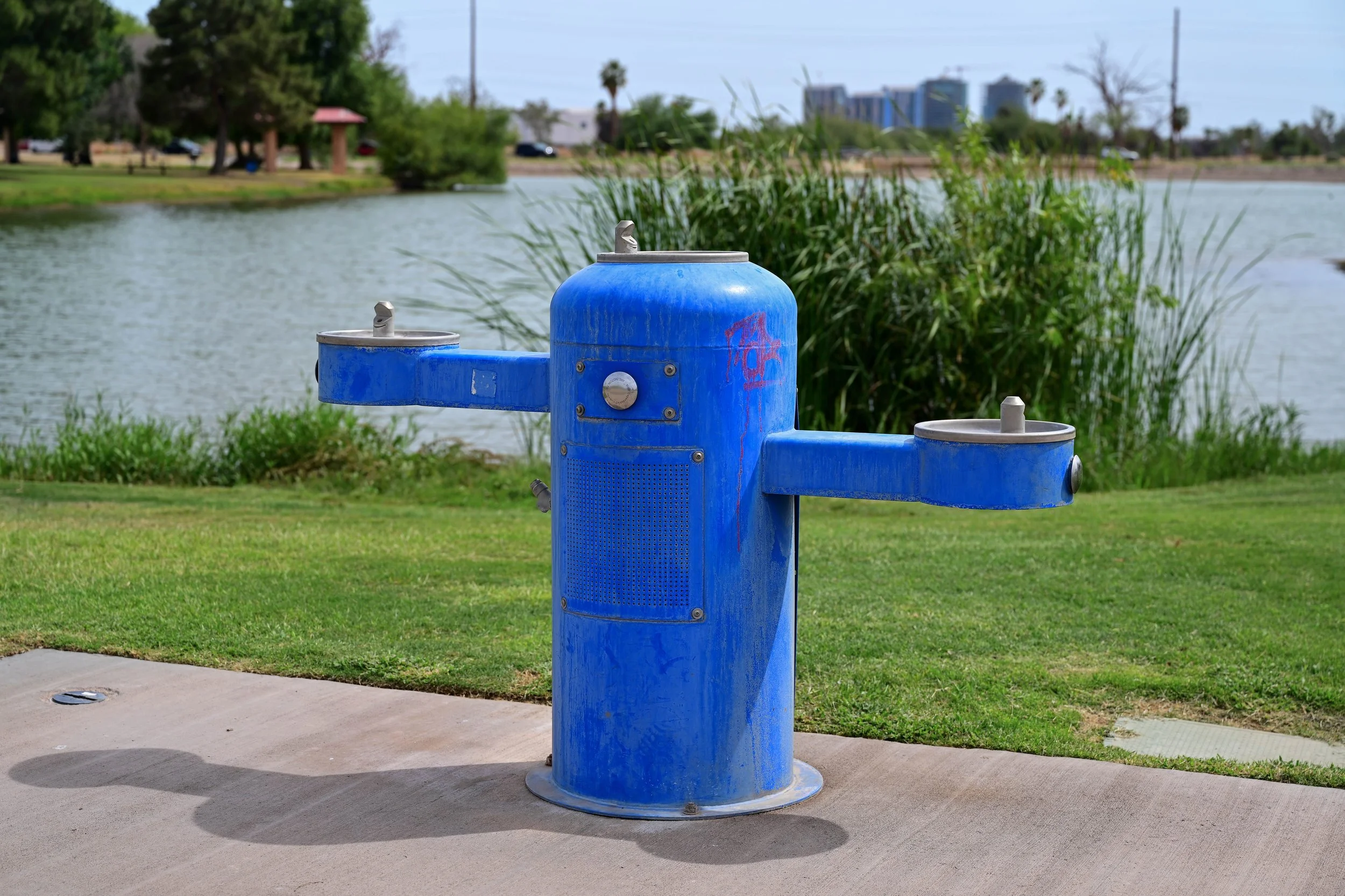
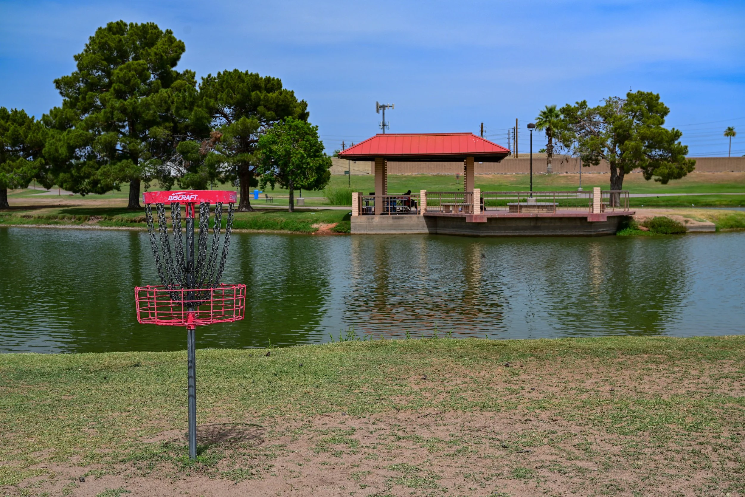
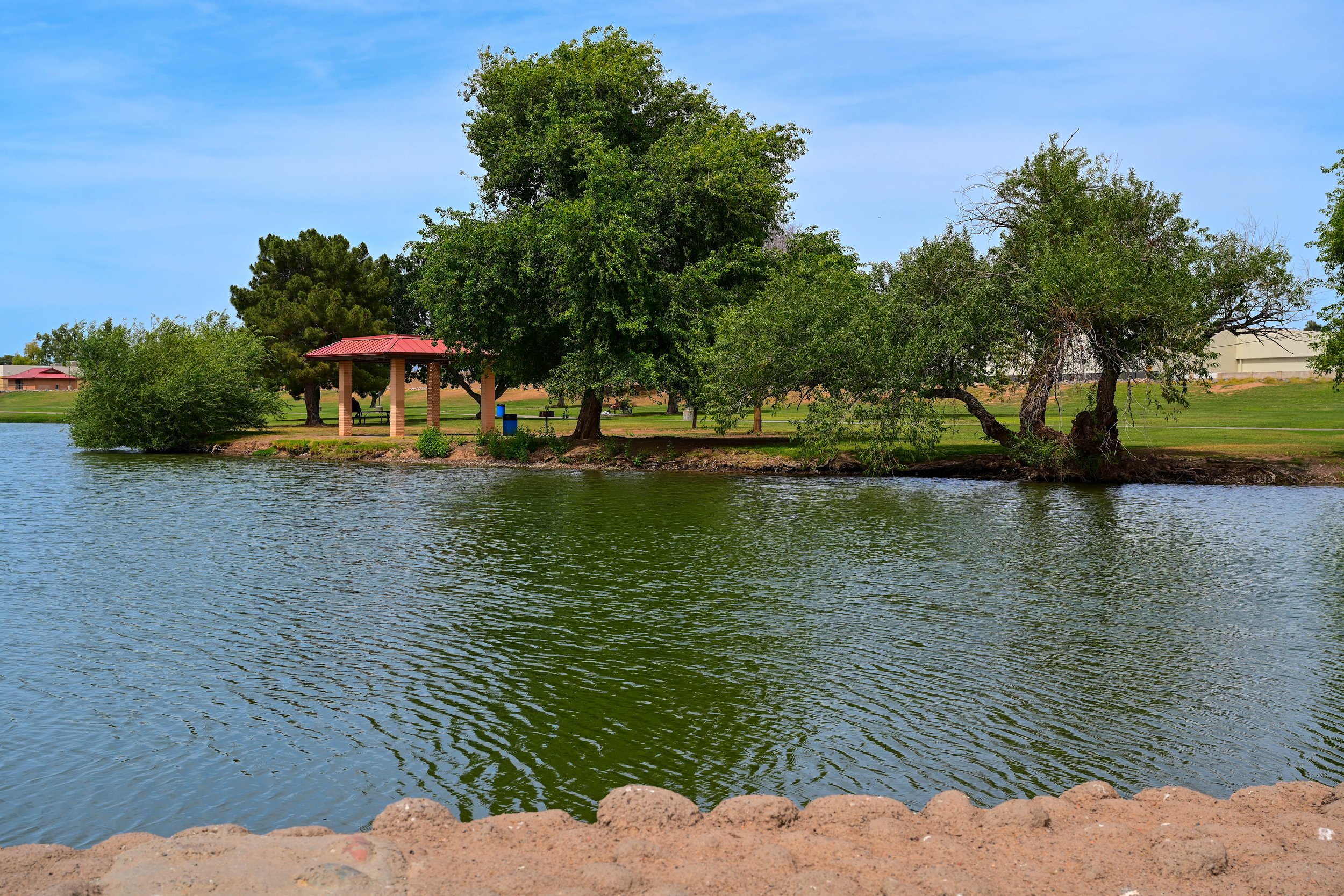
Vista del Camino Park is one of the most active community parks in the southern Greenbelt. Located at 7700 E. Roosevelt Street, the park sits within the Indian Bend Wash corridor and offers a wide variety of recreation options. Scottsdale lists Vista del Camino Park as a city park with a community center, park maps, walking map, dog park information, reservable spaces, sports field reservation options, and community programs.
The park is especially useful because it combines recreation with community services. The Vista del Camino Community Center provides human services programs, including emergency social services, financial assistance, job preparation, and youth programs. That makes this section of the Greenbelt more than a place to exercise. It is also a practical community resource for South Scottsdale.
For Greenbelt users, Vista del Camino Park is a great stop for walking, biking, fishing, playing, cooling off at the splash pad, using the dog park, or enjoying a casual round of disc golf. Its mix of amenities makes it one of the most varied parks along the southern part of the corridor.
Vista del Camino Park Amenities
🎣 Fishing Ponds & Creek
🏛️ Community Center
🏀 Basketball Court
🥎 Softball Fields
💦 Splash Pad
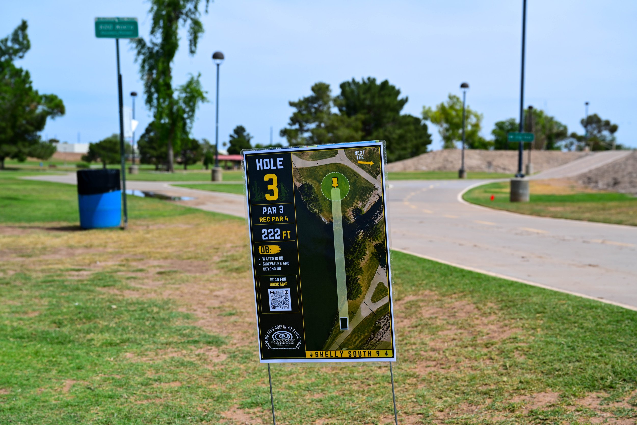
🥏 Disc Golf
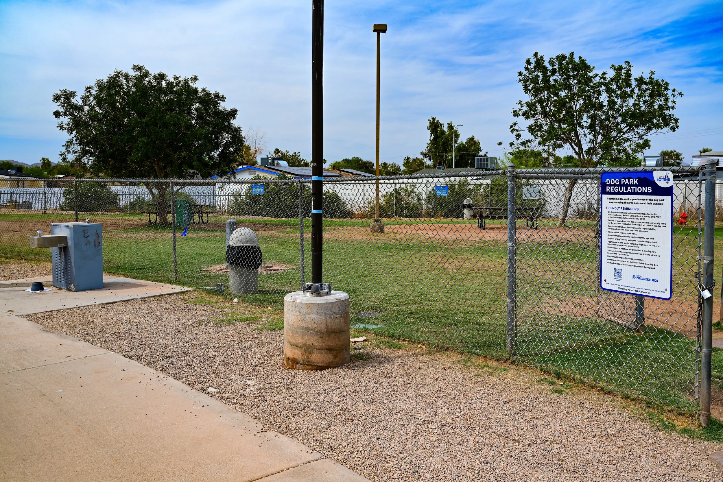
🐕 Dog Park
🏐 Grass Volleyball Courts
🧲 Horseshoes
🚶 Walking Paths
🚲 Bike-Friendly Greenbelt Connection
🧺 Picnic Areas / Reservable Spaces
Vista del Camino Dog Park is a helpful stop for dog owners using the Greenbelt. Scottsdale describes it as a half-acre dog park with shade trees, benches, and water fountains. Parking is available off Pierce Street, just north of McKellips Road, with the dog park located northwest of that parking area.
The dog park adds to the practical, everyday feel of Vista del Camino. It gives nearby residents and Greenbelt visitors a dedicated place for dogs while keeping the main trail and park areas more comfortable for walkers, cyclists, families, and other users.
Vista del Camino Park History
Vista del Camino Park was developed as part of Scottsdale’s larger effort to make the Indian Bend Wash corridor useful for both flood control and recreation. In this part of the city, the Greenbelt serves a very practical role: it gives South Scottsdale residents access to open space, community services, sports, water features, and walking and biking routes.
The park’s disc golf course, splash pad, dog park, community center, ponds, and sports amenities help make it one of the most diverse parks in the Greenbelt system. It is less formal than some of the larger central parks, but that is part of its strength. Vista del Camino feels like a working neighborhood park, built for everyday use.
The City of Scottsdale has also identified Vista del Camino and nearby Eldorado Park as part of the Indian Bend Wash Master Plan: Thomas to McKellips, noting that these parks are heavily used, provide valuable amenities, and have aging infrastructure that needs to be evaluated for current and future users.
Indian Bend Park is located near the southern end of this section, close to where the Greenbelt corridor continues toward Tempe. The park is at Miller Road and Marigold Lane in Tempe and is one of the nearby park connections south of McKellips Road. Tempe lists Indian Bend Park as an 8-acre park with basketball courts, grills, lighting, picnic tables, playground, restrooms, soccer field, and tennis courts.
For Greenbelt users, Indian Bend Park helps extend the experience beyond Scottsdale’s main park corridor. It connects the southern end of the Greenbelt area with neighborhood recreation in Tempe, giving walkers, cyclists, and families another useful destination near the regional path system.
Indian Bend Park Amenities
⚽ Soccer Field
🛝 Playground
🏀 Basketball Courts
🎾 Tennis Courts
🧺 Picnic Tables
🔥 Grills
💡 Lighting
🚻 Restrooms
🚶 Walking Access
🚲 Bike-Friendly Connection
Indian Bend Park History
Indian Bend Park has a longer history than many people might expect. The City of Tempe states that Indian Bend Park was developed in 1962 on land that was previously owned by the Salt River Project.
That history fits naturally with the larger Indian Bend Wash story. Much of the Greenbelt’s history is about water, drainage, canals, flood control, and turning utility land into public open space. Indian Bend Park reflects that same pattern on the Tempe side of the corridor: land connected to regional water and infrastructure systems becoming a neighborhood park.
What Makes This Section Special
The McDowell Road to McKellips Road section is one of the most practical and community-centered parts of the Greenbelt. Vista del Camino Park gives the area its strongest identity, with ponds, sports fields, a splash pad, disc golf, a dog park, and a community center all tied into the trail corridor.
Indian Bend Park adds a southern connection toward Tempe and helps show that the Greenbelt is not only a Scottsdale park system. It is part of a larger regional pattern of paths, parks, water corridors, and neighborhood open spaces.
Together, Vista del Camino Park and Indian Bend Park make this section useful, active, and approachable. It is a place for families, dogs, sports, fitness, walking, biking, and everyday South Scottsdale recreation.